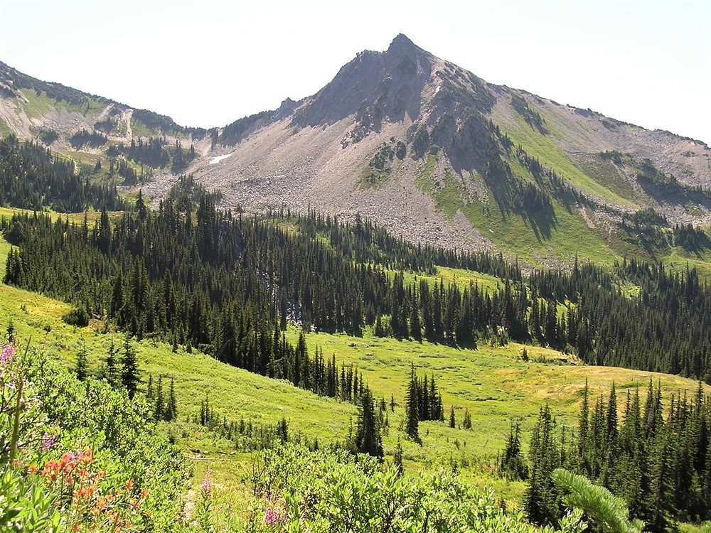
Lost Peak is a 6,515-foot-elevation (1,986-meter) mountain summit located within Olympic National Park in Jefferson County of Washington state. Part of the Olympic Mountains, Lost Peak is situated immediately northeast of Lost Pass, and is set within the Daniel J. Evans Wilderness. Precipitation runoff from the mountain drains east into the Dosewallips River, and west into the headwaters of the Lost River. Neighbors include line parent Mount Cameron, 0.8 mi (1.3 km) to the north, along with Mount Fromme and Mount Claywood, both 1.8 mi (2.9 km) to the southwest. Topographic relief is significant as the southeast aspect rises 2,500 feet (760 meters) above the Dosewallips River in approximately one mile. This landform's name has been officially adopted by the U.S. Board on Geographic Names. The origin of the "Lost" name is unknown, but a park ranger once described the river area as a "good place to get lost" because of the confusing and difficult travel.
By elevation Lost Peak is
# 39 out of 113 in Jefferson County # 42 out of 144 in Olympic National Park # 46 out of 284 in the Olympic Mountains
By prominence Lost Peak is
# 75 out of 113 in Jefferson County # 97 out of 144 in Olympic National Park
We use GPS information embedded into the photo when it is available.
3D mountains overlay
Adjust mountain panorama to perfectly match your photos because recorded by camera photo position might be imprecise.
Move tool
Rotate tool
Zoom
More customization
Choose which peak labels should make into the final photo and what photo title should be.
Next
Photo Location
Satellitte
Flat map
Relief map
Latitude
Longitude
Altitude
OR
Latitude
°'''
Longitude
°'''
Apply
Register Peak
Peak Name
Latitude
Longitude
Altitude
Register
Teleport
PeakVisor
This 3D model of Sagarmatha National Park in Nepal was made using the PeakVisor app topographic data. The mobile app features higher precision models worldwide, more topographic details, and works offline. Download PeakVisor maps today.
Download OBJ model
PeakVisor
The download should start shortly. If you find it useful please consider supporting the PeakVisor app.
PeakVisor for iOS and Android
Be a superhero of outdoor navigation with state-of-the-art 3D maps and mountain identification in the palm of your hand!