Whitbarrow is a hill in Cumbria, England, designated a biological Site of Special Scientific Interest and national nature reserve, forming part of the Morecambe Bay Pavements Special Area of Conservation due to its supporting some of the best European examples of natural limestone habitats. Also known as Whitbarrow Scar (though properly that term applies to the cliffs lining its western edge), the hill lies about 9 kilometres (5.6 mi) southwest of Kendal, just north of the A590 road, close to the village of Witherslack. Part of the site is a local nature reserve called Whitbarrow Scar. Whitbarrow's summit, known as Lord's Seat, is at 215 metres (705 ft) and has a prominence of 182 metres (597 ft), classifying it as a Marilyn.
It is a mixture of woodland, grassland and limestone pavement. The hill is prominent from the A590 road with its steep limestone cliffs, laid down in the Carboniferous period some 350 million years ago. The main cliff faces are made up of rocks known as Dalton Beds, above which are Urswick Limestones, of which the limestone pavement (here and elsewhere around Morecambe Bay, including Hutton Roof Crags) has been formed.
Whitbarrow, like most of the Lake District, shows many signs of the last ice age, including glacial erratics (boulders left behind when the ice retreated), and the limestone pavement itself, formed when ice left bare limestone exposed to the elements which eroded it and left us with the grikes and clints we see today. The limestone has been used for many purposes including building, agricultural fertiliser, and production of millstones, but is now protected by law and it is an offence to remove any. Whitbarrow NNR is owned and managed by the Forestry Commission, Lake District National Park Authority and the Cumbria Wildlife Trust.
Much of Whitbarrow is covered in woodland, initially naturally and from 1919 following planting; the Forestry Commission now holds leases on parts of the hill. A variety of techniques are used to manage the woodland, including coppicing; the variety of methods adds to the range of wildlife resulting.
A 6.5-mile (10.5 km) anticlockwise walk to Whitbarrow's summit, Lord's Seat, from Witherslack, returning along the valley to the west, forms a chapter in The Outlying Fells of Lakeland by Alfred Wainwright. He describes it as "the most beautiful [walk] in this book; beautiful it is every step of the way. ... All is fair to the eye on Whitbarrow."
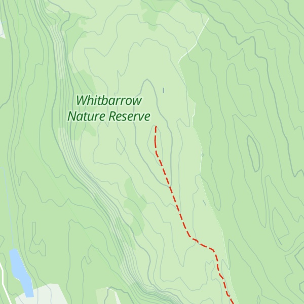
There's a hiking trail (T1) leading to the summit.
By prominence Lord's Seat is
# 34 out of 864 in Lake District National Park # 46 out of 1704 in Cumbria # 33 out of 838 in The English Lake District WHS
We use GPS information embedded into the photo when it is available.
3D mountains overlay
Adjust mountain panorama to perfectly match your photos because recorded by camera photo position might be imprecise.
Move tool
Rotate tool
Zoom
More customization
Choose which peak labels should make into the final photo and what photo title should be.
Next
Photo Location
Satellitte
Flat map
Relief map
Latitude
Longitude
Altitude
OR
Latitude
°'''
Longitude
°'''
Apply
Register Peak
Peak Name
Latitude
Longitude
Altitude
Register
Teleport
PeakVisor
This 3D model of Sagarmatha National Park in Nepal was made using the PeakVisor app topographic data. The mobile app features higher precision models worldwide, more topographic details, and works offline. Download PeakVisor maps today.
Download OBJ model
PeakVisor
The download should start shortly. If you find it useful please consider supporting the PeakVisor app.
PeakVisor for iOS and Android
Be a superhero of outdoor navigation with state-of-the-art 3D maps and mountain identification in the palm of your hand!