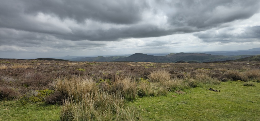
The Long Mynd (Welsh: Cefn Hirfynydd) is a heath and moorland plateau that forms part of the Shropshire Hills in Shropshire, England. The high ground, which is common land and designated as an Area of Outstanding Natural Beauty, lies between the Stiperstones range to the west and the Stretton Hills and Wenlock Edge to the east. Much of it is owned by the National Trust, and is managed by the Longmynd Commoners.
The Long Mynd is approximately 7 miles (11 km) long by 3 miles (5 km) wide, and is broadly characterised by steep valleys on its eastern flanks, and a long slope to the western side rising in a steep escarpment. In its vicinity are the principal settlements of Church Stretton, Little Stretton and All Stretton, Pulverbatch, Smethcott, Woolstaston, Asterton, Myndtown, Wentnor and Ratlinghope.
The highest point on the Long Mynd is Pole Bank (1,693 ft, 516 m); this and the adjacent hill of Caer Caradoc (1,506 ft, 459 m) are classed as Marilyns.
There's a hiking trail (T1) leading to the summit. Long Mynd is one of the 1 peaks along the Pole Bank Walk.
By elevation Long Mynd is
# 9 out of 260 in Shropshire # 9 out of 150 in Shropshire Hills AONB
We use GPS information embedded into the photo when it is available.
3D mountains overlay
Adjust mountain panorama to perfectly match your photos because recorded by camera photo position might be imprecise.
Move tool
Rotate tool
Zoom
More customization
Choose which peak labels should make into the final photo and what photo title should be.
Next
Photo Location
Satellitte
Flat map
Relief map
Latitude
Longitude
Altitude
OR
Latitude
°'''
Longitude
°'''
Apply
Register Peak
Peak Name
Latitude
Longitude
Altitude
Register
Teleport
PeakVisor
This 3D model of Sagarmatha National Park in Nepal was made using the PeakVisor app topographic data. The mobile app features higher precision models worldwide, more topographic details, and works offline. Download PeakVisor maps today.
Download OBJ model
PeakVisor
The download should start shortly. If you find it useful please consider supporting the PeakVisor app.
PeakVisor for iOS and Android
Be a superhero of outdoor navigation with state-of-the-art 3D maps and mountain identification in the palm of your hand!