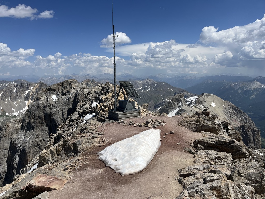
Grand Galibier (3,228 m) is a mountain of the Cottian Alps in Savoie, France.
It is the highest mountain of the Massif des Cerces, a small chain of mountains located about 20 km northwest of Briançon, deep in the heart of the French Alps. It is most famous for giving its name to nearby Col du Galibier, a classic Tour de France climb, which lies on the mountain's shoulder, several hundred metres underneath its summit. The area around the mountain is also popular for hiking and mountain climbing.
There's an alpine trail (T4) leading to the summit.
By elevation Le Grand Galibier is
# 33 out of 553 in the Massif des Cerces # 23 out of 544 in Parc national des Écrins # 51 out of 1883 in the Cottian Alps
By prominence Le Grand Galibier is
# 9 out of 553 in the Massif des Cerces # 6 out of 544 in Parc national des Écrins # 72 out of 9907 in Auvergne-Rhône-Alpes # 26 out of 1550 in Savoy # 19 out of 2176 in Hautes-Alpes # 43 out of 6312 in Provence-Alpes-Côte d'Azur # 17 out of 1883 in the Cottian Alps
We use GPS information embedded into the photo when it is available.
3D mountains overlay
Adjust mountain panorama to perfectly match your photos because recorded by camera photo position might be imprecise.
Move tool
Rotate tool
Zoom
More customization
Choose which peak labels should make into the final photo and what photo title should be.
Next
Photo Location
Satellitte
Flat map
Relief map
Latitude
Longitude
Altitude
OR
Latitude
°'''
Longitude
°'''
Apply
Register Peak
Peak Name
Latitude
Longitude
Altitude
Register
Teleport
PeakVisor
This 3D model of Sagarmatha National Park in Nepal was made using the PeakVisor app topographic data. The mobile app features higher precision models worldwide, more topographic details, and works offline. Download PeakVisor maps today.
Download OBJ model
PeakVisor
The download should start shortly. If you find it useful please consider supporting the PeakVisor app.
PeakVisor for iOS and Android
Be a superhero of outdoor navigation with state-of-the-art 3D maps and mountain identification in the palm of your hand!