Kīlauea (US: KIL-ə-WAY-ə, Hawaiian: [kiːlɐwˈwɛjə]) is an active shield volcano in the Hawaiian Islands. It is located along the southeastern shore of Hawaii Island. The volcano is between 210,000 and 280,000 years old and grew above sea level about 100,000 years ago. Since the islands were settled, it has been the most active of the five volcanoes that together form the island and among the most active volcanoes on Earth. The most recent eruption occurred on June 3, 2024, along fissures that opened on the volcano's southwest rift zone.
Kīlauea is the second-youngest product of the Hawaiian hotspot and the current eruptive center of the Hawaiian–Emperor seamount chain. Because it lacks topographic prominence and its activities historically coincided with those of Mauna Loa, Kīlauea was once thought to be a satellite of its much larger neighbor. Kīlauea has a large, fairly recently formed caldera at its summit and two active rift zones, one extending 125 km (78 mi) east and the other 35 km (22 mi) west. An active fault of unknown depth moves vertically an average of 2 to 20 mm (0.1 to 0.8 in) per year.
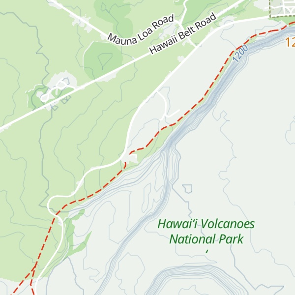
Between 2008 and 2018, Halemaʻumaʻu, a pit crater located within Kīlauea's summit caldera, hosted an active lava lake. Kīlauea erupted nearly continuously from vents on its eastern rift zone between January 1983 and April 2018, causing major property damage, including the destruction of the towns of Kalapana and Kaimū along with the community's renowned black sand beach, in 1990.
Beginning in May 2018, activity shifted further downrift from the summit to the lower Puna district, during which lava erupted from two dozen vents with eruptive fountains that sent rivers of lava into the ocean in three places. The eruption destroyed Hawaii's largest natural freshwater lake, covered substantial portions of Leilani Estates and Lanipuna Gardens, and destroyed the communities of Kapoho, Vacationland Hawaii, and most of the Kapoho Beach Lots. The County of Hawaii reported that 716 dwellings were destroyed. Concurrent with the activity downrift in lower Puna, the lava lake within Halemaʻumaʻu drained and a series of explosive collapse events occurred at the volcano's summit, with at least one explosion emitting ash 30,000 feet (9,100 m) into the air. This activity prompted a months-long closure of the Kīlauea section of Hawaii Volcanoes National Park. The eruption ended in September 2018. Since 2020, several eruptions have partially filled the enlarged caldera left by the 2018 collapse events with lava.
We use GPS information embedded into the photo when it is available.
3D mountains overlay
Adjust mountain panorama to perfectly match your photos because recorded by camera photo position might be imprecise.
Move tool
Rotate tool
Zoom
More customization
Choose which peak labels should make into the final photo and what photo title should be.
Next
Photo Location
Satellitte
Flat map
Relief map
Latitude
Longitude
Altitude
OR
Latitude
°'''
Longitude
°'''
Apply
Register Peak
Peak Name
Latitude
Longitude
Altitude
Register
Teleport
PeakVisor
This 3D model of Sagarmatha National Park in Nepal was made using the PeakVisor app topographic data. The mobile app features higher precision models worldwide, more topographic details, and works offline. Download PeakVisor maps today.
Download OBJ model
PeakVisor
The download should start shortly. If you find it useful please consider supporting the PeakVisor app.
PeakVisor for iOS and Android
Be a superhero of outdoor navigation with state-of-the-art 3D maps and mountain identification in the palm of your hand!