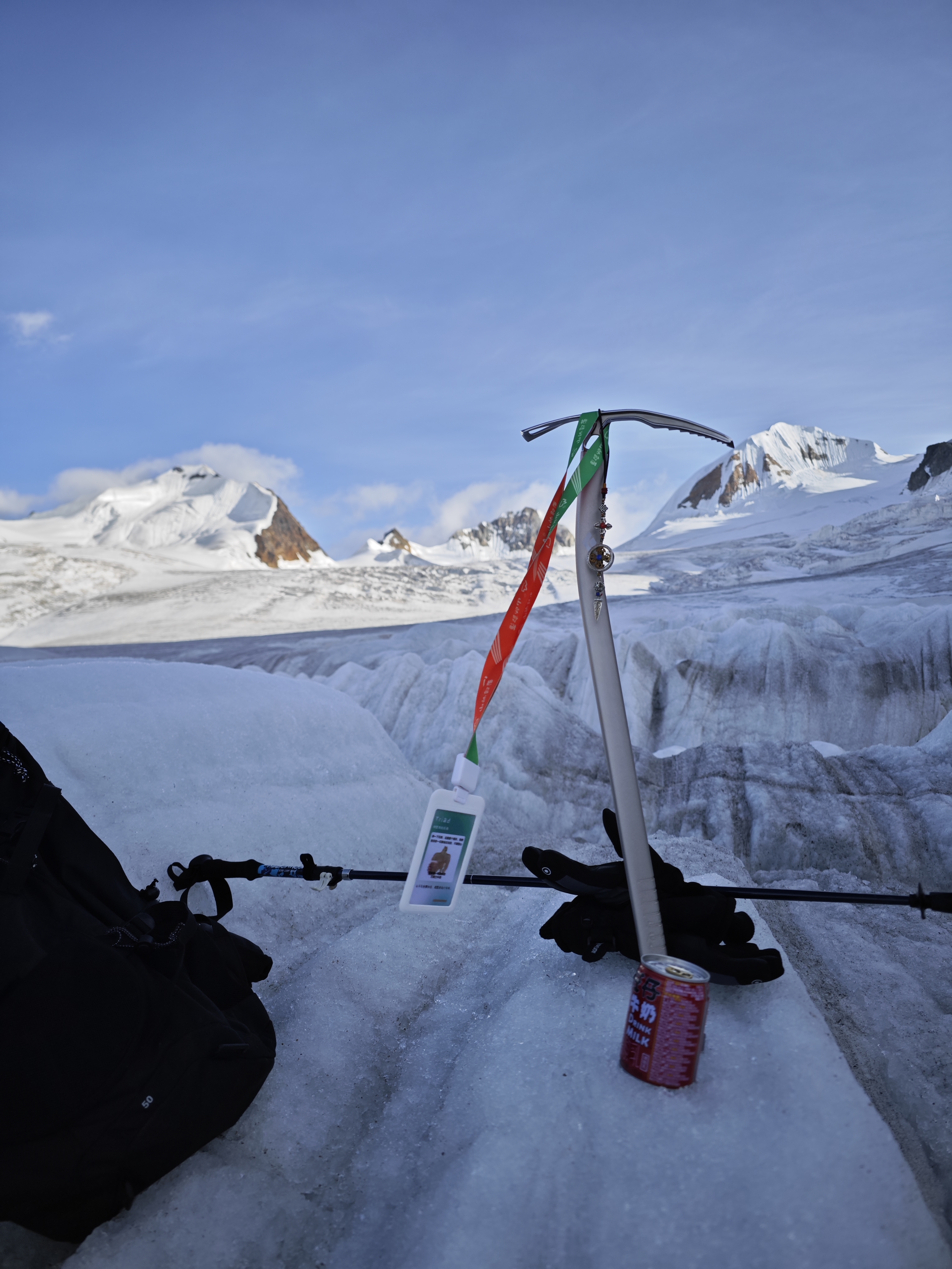
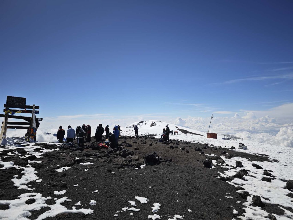
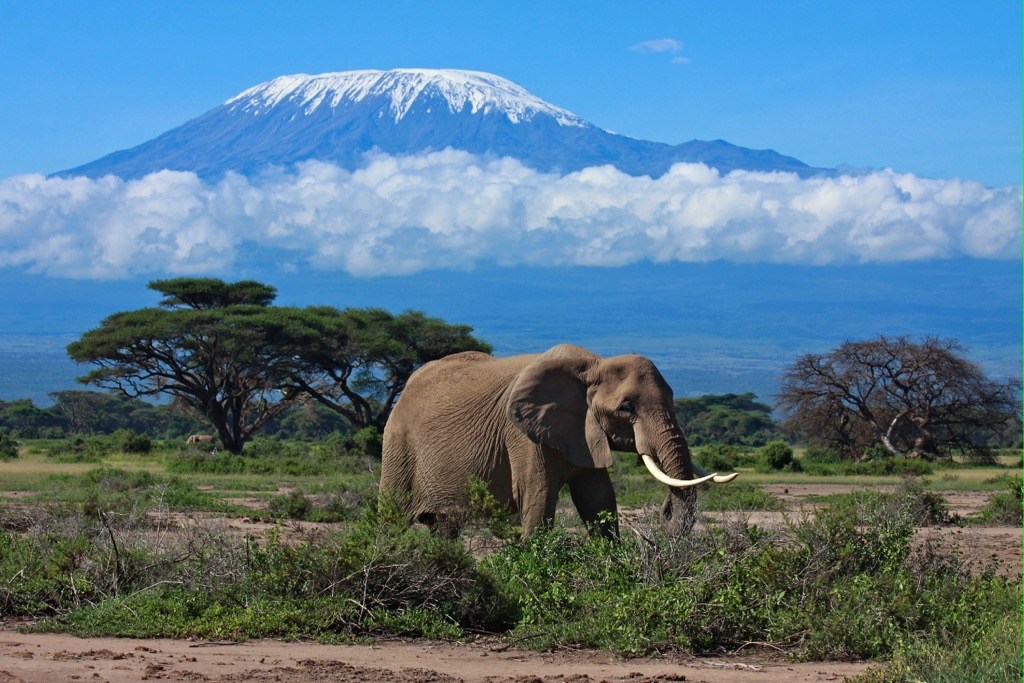
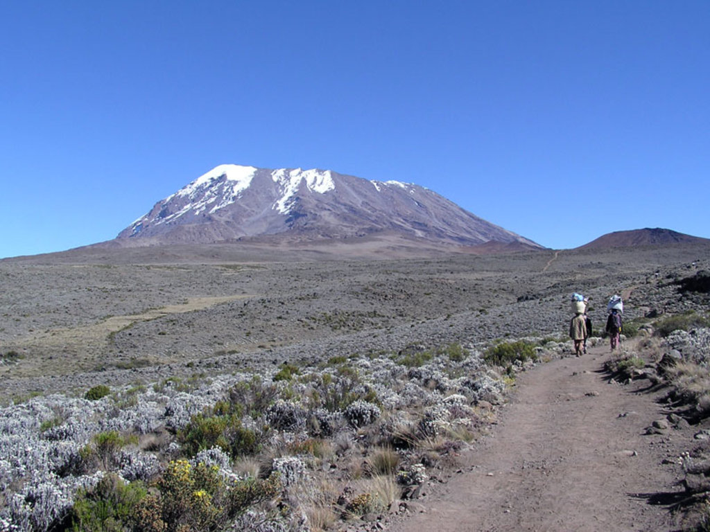
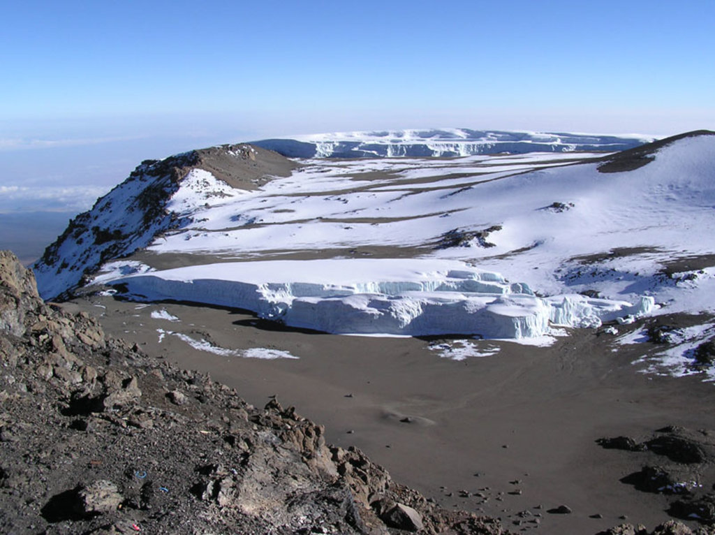
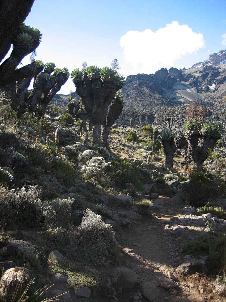
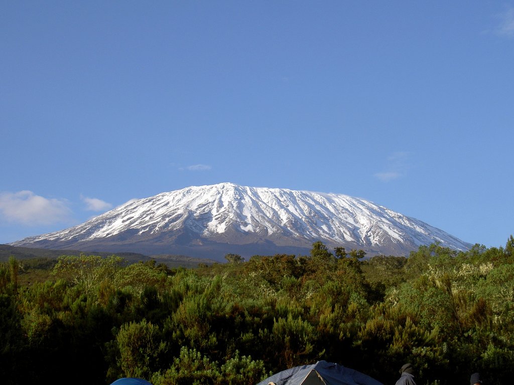
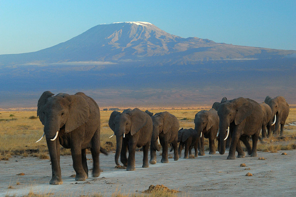
Mount Kilimanjaro ( ), with its three volcanic cones, "Kibo", "Mawenzi", and "Shira", is a dormant volcano in Tanzania. It is the highest mountain in Africa, and rises approximately 4,900 metres (16,100 ft) from its base to 5,895 metres (19,341 ft) above sea level. The first persons proven to have reached the summit of the mountain were Hans Meyer, and Ludwig Purtscheller in 1889. The mountain is part of the Kilimanjaro National Park and is a major climbing destination. The mountain has been the subject of many scientific studies because of its shrinking glaciers and disappearing ice fields.
By elevation Kilimanjaro - Uhuru Peak is
# 1 out of 107 in Kilimanjaro # 1 out of 2392 in Tanzania # 1 out of 11 in Kilimanjaro National Park # 1 out of 380 in the Pare Mountains
By prominence Kilimanjaro - Uhuru Peak is
# 1 out of 107 in Kilimanjaro # 1 out of 2392 in Tanzania # 1 out of 11 in Kilimanjaro National Park # 1 out of 380 in the Pare Mountains
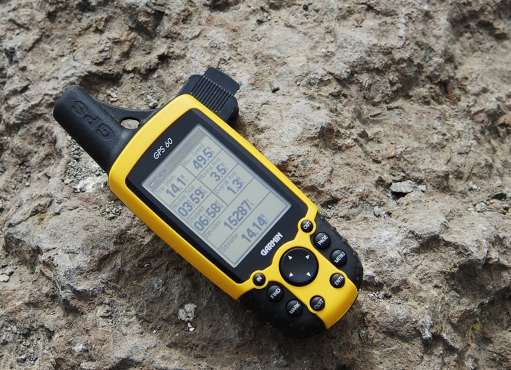
We use GPS information embedded into the photo when it is available.
3D mountains overlay
Adjust mountain panorama to perfectly match your photos because recorded by camera photo position might be imprecise.
Move tool
Rotate tool
Zoom
More customization
Choose which peak labels should make into the final photo and what photo title should be.
Next
Photo Location
Satellitte
Flat map
Relief map
Latitude
Longitude
Altitude
OR
Latitude
°'''
Longitude
°'''
Apply
Register Peak
Peak Name
Latitude
Longitude
Altitude
Register
Teleport
PeakVisor
This 3D model of Sagarmatha National Park in Nepal was made using the PeakVisor app topographic data. The mobile app features higher precision models worldwide, more topographic details, and works offline. Download PeakVisor maps today.
Download OBJ model
PeakVisor
The download should start shortly. If you find it useful please consider supporting the PeakVisor app.
PeakVisor for iOS and Android
Be a superhero of outdoor navigation with state-of-the-art 3D maps and mountain identification in the palm of your hand!