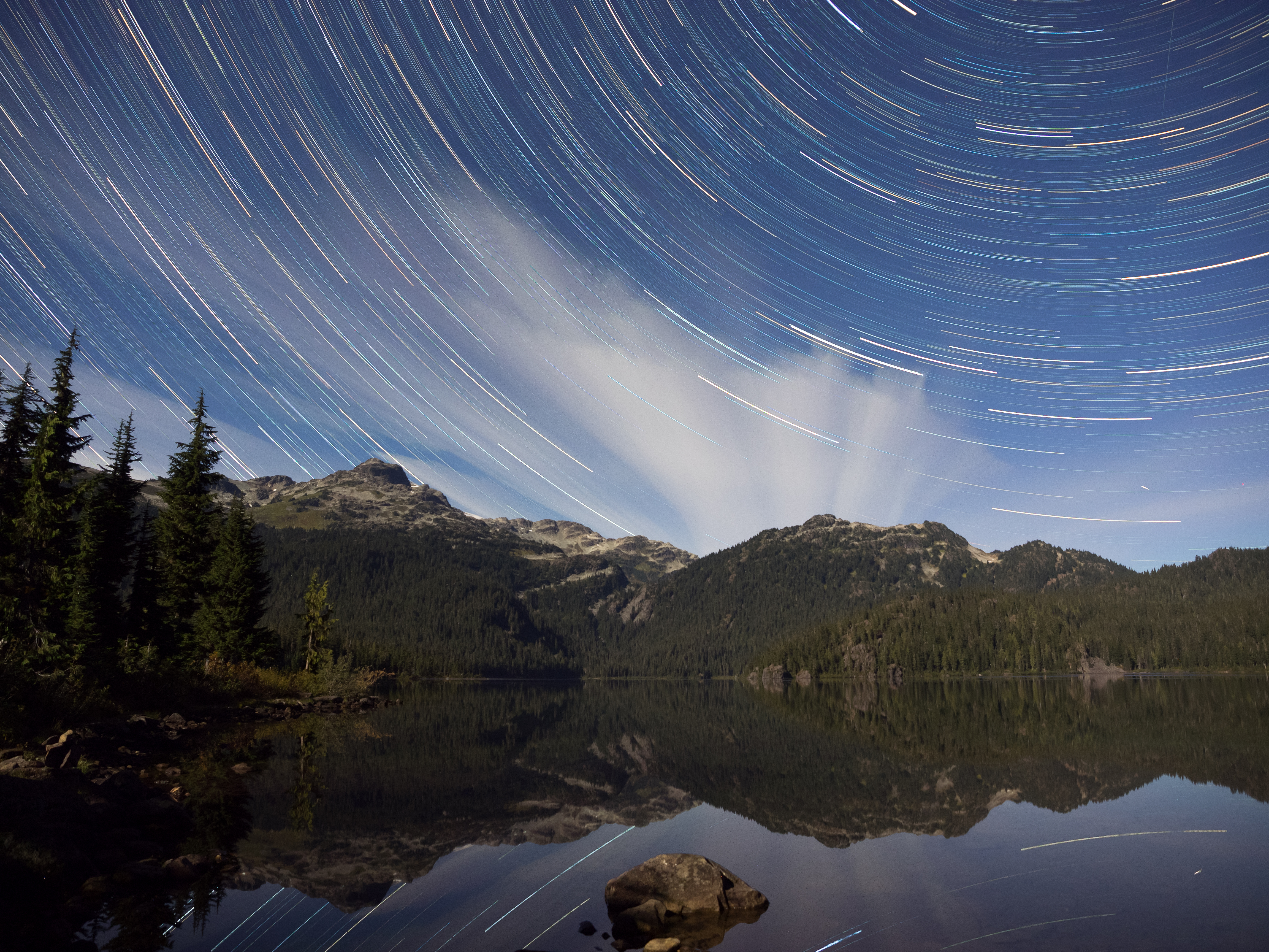
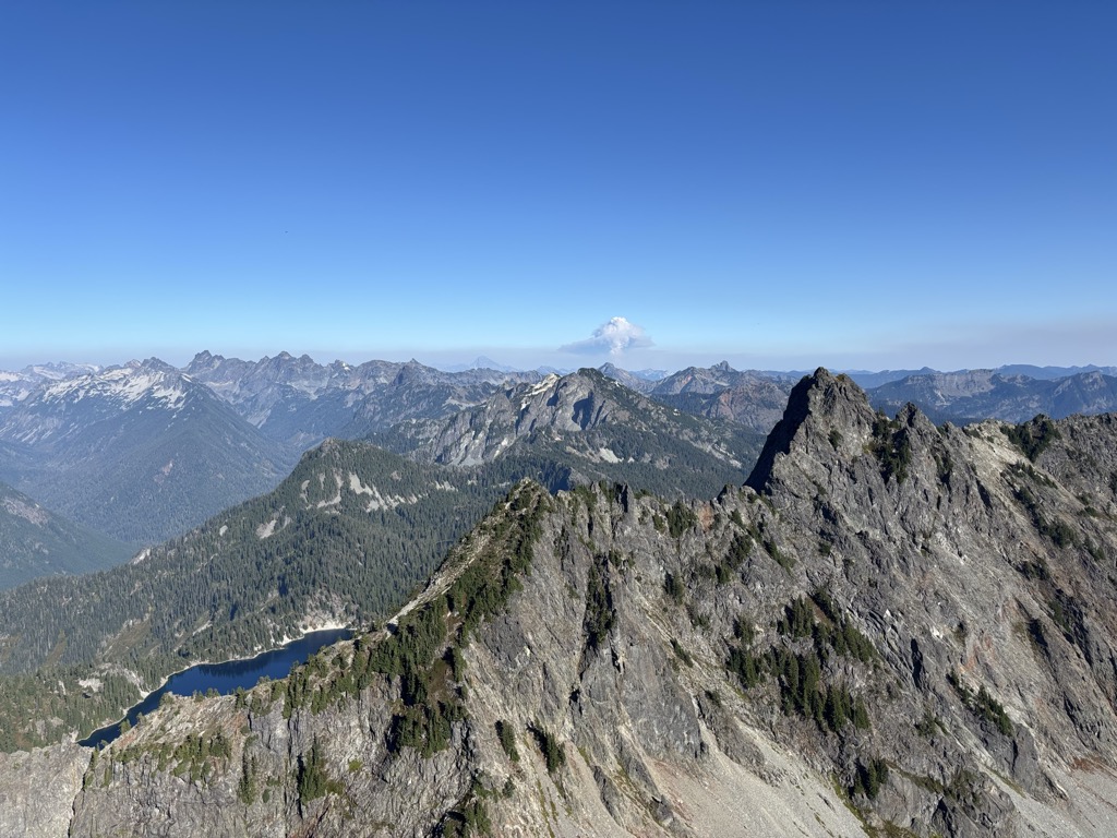
Kaleetan Peak is a prominent 6,259-foot (1,908-metre) mountain summit located in King County of Washington state. It's part of the Cascade Range and is situated four miles northwest of Snoqualmie Pass. Kaleetan Peak is set within the Alpine Lakes Wilderness on land managed by Mount Baker-Snoqualmie National Forest. It's immediately west of Melakwa Pass and Chair Peak, and north of Melakwa Lake. Precipitation runoff from the mountain drains into tributaries of the Snoqualmie River. Topographic relief is significant as the summit rises approximately 2,400 feet (730 m) above Kaleetan Lake in 0.6 mi (0.97 km). The nearest higher peak is Snoqualmie Mountain, 2.89 miles (4.65 km) to the east. The mountain's name "Kaleetan" derives from Chinook Jargon which means "arrow". The peak was named by members of The Mountaineers and the toponym was officially adopted in 1916 by the U.S. Board on Geographic Names.
There's a trail called Kaleetan Peak Climbers Trail leading to the summit. Kaleetan Peak is one of the 1 peaks along the Kaleetan Peak Trail.
By elevation Kaleetan Peak is
# 24 out of 233 in King County # 98 out of 175 in Alpine Lakes Wilderness
By prominence Kaleetan Peak is
# 8 out of 233 in King County # 31 out of 463 in Mount Baker-Snoqualmie National Forest # 8 out of 175 in Alpine Lakes Wilderness
We use GPS information embedded into the photo when it is available.
3D mountains overlay
Adjust mountain panorama to perfectly match your photos because recorded by camera photo position might be imprecise.
Move tool
Rotate tool
Zoom
More customization
Choose which peak labels should make into the final photo and what photo title should be.
Next
Photo Location
Satellitte
Flat map
Relief map
Latitude
Longitude
Altitude
OR
Latitude
°'''
Longitude
°'''
Apply
Register Peak
Peak Name
Latitude
Longitude
Altitude
Register
Teleport
PeakVisor
This 3D model of Sagarmatha National Park in Nepal was made using the PeakVisor app topographic data. The mobile app features higher precision models worldwide, more topographic details, and works offline. Download PeakVisor maps today.
Download OBJ model
PeakVisor
The download should start shortly. If you find it useful please consider supporting the PeakVisor app.
PeakVisor for iOS and Android
Be a superhero of outdoor navigation with state-of-the-art 3D maps and mountain identification in the palm of your hand!


.jpg)


