Joppenbergh Mountain is a nearly 500-foot (152 m) mountain in Rosendale Village, a hamlet in the town of Rosendale, in Ulster County, New York. The mountain is composed of a carbonate bedrock overlain by glacially deposited material. It was named after Rosendale's founder, Jacob Rutsen, and mined throughout the late 19th century for dolomite that was used in the manufacture of natural cement. Extensive mining caused a large cave-in on December 19, 1899, that destroyed equipment and collapsed shafts within Joppenbergh. Though it was feared that several workers had been killed, the collapse happened while all the miners were outside, eating lunch. Since the collapse, the mountain has experienced shaking and periodic rockfalls.
During the late 1930s, Joppenbergh became the site of several ski jumping competitions, which continued until the early 1940s. The original slope was designed by Harold Schelderup for Rosendale's first competition in 1937; Schelderup himself skied that July, after the slope was coated with borax for a summer competition. Several Olympic skiers participated in the competitions. Skiing began again in the 1960s, when a new slope was built on the mountain, and the revived competitions continued until 1971.
The town of Rosendale considered buying land near the mountain in 2003 for parking, and the following year, the town leased a tract of land to build a municipal parking lot. Joppenbergh was put up for sale in 2009, and in March 2011, the Open Space Institute (OSI) offered to purchase the entire 117-acre (47 ha) property and sell it to the town. The Rosendale town board initially agreed to the deal the following month, with payment planned to come from a surplus fund. That June, however, the board found that the surplus fund had already been exhausted and could not cover the entire cost of the purchase. Ultimately, the OSI completed its purchase of Joppenbergh in October 2011, without town money.
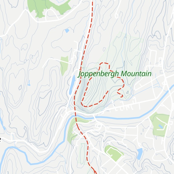
There's a trail called Joppenbergh Mountain Loop leading to the summit.
By elevation Joppenbergh Mountain is
# 1 out of 1 in Joppenbergh Mountain
By prominence Joppenbergh Mountain is
# 1 out of 1 in Joppenbergh Mountain # 62 out of 123 in Ulster County
We use GPS information embedded into the photo when it is available.
3D mountains overlay
Adjust mountain panorama to perfectly match your photos because recorded by camera photo position might be imprecise.
Move tool
Rotate tool
Zoom
More customization
Choose which peak labels should make into the final photo and what photo title should be.
Next
Photo Location
Satellitte
Flat map
Relief map
Latitude
Longitude
Altitude
OR
Latitude
°'''
Longitude
°'''
Apply
Register Peak
Peak Name
Latitude
Longitude
Altitude
Register
Teleport
PeakVisor
This 3D model of Sagarmatha National Park in Nepal was made using the PeakVisor app topographic data. The mobile app features higher precision models worldwide, more topographic details, and works offline. Download PeakVisor maps today.
Download OBJ model
PeakVisor
The download should start shortly. If you find it useful please consider supporting the PeakVisor app.
PeakVisor for iOS and Android
Be a superhero of outdoor navigation with state-of-the-art 3D maps and mountain identification in the palm of your hand!