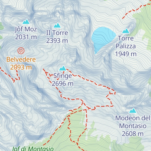
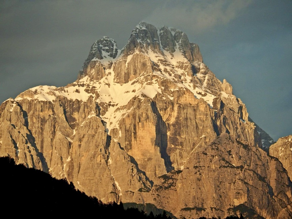
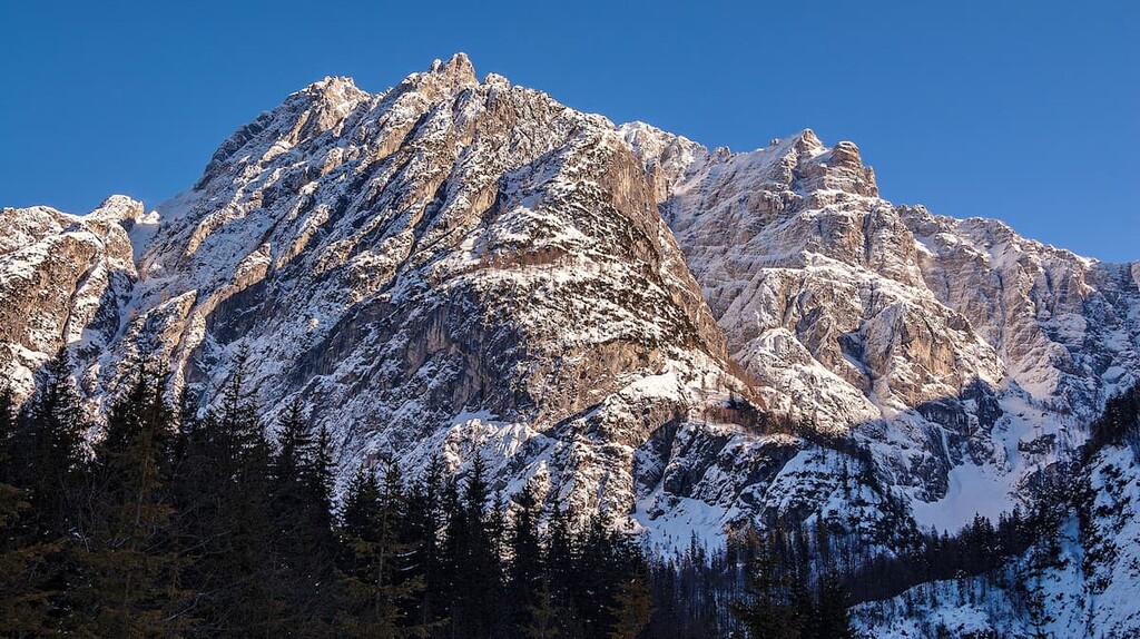
The Jôf di Montasio (Italian, Friulian: Jôf dal Montâs, Slovene: Montaž, German: Montasch) is a mountain located in the Province of Udine, in the Friuli-Venezia Giulia region of northeastern Italy.
With its elevation of 2,752 metres (9,029 ft), it is the second highest mountain of the Julian Alps, surpassed only by Triglav. The Julian Alps are part of the Southern Limestone Alps System.
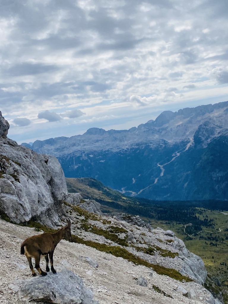
There's a demading hiking trail (T3) called Via Normale al Montasio – scala Pipan leading to the summit. Jôf di Montasio / Il Montâs / Špik nad Policami / Montasch is one of the 24 peaks along the multi-day Vertikala SPDT.
The nearest mountain hut is Bivacco Adriano Suringar located 442m/1 449ft W of the summit.
By elevation Jôf di Montasio / Il Montâs / Špik nad Policami / Montasch is
# 4 out of 2055 in Friuli Venezia Giulia # 2 out of 1536 in the Julian Alps and Prealps
By prominence Jôf di Montasio / Il Montâs / Špik nad Policami / Montasch is
# 32 out of 60693 in the Alps # 2 out of 2055 in Friuli Venezia Giulia # 22 out of 42694 in Italy # 2 out of 1536 in the Julian Alps and Prealps
We use GPS information embedded into the photo when it is available.
3D mountains overlay
Adjust mountain panorama to perfectly match your photos because recorded by camera photo position might be imprecise.
Move tool
Rotate tool
Zoom
More customization
Choose which peak labels should make into the final photo and what photo title should be.
Next
Photo Location
Satellitte
Flat map
Relief map
Latitude
Longitude
Altitude
OR
Latitude
°'''
Longitude
°'''
Apply
Register Peak
Peak Name
Latitude
Longitude
Altitude
Register
Teleport
PeakVisor
This 3D model of Sagarmatha National Park in Nepal was made using the PeakVisor app topographic data. The mobile app features higher precision models worldwide, more topographic details, and works offline. Download PeakVisor maps today.
Download OBJ model
PeakVisor
The download should start shortly. If you find it useful please consider supporting the PeakVisor app.
PeakVisor for iOS and Android
Be a superhero of outdoor navigation with state-of-the-art 3D maps and mountain identification in the palm of your hand!


.jpg)