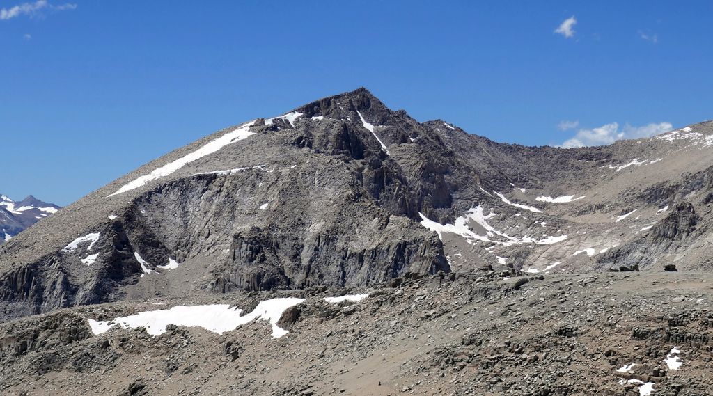
Joe Devel Peak is a 13,327-foot-elevation (4,062 meter) mountain summit located just west of the crest of the Sierra Nevada mountain range in Tulare County, California. Set in Sequoia National Park, it is situated 4.35 miles (7.0 km) south of Mount Whitney, 1.5 miles (2.4 km) southeast of Mount Chamberlin, and 0.87 mile south of Mount Pickering, the nearest higher neighbor. Joe Devel Peak ranks as the 88th-highest summit in California, and the southernmost 4,000-meter peak in the contiguous United States. Topographic relief is significant as the southwest aspect rises over 3,300 feet above Rock Creek in approximately two miles. The Pacific Crest Trail traverses to the south and west of the mountain, providing an approach option. This mountain's name was proposed by Owen L. Williams of the Sierra Club in 1937, and officially adopted by the U.S. Board on Geographic Names, to commemorate Joseph Devel, one of the members of the Wheeler Survey who made the first ascent of this summit on September 20, 1875.
By elevation Joe Devel Peak is
# 97 out of 7926 in California # 40 out of 120 in Sequoia National Park # 46 out of 349 in Tulare County # 90 out of 2492 in the Sierra Nevada
We use GPS information embedded into the photo when it is available.
3D mountains overlay
Adjust mountain panorama to perfectly match your photos because recorded by camera photo position might be imprecise.
Move tool
Rotate tool
Zoom
More customization
Choose which peak labels should make into the final photo and what photo title should be.
Next
Photo Location
Satellitte
Flat map
Relief map
Latitude
Longitude
Altitude
OR
Latitude
°'''
Longitude
°'''
Apply
Register Peak
Peak Name
Latitude
Longitude
Altitude
Register
Teleport
PeakVisor
This 3D model of Sagarmatha National Park in Nepal was made using the PeakVisor app topographic data. The mobile app features higher precision models worldwide, more topographic details, and works offline. Download PeakVisor maps today.
Download OBJ model
PeakVisor
The download should start shortly. If you find it useful please consider supporting the PeakVisor app.
PeakVisor for iOS and Android
Be a superhero of outdoor navigation with state-of-the-art 3D maps and mountain identification in the palm of your hand!