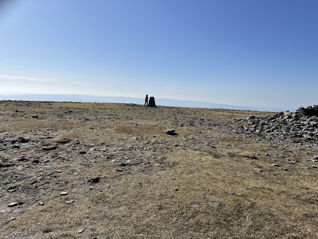
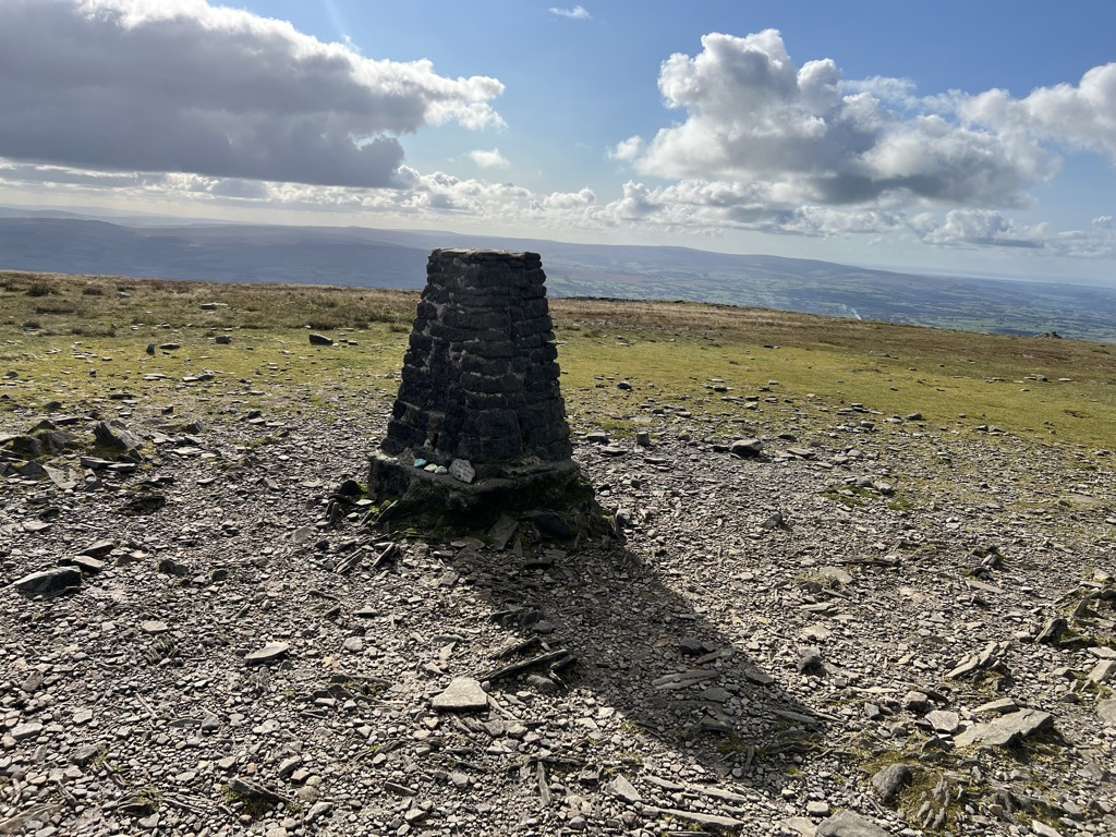
Ingleborough (723 m or 2,372 ft) is the second-highest mountain in the Yorkshire Dales, England. It is one of the Yorkshire Three Peaks (the other two being Whernside and Pen-y-ghent), and is frequently climbed as part of the Three Peaks walk. A large part of Ingleborough is designated as a Site of Special Scientific Interest and National Nature Reserve and is the home of a new joint project, Wild Ingleborough, with aims to improve the landscape for wildlife and people.
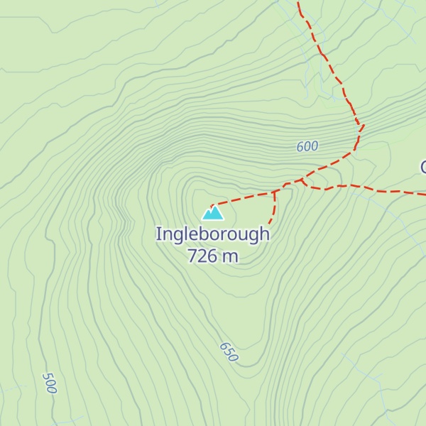
There's a trail leading to the summit.
By elevation Ingleborough is
# 2 out of 786 in Yorkshire Dales National Park # 2 out of 1664 in North Yorkshire
By prominence Ingleborough is
# 11 out of 12948 in the England Hills # 1 out of 786 in Yorkshire Dales National Park # 11 out of 13057 in England # 1 out of 1664 in North Yorkshire
We use GPS information embedded into the photo when it is available.
3D mountains overlay
Adjust mountain panorama to perfectly match your photos because recorded by camera photo position might be imprecise.
Move tool
Rotate tool
Zoom
More customization
Choose which peak labels should make into the final photo and what photo title should be.
Next
Photo Location
Satellitte
Flat map
Relief map
Latitude
Longitude
Altitude
OR
Latitude
°'''
Longitude
°'''
Apply
Register Peak
Peak Name
Latitude
Longitude
Altitude
Register
Teleport
PeakVisor
This 3D model of Sagarmatha National Park in Nepal was made using the PeakVisor app topographic data. The mobile app features higher precision models worldwide, more topographic details, and works offline. Download PeakVisor maps today.
Download OBJ model
PeakVisor
The download should start shortly. If you find it useful please consider supporting the PeakVisor app.
PeakVisor for iOS and Android
Be a superhero of outdoor navigation with state-of-the-art 3D maps and mountain identification in the palm of your hand!