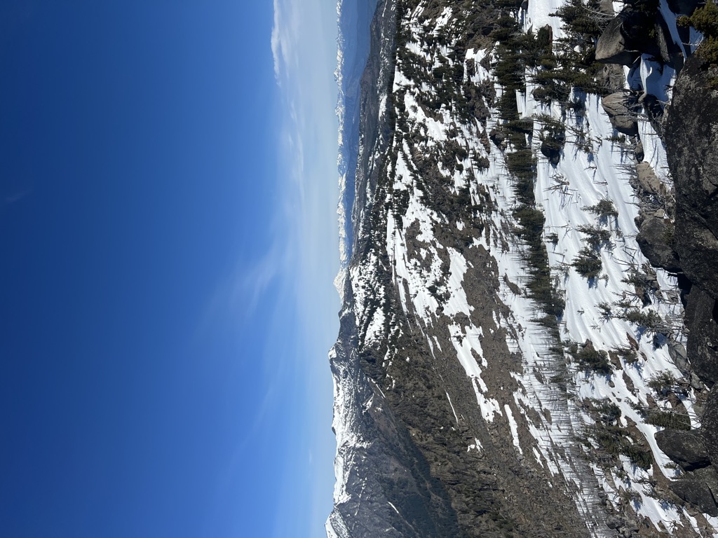
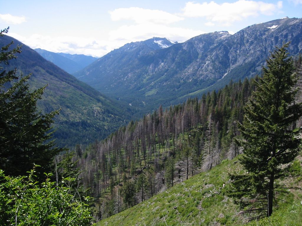
Icicle Ridge is a mountain ridge located in the eastern border of the Alpine Lakes Wilderness, in the Washington state, United States. Several trails lead to Icicle Ridge which borders several prominent mountains, peaks, and lakes. Icicle Ridge is located at the western edge of the city of Leavenworth on land managed by the Okanogan–Wenatchee National Forest.
Icicle Ridge got its name from the river, which name comes from the Indian word na-sik-elt, meaning narrow canyon. According to Albert H. Sylvester, a topographer and Forest Service surveyor for many years, "Place the letter n at the beginning of icicle and the letter t at its end, and you practically have the Indian word."
We use GPS information embedded into the photo when it is available.
3D mountains overlay
Adjust mountain panorama to perfectly match your photos because recorded by camera photo position might be imprecise.
Move tool
Rotate tool
Zoom
More customization
Choose which peak labels should make into the final photo and what photo title should be.
Next
Photo Location
Satellitte
Flat map
Relief map
Latitude
Longitude
Altitude
OR
Latitude
°'''
Longitude
°'''
Apply
Register Peak
Peak Name
Latitude
Longitude
Altitude
Register
Teleport
PeakVisor
This 3D model of Sagarmatha National Park in Nepal was made using the PeakVisor app topographic data. The mobile app features higher precision models worldwide, more topographic details, and works offline. Download PeakVisor maps today.
Download OBJ model
PeakVisor
The download should start shortly. If you find it useful please consider supporting the PeakVisor app.
PeakVisor for iOS and Android
Be a superhero of outdoor navigation with state-of-the-art 3D maps and mountain identification in the palm of your hand!