Huntersfield Mountain is a mountain located in the Catskill Mountains of New York north-northwest of Ashland. Ashland Pinnacle is located east, and Tower Mountain is located south-southeast of Huntersfield Mountain. It is the highest point in Schoharie County and it is ranked 9 of 62 on the list of New York County High Points.
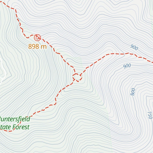
There's a hiking trail (T1) called Former Long Path Route (Red) leading to the summit.
By elevation Huntersfield Mountain is
# 1 out of 1 in Huntersfield State Forest # 25 out of 95 in Greene County # 1 out of 61 in Schoharie County # 52 out of 416 in the Catskill Mountains
By prominence Huntersfield Mountain is
# 1 out of 1 in Huntersfield State Forest # 6 out of 95 in Greene County # 1 out of 61 in Schoharie County # 39 out of 3825 in New York # 9 out of 416 in the Catskill Mountains # 18 out of 8514 in the Appalachian Plateaus
We use GPS information embedded into the photo when it is available.
3D mountains overlay
Adjust mountain panorama to perfectly match your photos because recorded by camera photo position might be imprecise.
Move tool
Rotate tool
Zoom
More customization
Choose which peak labels should make into the final photo and what photo title should be.
Next
Photo Location
Satellitte
Flat map
Relief map
Latitude
Longitude
Altitude
OR
Latitude
°'''
Longitude
°'''
Apply
Register Peak
Peak Name
Latitude
Longitude
Altitude
Register
Teleport
PeakVisor
This 3D model of Sagarmatha National Park in Nepal was made using the PeakVisor app topographic data. The mobile app features higher precision models worldwide, more topographic details, and works offline. Download PeakVisor maps today.
Download OBJ model
PeakVisor
The download should start shortly. If you find it useful please consider supporting the PeakVisor app.
PeakVisor for iOS and Android
Be a superhero of outdoor navigation with state-of-the-art 3D maps and mountain identification in the palm of your hand!