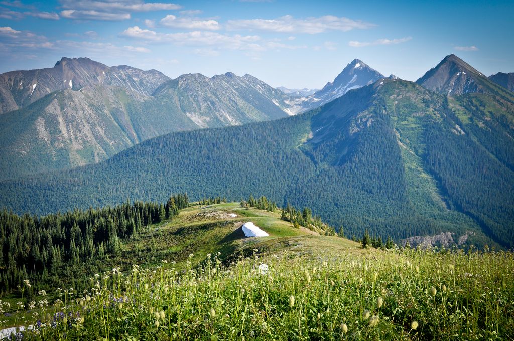
The Hozameen Range (spelled Hozomeen Range in the United States) is a mountain range in southwestern British Columbia and northern Washington, straddling the division between the Coast and Interior regions of that province. It is a subrange of the North Cascades and is neighboured on the east by the Okanagan Range and on the northwest by the unofficially-named Coquihalla Range, which lies between that river and the Fraser. In the northwest part of the range is the one named subrange, the Bedded Range.
There are differences of opinion about the location and boundaries of the subranges of the northern Cascades, although early geologists and topographers had a fundamental agreement on the topic. The Hozomeen Range was seen as bounded by the Skagit River on the west and extending east to the Pasayten River (east of the Sumallo River) and Coquihalla River. The core of the Hozomeen Range under this definition marks the divide between streams in British Columbia that flow west to the Fraser River and those that flow via longer routes via the Nicola River, Thompson River, and Similkameen River tributaries into the Fraser or Okanagan River. This early nomenclature defined the Hozomeen Range as extending south of the US border and including the peaks of the Hozomeen Mountain area.
BCGNIS defines the range as extending south from the Coquihalla River and west of the Tulameen River and Pasayten River, and bounded to the west by the Skagit Range.
Peakbagger.com defines the Hozameen Range as bounded on the west by the Skagit River, the Coquihalla River to the northwest, the Tulameen River to the northeast, and the Similkameen River to the east.
By elevation Hozameen Range is
# 34 out of 36 in E.C. Manning Provincial Park # 82 out of 95 in the Hozameen Range
By prominence Hozameen Range is
# 35 out of 36 in E.C. Manning Provincial Park # 93 out of 95 in the Hozameen Range
We use GPS information embedded into the photo when it is available.
3D mountains overlay
Adjust mountain panorama to perfectly match your photos because recorded by camera photo position might be imprecise.
Move tool
Rotate tool
Zoom
More customization
Choose which peak labels should make into the final photo and what photo title should be.
Next
Photo Location
Satellitte
Flat map
Relief map
Latitude
Longitude
Altitude
OR
Latitude
°'''
Longitude
°'''
Apply
Register Peak
Peak Name
Latitude
Longitude
Altitude
Register
Teleport
PeakVisor
This 3D model of Sagarmatha National Park in Nepal was made using the PeakVisor app topographic data. The mobile app features higher precision models worldwide, more topographic details, and works offline. Download PeakVisor maps today.
Download OBJ model
PeakVisor
The download should start shortly. If you find it useful please consider supporting the PeakVisor app.
PeakVisor for iOS and Android
Be a superhero of outdoor navigation with state-of-the-art 3D maps and mountain identification in the palm of your hand!