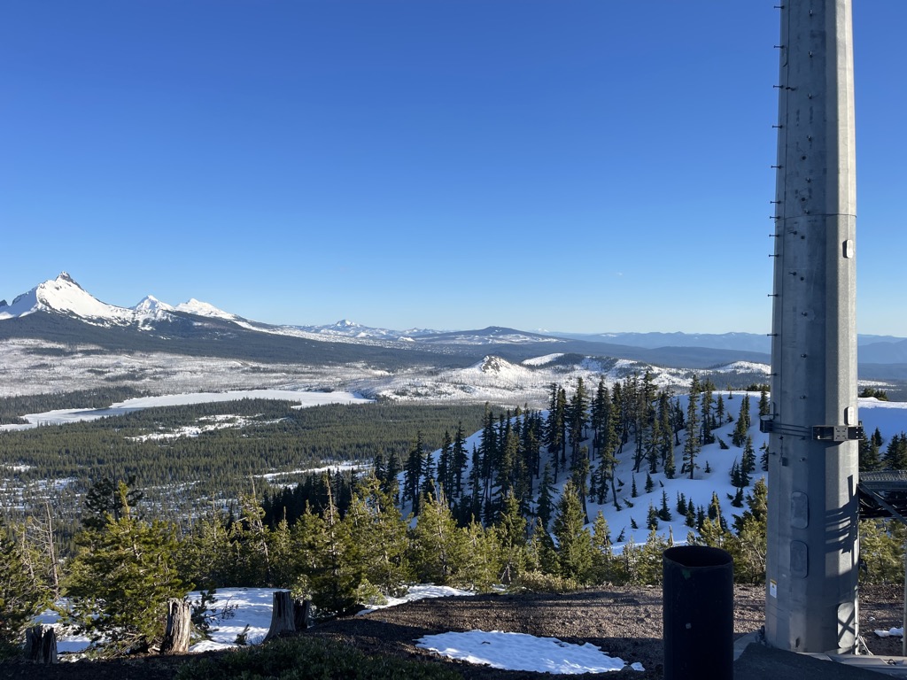
Hoodoo Butte is a cinder cone butte in the Cascade Range of northern Oregon, located near Santiam Pass. Immediately to the east lies Hayrick Butte, a prime example of a tuya; the two mountains' names were likely mistaken for each other, but stuck with them over time. The area has been subjected to a number of historic fires. Hoodoo is sometimes considered a subfeature of the Mount Washington shield volcano, and it forms part of the Sisters Reach, which extends from South Cinder Peak to Crane Prairie Reservoir, running for 56 miles (90 km). This region has a high vent density, with many mafic (rich in magnesium and iron) volcanoes of Pleistocene to Holocene age, such as Hoodoo. While Hoodoo has an intact summit crater that was blocked from erosion by glaciers, it has an irregular topography, giving it an open appearance.
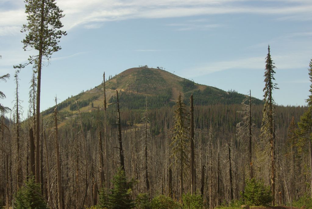
A ski area, also named Hoodoo, is located on the northwest through northeast flanks of the cone, and includes five chairlifts. Other recreational activities popular in the area include snowshoeing and snowmobiling during the winter, and fishing, hiking, camping, mountain biking, windsurfing, and water skiing popular during the summer season.
There's a trail called Over Easy leading to the summit.
By elevation Hoodoo Butte is
# 28 out of 160 in Linn County
By prominence Hoodoo Butte is
# 53 out of 315 in Willamette National Forest # 31 out of 160 in Linn County
We use GPS information embedded into the photo when it is available.
3D mountains overlay
Adjust mountain panorama to perfectly match your photos because recorded by camera photo position might be imprecise.
Move tool
Rotate tool
Zoom
More customization
Choose which peak labels should make into the final photo and what photo title should be.
Next
Photo Location
Satellitte
Flat map
Relief map
Latitude
Longitude
Altitude
OR
Latitude
°'''
Longitude
°'''
Apply
Register Peak
Peak Name
Latitude
Longitude
Altitude
Register
Teleport
PeakVisor
This 3D model of Sagarmatha National Park in Nepal was made using the PeakVisor app topographic data. The mobile app features higher precision models worldwide, more topographic details, and works offline. Download PeakVisor maps today.
Download OBJ model
PeakVisor
The download should start shortly. If you find it useful please consider supporting the PeakVisor app.
PeakVisor for iOS and Android
Be a superhero of outdoor navigation with state-of-the-art 3D maps and mountain identification in the palm of your hand!