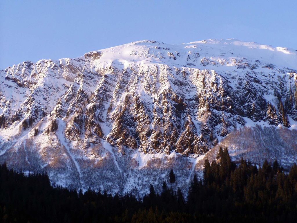
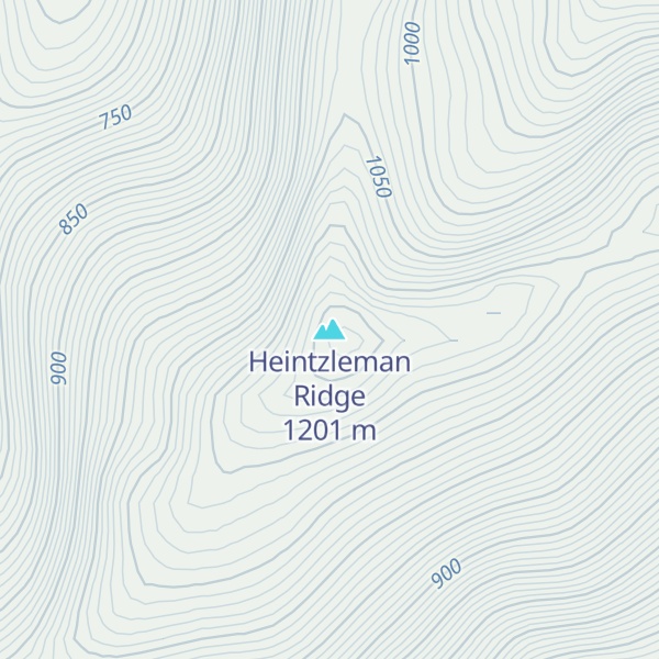
Heintzleman Ridge is a 3,940-foot (1,201 m) elevation mountain ridge located in the Boundary Ranges, in the U.S. state of Alaska. This seven-miles-long ridge, which trends southwest to northeast from Gastineau Channel to Nugget Mountain, is situated 8 mi (13 km) north of Juneau, on land managed by Tongass National Forest. Juneau International Airport lies below the southwest tip of this ridge. Although modest in elevation, relief is significant since the ridge rises from sea-level in less than two miles, and it's set between Lemon Creek and Mendenhall Valley. Its nearest higher neighbor is Bullard Mountain, 2.75 mi (4 km) to the north. Heintzleman Ridge is named for B. Frank Heintzleman (1888–1965), an American forester who was appointed Governor of Alaska Territory, from 1953 through 1957. In a way, he chose his own memorial, once casually remarking that, if anything were ever named for him, he hoped it would be "that ridge" which he admired for its beauty and splendor.
This geographic feature's name was officially adopted in 1966 by the United States Board on Geographic Names.
We use GPS information embedded into the photo when it is available.
3D mountains overlay
Adjust mountain panorama to perfectly match your photos because recorded by camera photo position might be imprecise.
Move tool
Rotate tool
Zoom
More customization
Choose which peak labels should make into the final photo and what photo title should be.
Next
Photo Location
Satellitte
Flat map
Relief map
Latitude
Longitude
Altitude
OR
Latitude
°'''
Longitude
°'''
Apply
Register Peak
Peak Name
Latitude
Longitude
Altitude
Register
Teleport
PeakVisor
This 3D model of Sagarmatha National Park in Nepal was made using the PeakVisor app topographic data. The mobile app features higher precision models worldwide, more topographic details, and works offline. Download PeakVisor maps today.
Download OBJ model
PeakVisor
The download should start shortly. If you find it useful please consider supporting the PeakVisor app.
PeakVisor for iOS and Android
Be a superhero of outdoor navigation with state-of-the-art 3D maps and mountain identification in the palm of your hand!