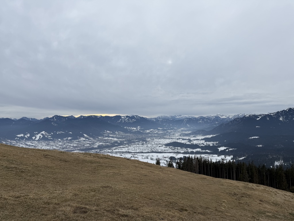
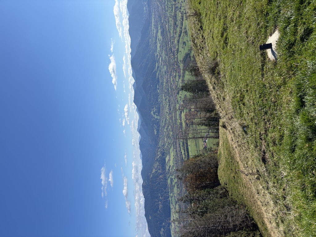
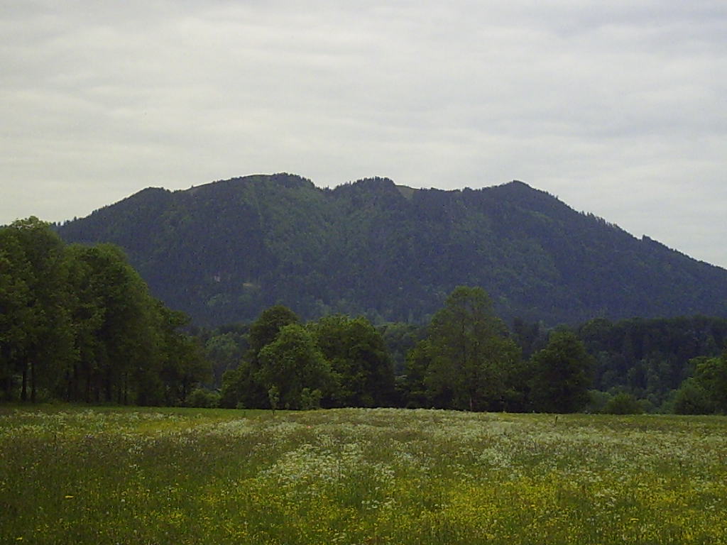
Heiglkopf, also spelled Heigelkopf, (1218 m) is a mountain near the village of Wackersberg in Upper Bavaria, Germany, close to the Austrian border. Between 1933 and 1945 it was known as Hitler-Berg.
In April 1933, the title of honorary citizen of Wackersberg was awarded by the municipal council to Adolf Hitler, Chancellor of Germany, and the mountain was renamed to his honor. A 10-metre-high black iron swastika, illuminated at night by torches, was erected at the top in June 1933. After the defeat of Germany in 1945 the swastika was destroyed and the former name restored.
There's a hiking trail (T1) leading to the summit.
The nearest mountain hut is Waldherralm located 1 361m/4 467ft ESE of the summit.
We use GPS information embedded into the photo when it is available.
3D mountains overlay
Adjust mountain panorama to perfectly match your photos because recorded by camera photo position might be imprecise.
Move tool
Rotate tool
Zoom
More customization
Choose which peak labels should make into the final photo and what photo title should be.
Next
Photo Location
Satellitte
Flat map
Relief map
Latitude
Longitude
Altitude
OR
Latitude
°'''
Longitude
°'''
Apply
Register Peak
Peak Name
Latitude
Longitude
Altitude
Register
Teleport
PeakVisor
This 3D model of Sagarmatha National Park in Nepal was made using the PeakVisor app topographic data. The mobile app features higher precision models worldwide, more topographic details, and works offline. Download PeakVisor maps today.
Download OBJ model
PeakVisor
The download should start shortly. If you find it useful please consider supporting the PeakVisor app.
PeakVisor for iOS and Android
Be a superhero of outdoor navigation with state-of-the-art 3D maps and mountain identification in the palm of your hand!