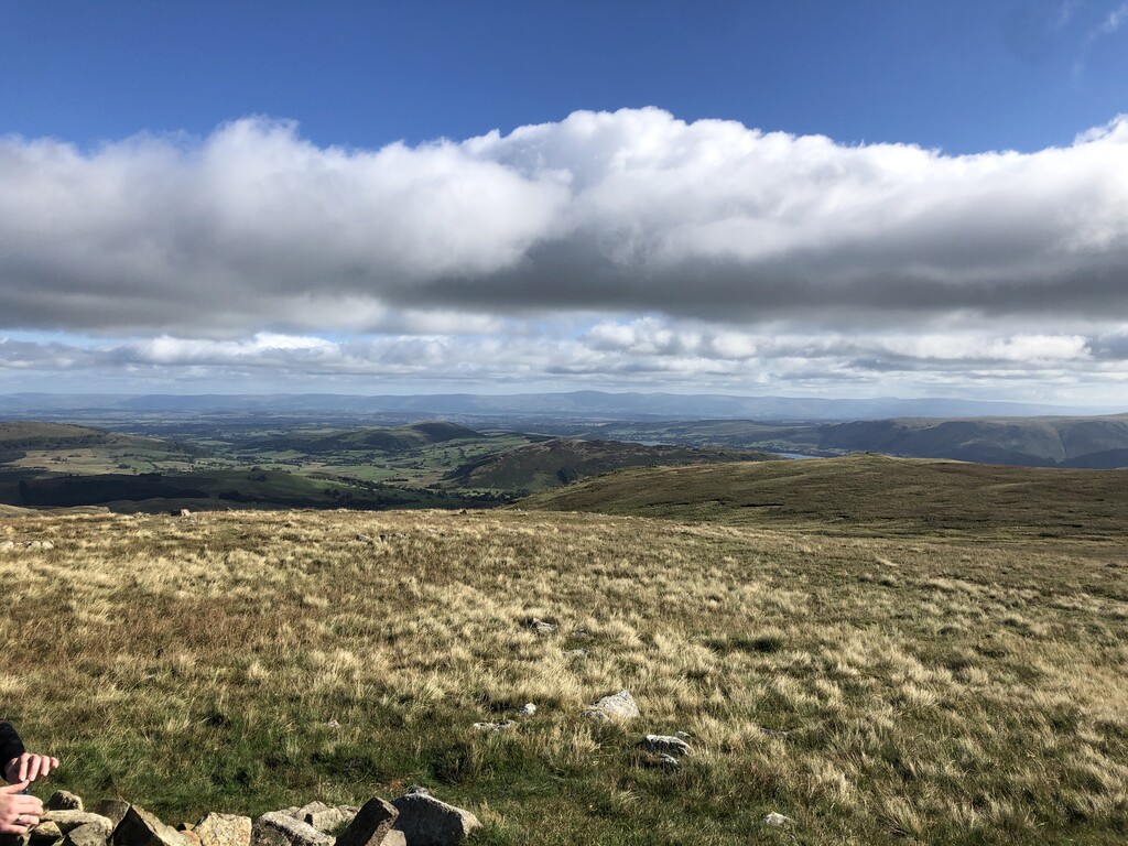
Hart Side (the hill side frequented by harts) is a subsidiary top on one of the east ridges of Stybarrow Dodd, which is a mountain (or fell) in the English Lake District, west of Ullswater on the main Helvellyn ridge in the Eastern Fells. With a height of 2,480 feet (760 m) Hart Side rises above the col separating it from Green Side by 75 feet (23 m).
Some guide-book writers have treated Hart Side as a distinct fell, and have devoted a separate chapter to it.
The same writers have treated the lower Watermillock Common as part of (or associated with) the fell. Other writers have simply focussed on routes to and between the many individual tops here and throughout Lakeland.
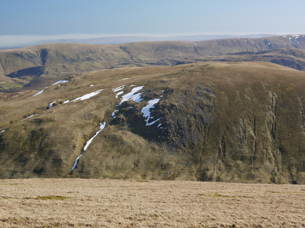
Hart Side and Green Side are the two ends of a ridge which is composed of andesite rock, a sequence of lava flows from ancient volcanoes. A lead vein in the Green Side end of the ridge was exploited by the most successful lead mine in the Lake District until it closed in 1962.
There's a trail leading to the summit.
By elevation Hart Side is
# 91 out of 864 in Lake District National Park # 99 out of 1704 in Cumbria # 91 out of 838 in The English Lake District WHS
We use GPS information embedded into the photo when it is available.
3D mountains overlay
Adjust mountain panorama to perfectly match your photos because recorded by camera photo position might be imprecise.
Move tool
Rotate tool
Zoom
More customization
Choose which peak labels should make into the final photo and what photo title should be.
Next
Photo Location
Satellitte
Flat map
Relief map
Latitude
Longitude
Altitude
OR
Latitude
°'''
Longitude
°'''
Apply
Register Peak
Peak Name
Latitude
Longitude
Altitude
Register
Teleport
PeakVisor
This 3D model of Sagarmatha National Park in Nepal was made using the PeakVisor app topographic data. The mobile app features higher precision models worldwide, more topographic details, and works offline. Download PeakVisor maps today.
Download OBJ model
PeakVisor
The download should start shortly. If you find it useful please consider supporting the PeakVisor app.
PeakVisor for iOS and Android
Be a superhero of outdoor navigation with state-of-the-art 3D maps and mountain identification in the palm of your hand!