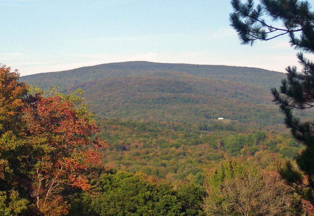
Halcott Mountain is one of the Catskill Mountains of the U.S. state of New York. It is mostly located in Greene County, with some of its lower slopes in Delaware and Ulster counties. Its exact summit elevation has not been officially determined, but the highest contour line on the mountain is 3,520 feet (1,070 m). It is one of the peaks on the divide between the Delaware and Hudson watersheds.
As one of the Catskill High Peaks above 3,500 feet (1,100 m) in elevation, a successful ascent of Halcott is required for peakbaggers seeking to join the Catskill Mountain 3500 Club. It is on public land, part of the Catskill Park Forest Preserve, but has no trail. Hikers bushwhack through the relatively open woods to sign the canister at the summit and prove their climb. It is considered one of the easiest of the 13 trailless High Peaks.
By elevation Halcott Mountain is
# 1 out of 3 in Halcott Mountain Wild Forest # 21 out of 95 in Greene County # 39 out of 173 in Catskill Park # 42 out of 416 in the Catskill Mountains
By prominence Halcott Mountain is
# 1 out of 3 in Halcott Mountain Wild Forest # 22 out of 95 in Greene County # 36 out of 173 in Catskill Park # 54 out of 416 in the Catskill Mountains
We use GPS information embedded into the photo when it is available.
3D mountains overlay
Adjust mountain panorama to perfectly match your photos because recorded by camera photo position might be imprecise.
Move tool
Rotate tool
Zoom
More customization
Choose which peak labels should make into the final photo and what photo title should be.
Next
Photo Location
Satellitte
Flat map
Relief map
Latitude
Longitude
Altitude
OR
Latitude
°'''
Longitude
°'''
Apply
Register Peak
Peak Name
Latitude
Longitude
Altitude
Register
Teleport
PeakVisor
This 3D model of Sagarmatha National Park in Nepal was made using the PeakVisor app topographic data. The mobile app features higher precision models worldwide, more topographic details, and works offline. Download PeakVisor maps today.
Download OBJ model
PeakVisor
The download should start shortly. If you find it useful please consider supporting the PeakVisor app.
PeakVisor for iOS and Android
Be a superhero of outdoor navigation with state-of-the-art 3D maps and mountain identification in the palm of your hand!