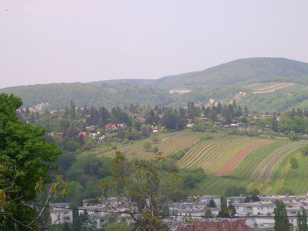
The Hackenberg is a hill in the suburb of Sievering in the 19th district of Vienna, Döbling, Austria. It is 306 metres tall.
Hackenberg is covered in sand and gravel. The Arbesbach flows around the hill's north-eastern flank, while the Krottenbach flows around its south-western flank, although both rivers have been enclosed in canals in this area. The hill extends as far as the Krim (an area in Unterdöbling) in the west.
The Hackenberg is first mentioned in a contract of purchase drawn up for Rudolph I of Bohemia, which refers to it as “hakkenperge”. The name derives from the old field measurement Haken; older theories that Hackenberg derives from the personal name Hacko have since been disproved.
In the Middle Ages, the village of Chlaintzing stood on the south-western slope of the Hackenberg. It was surrounded by vineyards but was later abandoned. Today, the Hackenberg is covered with small settlements, but a few vineyards have also survived.
Just below the peak of the Hackenberg, on the side facing the Krottenbachstraße, is a fresh water catchment for the city of Vienna. The Sieveringer Friedhof (cemetery) was established on the southwestern side of the hill in 1883.
We use GPS information embedded into the photo when it is available.
3D mountains overlay
Adjust mountain panorama to perfectly match your photos because recorded by camera photo position might be imprecise.
Move tool
Rotate tool
Zoom
More customization
Choose which peak labels should make into the final photo and what photo title should be.
Next
Photo Location
Satellitte
Flat map
Relief map
Latitude
Longitude
Altitude
OR
Latitude
°'''
Longitude
°'''
Apply
Register Peak
Peak Name
Latitude
Longitude
Altitude
Register
Teleport
PeakVisor
This 3D model of Sagarmatha National Park in Nepal was made using the PeakVisor app topographic data. The mobile app features higher precision models worldwide, more topographic details, and works offline. Download PeakVisor maps today.
Download OBJ model
PeakVisor
The download should start shortly. If you find it useful please consider supporting the PeakVisor app.
PeakVisor for iOS and Android
Be a superhero of outdoor navigation with state-of-the-art 3D maps and mountain identification in the palm of your hand!