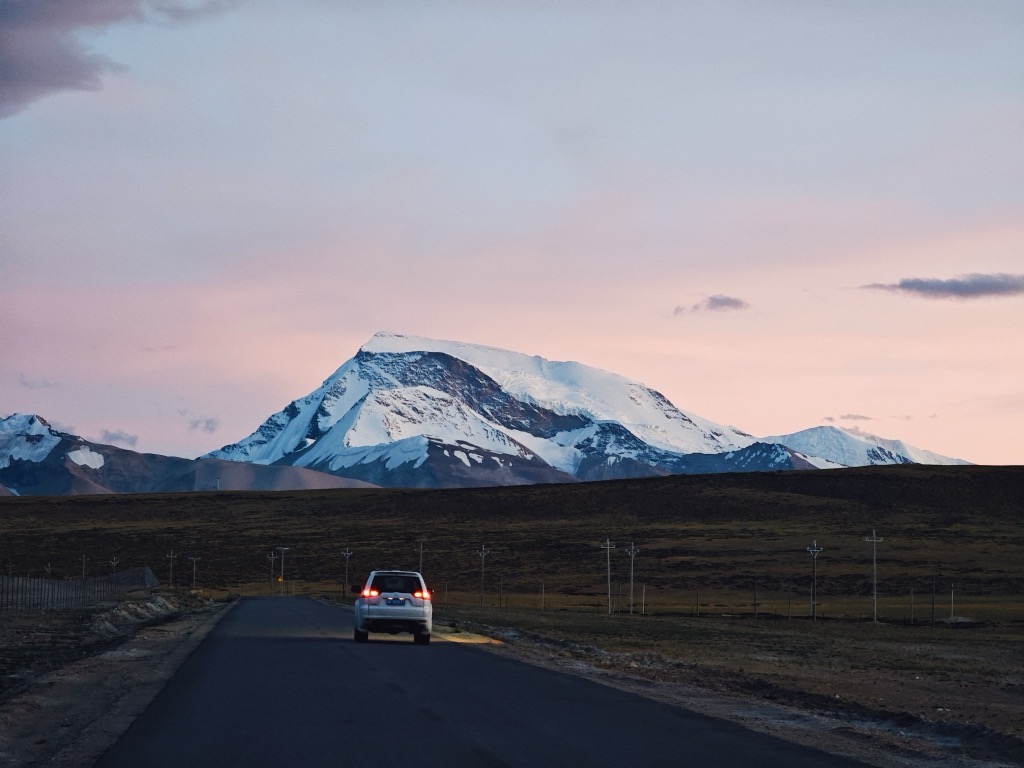
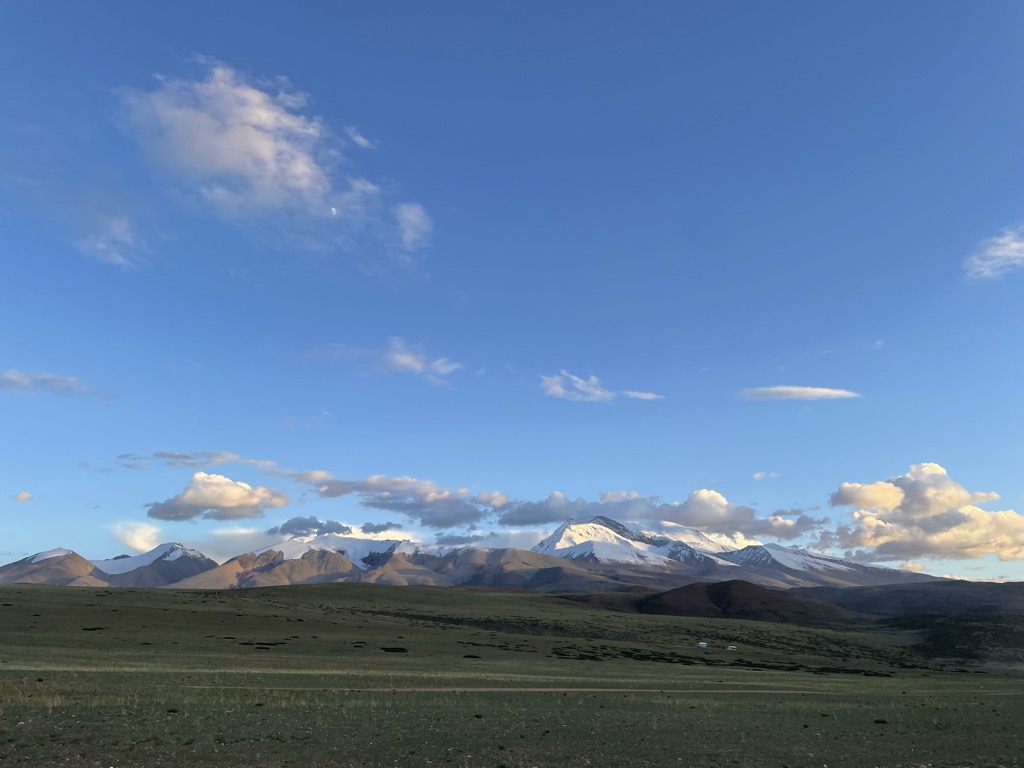
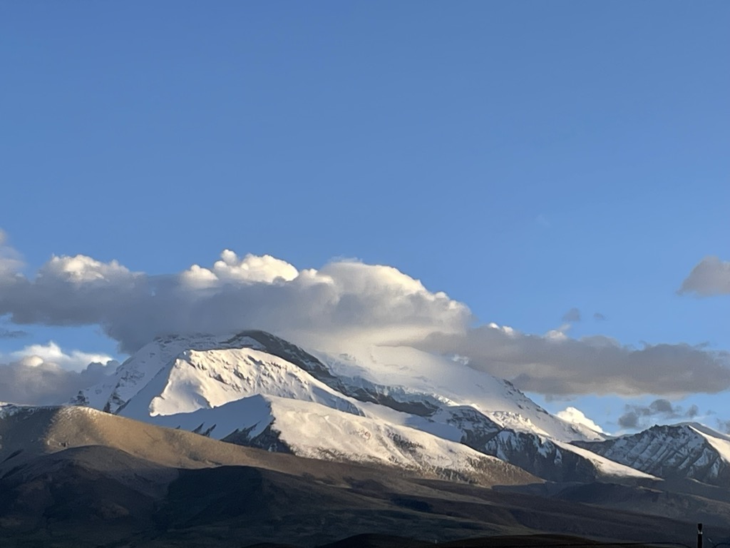
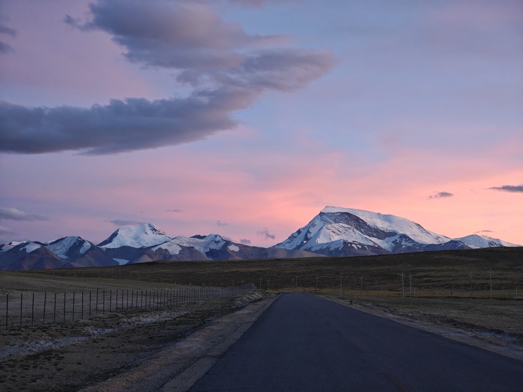
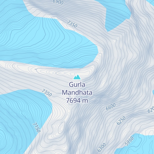
Gurla Mandhata, also Naimona'nyi or Namu Nani, is the highest peak of the Nalakankar Himal, a small subrange of the Himalaya. It lies in the northwest corner of Nepal. It is the 34th-highest peak in the world (using a 500-metre prominence cutoff). It is also notable for being well within the interior of the Tibetan Plateau (most peaks of similar height – except notably Shishapangma, the world's 14th-highest peak – lie nearer to or outside the edge of the Plateau) and relatively far away from other peaks with heights greater than 7,500 metres. It sits roughly across Lake Manasarovar from the sacred peak of Mount Kailash.
By elevation Gurla Mandhata is
# 16 out of 936 in Tibet # 1 out of 28 in Burang County # 24 out of 12241 in China # 40 out of 3458 in the Himalayas
By prominence Gurla Mandhata is
# 6 out of 936 in Tibet # 1 out of 28 in Burang County # 17 out of 12241 in China # 11 out of 3458 in the Himalayas
We use GPS information embedded into the photo when it is available.
3D mountains overlay
Adjust mountain panorama to perfectly match your photos because recorded by camera photo position might be imprecise.
Move tool
Rotate tool
Zoom
More customization
Choose which peak labels should make into the final photo and what photo title should be.
Next
Photo Location
Satellitte
Flat map
Relief map
Latitude
Longitude
Altitude
OR
Latitude
°'''
Longitude
°'''
Apply
Register Peak
Peak Name
Latitude
Longitude
Altitude
Register
Teleport
PeakVisor
This 3D model of Sagarmatha National Park in Nepal was made using the PeakVisor app topographic data. The mobile app features higher precision models worldwide, more topographic details, and works offline. Download PeakVisor maps today.
Download OBJ model
PeakVisor
The download should start shortly. If you find it useful please consider supporting the PeakVisor app.
PeakVisor for iOS and Android
Be a superhero of outdoor navigation with state-of-the-art 3D maps and mountain identification in the palm of your hand!