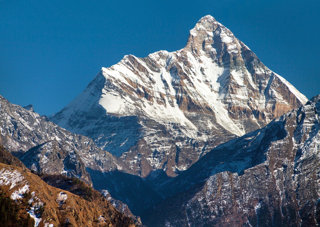
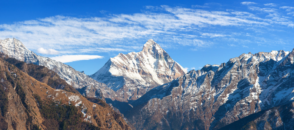
Nanda Devi is the second-highest mountain in India, after Kangchenjunga, and the highest located entirely within the country. (Kangchenjunga is on the border of India and Nepal.) Nanda Devi is the 23rd-highest peak in the world.
Nanda Devi was considered the highest mountain in the world before computations in 1808 proved Dhaulagiri to be higher. It was also the highest mountain in India until 1975, when Sikkim, an independent kingdom until 1948 and a protectorate of India thereafter, became a state of India. It is located in the Chamoli district of Uttarakhand, between the Rishiganga valley on the west and the Goriganga valley on the east.
The peak, whose name means "Bliss-Giving Goddess", is regarded as the patron goddess of the Garhwal and Kumaon Himalayas. In acknowledgment of its religious significance and for the protection of its fragile ecosystem, the Government of India declared the peak as well as the circle of high mountains surrounding it—the Nanda Devi sanctuary—off-limits to both locals and climbers in 1983. The surrounding Nanda Devi National Park was declared a UNESCO World Heritage Site in 1988.
By elevation Nanda Devi is
# 1 out of 20 in Nanda Devi National Park # 2 out of 13857 in India # 1 out of 105 in Joshimath # 27 out of 3458 in the Himalayas
By prominence Nanda Devi is
# 1 out of 20 in Nanda Devi National Park # 2 out of 13857 in India # 1 out of 105 in Joshimath # 5 out of 3458 in the Himalayas
We use GPS information embedded into the photo when it is available.
3D mountains overlay
Adjust mountain panorama to perfectly match your photos because recorded by camera photo position might be imprecise.
Move tool
Rotate tool
Zoom
More customization
Choose which peak labels should make into the final photo and what photo title should be.
Next
Photo Location
Satellitte
Flat map
Relief map
Latitude
Longitude
Altitude
OR
Latitude
°'''
Longitude
°'''
Apply
Register Peak
Peak Name
Latitude
Longitude
Altitude
Register
Teleport
PeakVisor
This 3D model of Sagarmatha National Park in Nepal was made using the PeakVisor app topographic data. The mobile app features higher precision models worldwide, more topographic details, and works offline. Download PeakVisor maps today.
Download OBJ model
PeakVisor
The download should start shortly. If you find it useful please consider supporting the PeakVisor app.
PeakVisor for iOS and Android
Be a superhero of outdoor navigation with state-of-the-art 3D maps and mountain identification in the palm of your hand!