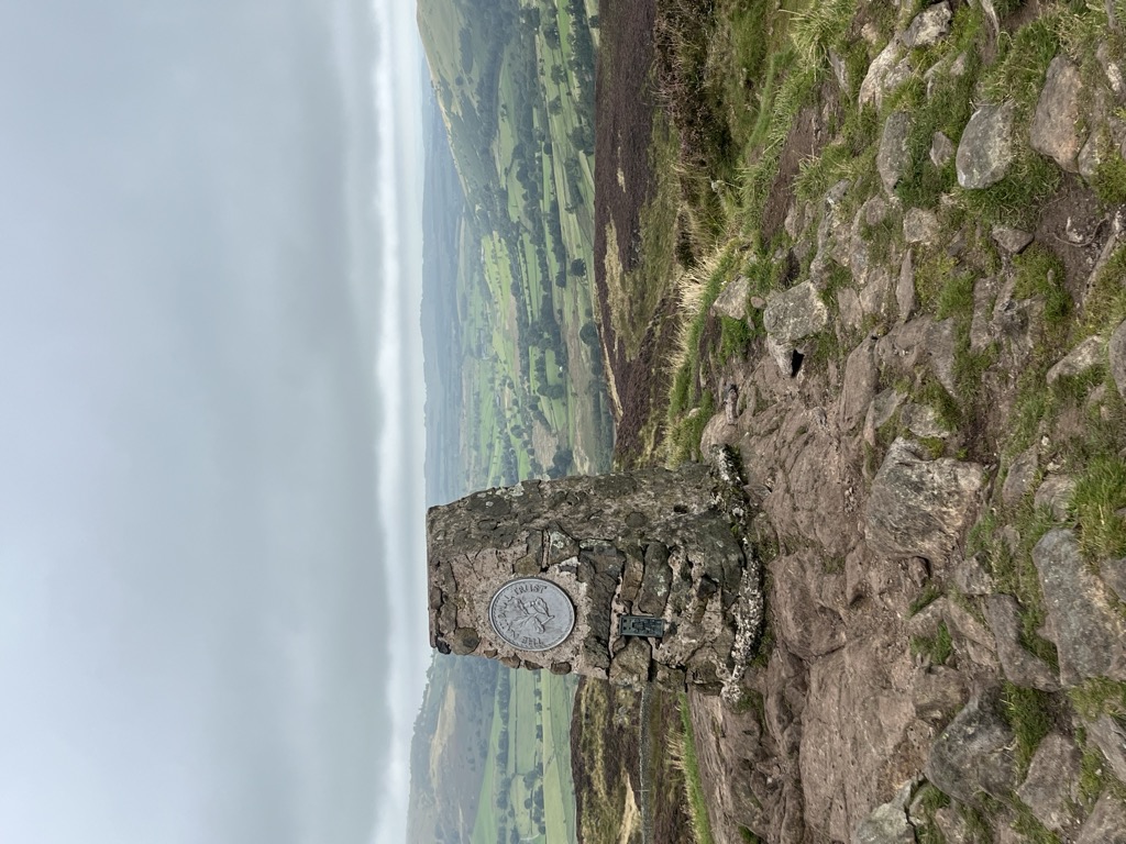
Gowbarrow Fell (Windy hill) is a low fell in the English Lake District. It is an outlier of the Eastern Fells, standing to the north of Ullswater, bounded on one side by Aira Beck with its waterfall Aira Force. The waterfall is a popular attraction for visitors to the area.
In previous centuries the fell was part of a medieval hunting-park, Gowbarrow Park, which belonged to the lords of Greystoke. The fell, along with 750 acres of the park, were bought by the National Trust in 1906.
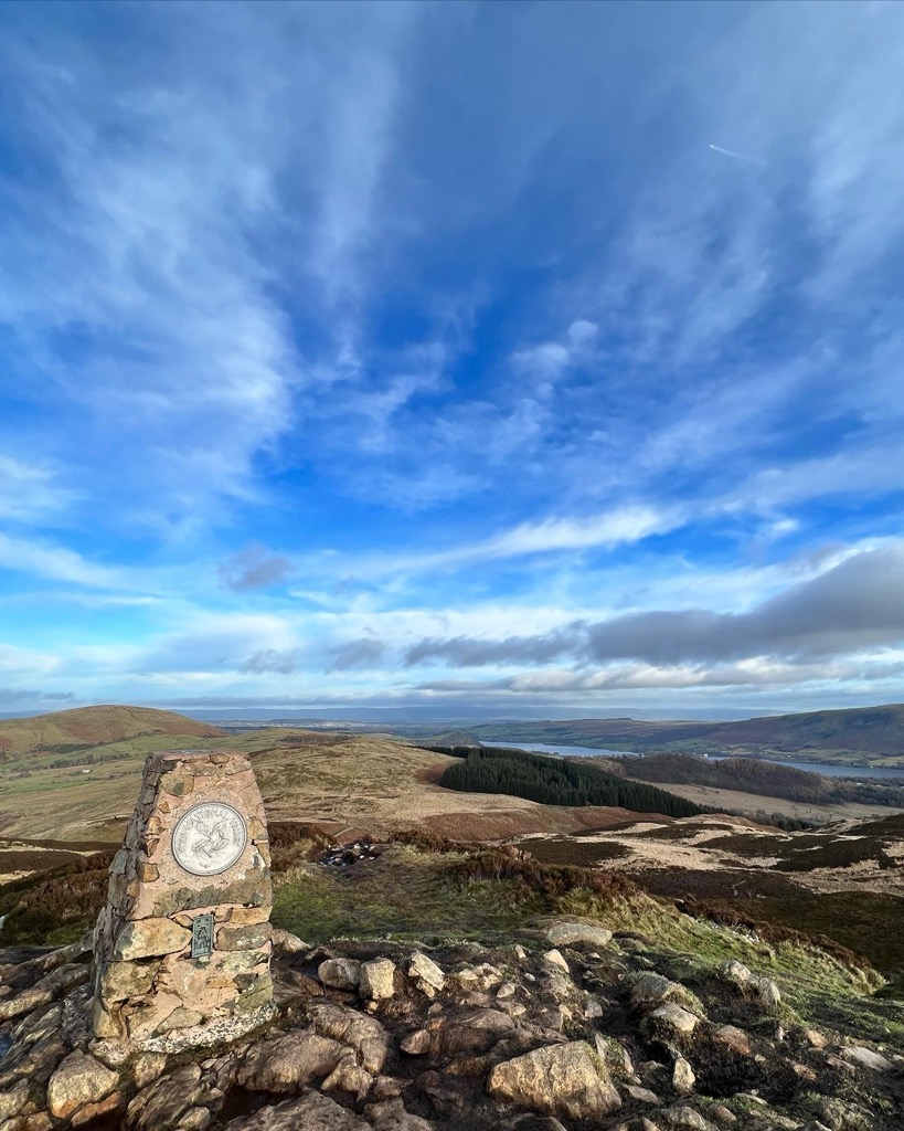
There's a trail leading to the summit.
By prominence Gowbarrow Fell (Wainwright) is
# 96 out of 864 in Lake District National Park # 95 out of 838 in The English Lake District WHS
We use GPS information embedded into the photo when it is available.
3D mountains overlay
Adjust mountain panorama to perfectly match your photos because recorded by camera photo position might be imprecise.
Move tool
Rotate tool
Zoom
More customization
Choose which peak labels should make into the final photo and what photo title should be.
Next
Photo Location
Satellitte
Flat map
Relief map
Latitude
Longitude
Altitude
OR
Latitude
°'''
Longitude
°'''
Apply
Register Peak
Peak Name
Latitude
Longitude
Altitude
Register
Teleport
PeakVisor
This 3D model of Sagarmatha National Park in Nepal was made using the PeakVisor app topographic data. The mobile app features higher precision models worldwide, more topographic details, and works offline. Download PeakVisor maps today.
Download OBJ model
PeakVisor
The download should start shortly. If you find it useful please consider supporting the PeakVisor app.
PeakVisor for iOS and Android
Be a superhero of outdoor navigation with state-of-the-art 3D maps and mountain identification in the palm of your hand!