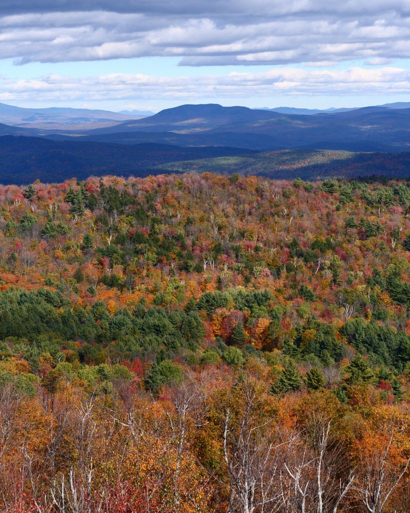
Gile Mountain in Windsor County, Vermont, sits along the border between the towns of Norwich and Sharon; its summit is in Norwich. The mountain reaches a height of 1,873 ft (571 m) above sea level. Relatively unimposing considering its height, the true summit cannot easily be seen from the surrounding territory, despite the prominent fire tower atop its summit. The tower is easily reached by taking Turnpike Road from Norwich to the parking area near its terminus. From there, the Gile Mountain trail leads west 0.7 miles (1.1 km) to the summit, passing under power lines. The summit area contains an old ranger cabin, since converted to a shelter-type structure (though camping is not allowed), and the tower itself. From the top views are expansive, and on a clear day one can see Mount Ascutney to the south, the Green Mountains from Killington Peak to Mount Mansfield to the west, Mount Cardigan, Smarts Mountain, and Croydon Peak to the east, and Mount Cube and Mount Moosilauke to the northeast with many of the White Mountains beyond. Dartmouth College is also visible, about 7 miles (11 km) distant.
We use GPS information embedded into the photo when it is available.
3D mountains overlay
Adjust mountain panorama to perfectly match your photos because recorded by camera photo position might be imprecise.
Move tool
Rotate tool
Zoom
More customization
Choose which peak labels should make into the final photo and what photo title should be.
Next
Photo Location
Satellitte
Flat map
Relief map
Latitude
Longitude
Altitude
OR
Latitude
°'''
Longitude
°'''
Apply
Register Peak
Peak Name
Latitude
Longitude
Altitude
Register
Teleport
PeakVisor
This 3D model of Sagarmatha National Park in Nepal was made using the PeakVisor app topographic data. The mobile app features higher precision models worldwide, more topographic details, and works offline. Download PeakVisor maps today.
Download OBJ model
PeakVisor
The download should start shortly. If you find it useful please consider supporting the PeakVisor app.
PeakVisor for iOS and Android
Be a superhero of outdoor navigation with state-of-the-art 3D maps and mountain identification in the palm of your hand!