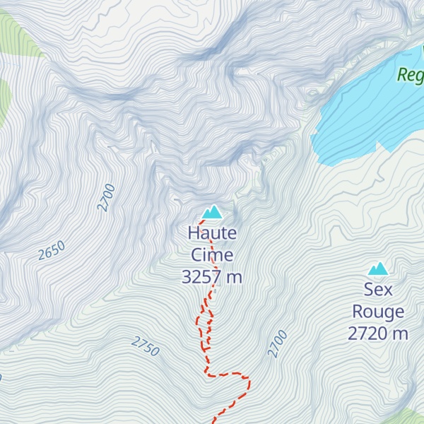
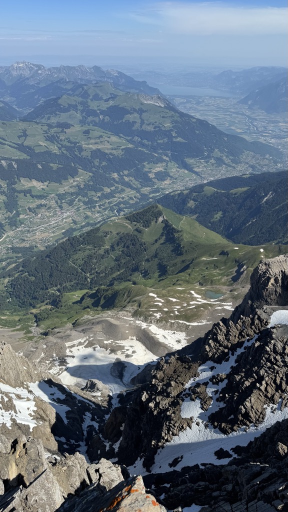
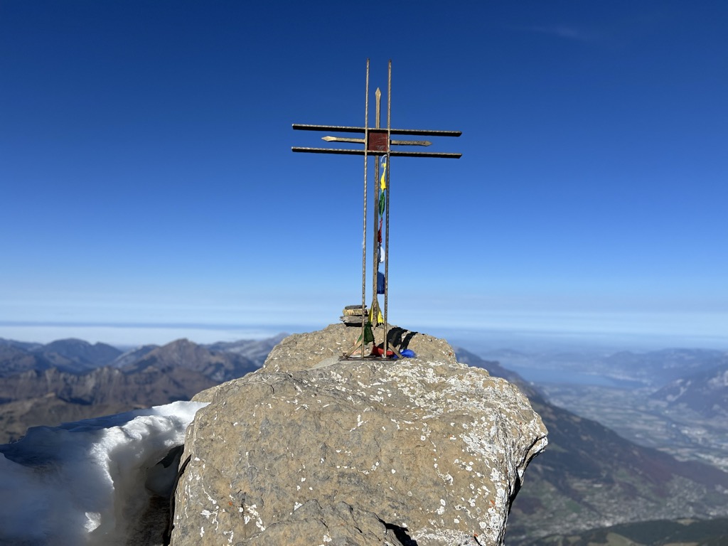
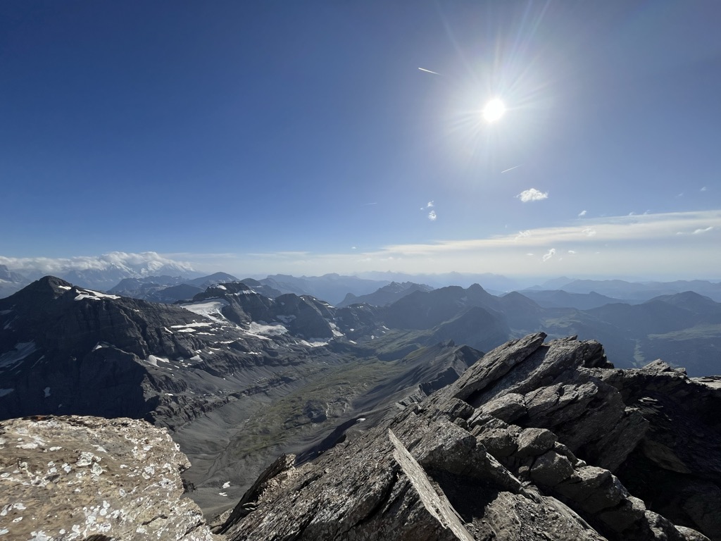
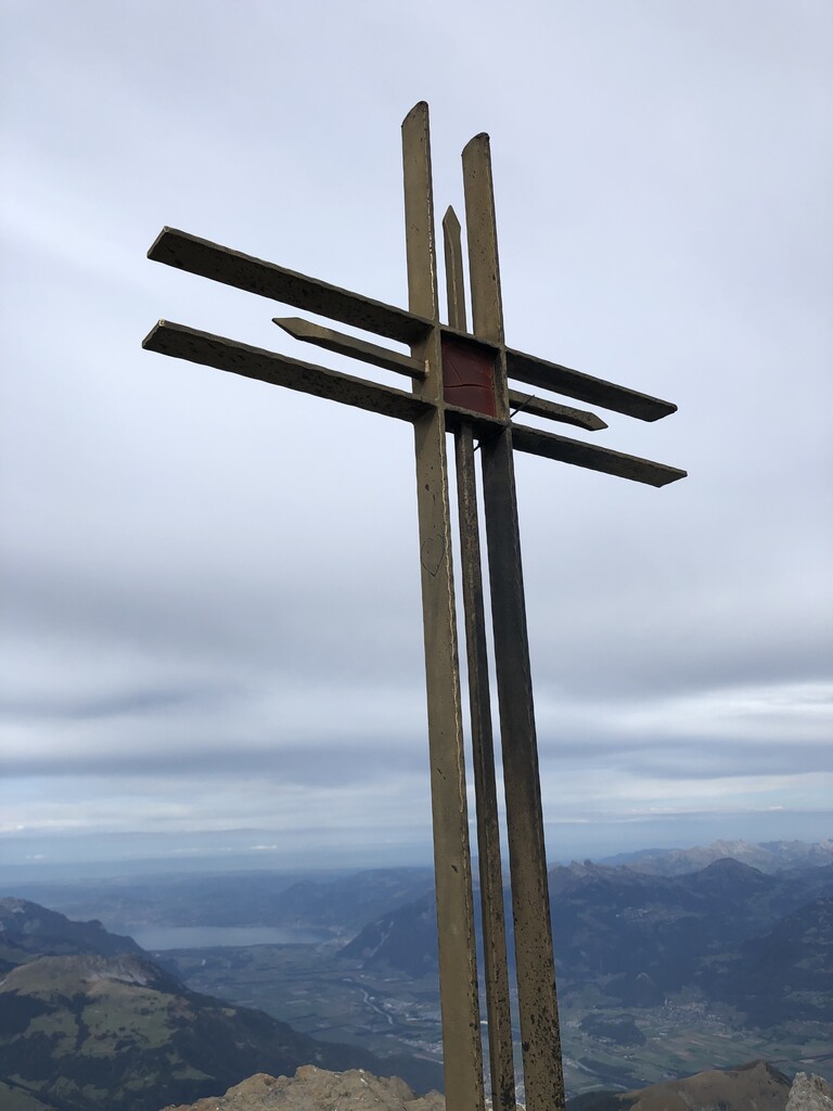
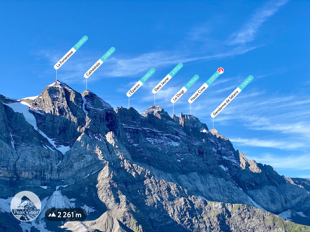
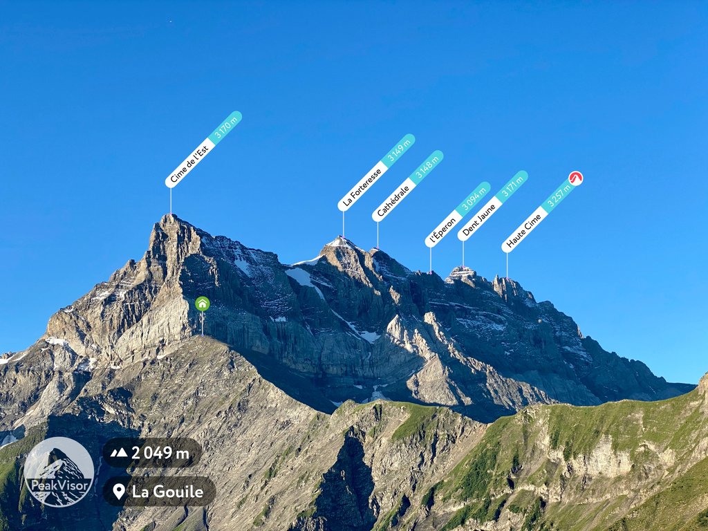
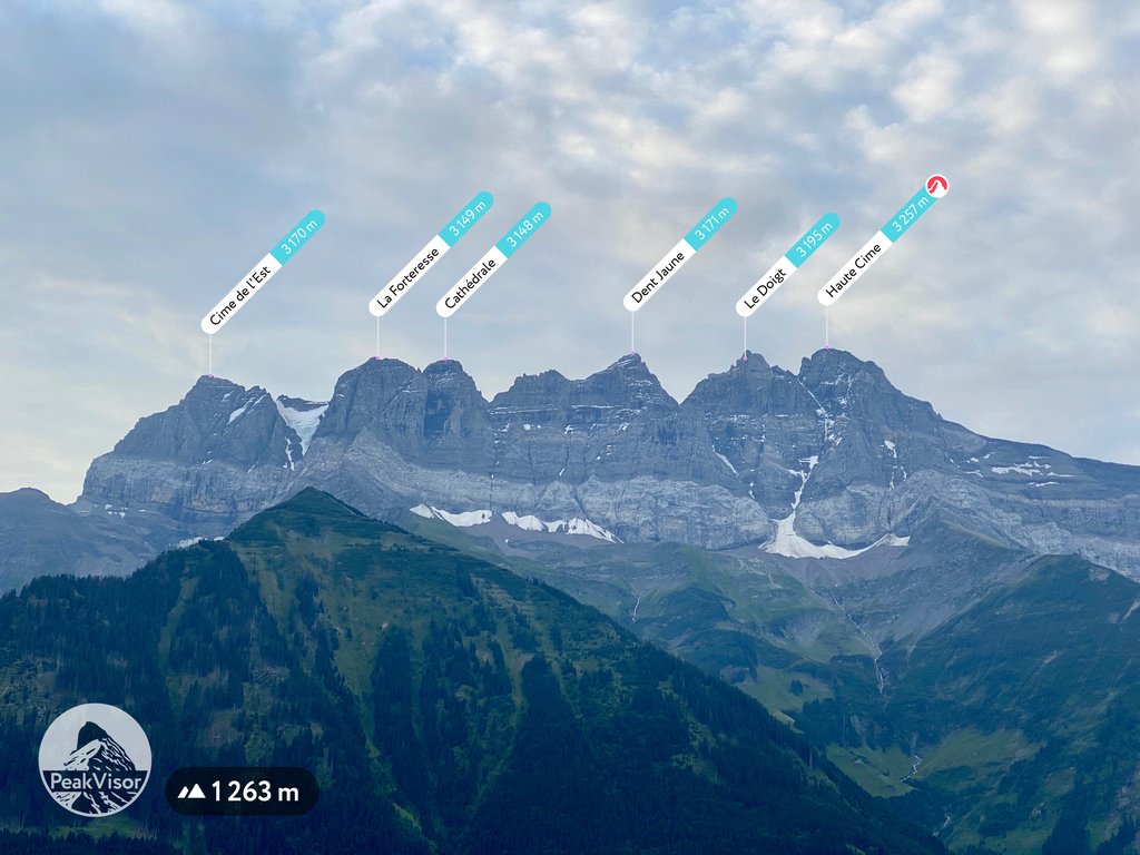
The Dents du Midi (French pronunciation: [dɑ̃ dy midi]; French: "teeth of the south") are a three-kilometre-long mountain range in the Chablais Alps in the canton of Valais, Switzerland. Overlooking the Val d'Illiez and the Rhône valley to the south, they face the Lac de Salanfe, an artificial reservoir, and are part of the geological ensemble of the Giffre massif. Their seven peaks are, from north-east to south-west: the Cime de l'Est, the Forteresse, the Cathédrale, the Éperon, the Dent Jaune, the Doigts and the Haute Cime. They are mainly composed of limestone rock, with gritty limestone rock in the upper parts.
The Dents du Midi are accessible from Champéry, les Cerniers, Mex, Salvan and Vérossaz, but they have only been climbed since the end of the 18th century. A footpath around the Dents du Midi has existed since 1975. The mountain range represents a local symbol and is often used to promote the Val d'Illiez and various brands and associations in the region.
There's an alpine trail (T4) leading to the summit.
The nearest mountain hut is Refuge des Dents du Midi located 1 269m/4 163ft ENE of the summit.
By elevation Haute Cime is
# 1 out of 117 in Monthey # 1 out of 106 in Saint-Maurice # 1 out of 1273 in the Savoy Prealps
By prominence Haute Cime is
# 19 out of 60693 in the Alps # 3 out of 1787 in Valais/Wallis # 1 out of 117 in Monthey # 1 out of 106 in Saint-Maurice # 5 out of 10817 in Switzerland # 1 out of 1273 in the Savoy Prealps
We use GPS information embedded into the photo when it is available.
3D mountains overlay
Adjust mountain panorama to perfectly match your photos because recorded by camera photo position might be imprecise.
Move tool
Rotate tool
Zoom
More customization
Choose which peak labels should make into the final photo and what photo title should be.
Next
Photo Location
Satellitte
Flat map
Relief map
Latitude
Longitude
Altitude
OR
Latitude
°'''
Longitude
°'''
Apply
Register Peak
Peak Name
Latitude
Longitude
Altitude
Register
Teleport
PeakVisor
This 3D model of Sagarmatha National Park in Nepal was made using the PeakVisor app topographic data. The mobile app features higher precision models worldwide, more topographic details, and works offline. Download PeakVisor maps today.
Download OBJ model
PeakVisor
The download should start shortly. If you find it useful please consider supporting the PeakVisor app.
PeakVisor for iOS and Android
Be a superhero of outdoor navigation with state-of-the-art 3D maps and mountain identification in the palm of your hand!


.jpg)
.jpg)