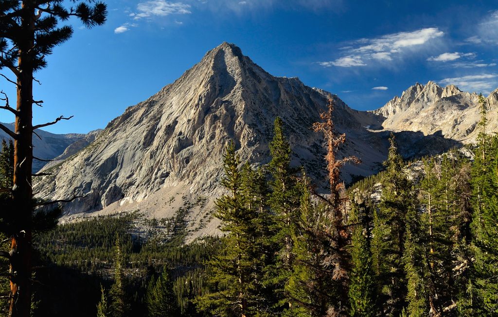
East Vidette is a 12,356-foot-elevation (3,766-meter) mountain summit located two miles west of the crest of the Sierra Nevada mountain range, in the northeast corner of Tulare County in northern California. It is situated in Kings Canyon National Park, 12.5 miles (20.1 km) west-southwest of the community of Independence, and one mile southwest of the Kearsarge Pinnacles. Topographic relief is significant as the north aspect rises nearly 2,800 feet (850 meters) above Vidette Meadow in less than one mile. The John Muir Trail traverses below the north and east aspects of this remote peak. The first ascent of the summit was made in 1910 by a Sierra Club party via the East Ridge.
We use GPS information embedded into the photo when it is available.
3D mountains overlay
Adjust mountain panorama to perfectly match your photos because recorded by camera photo position might be imprecise.
Move tool
Rotate tool
Zoom
More customization
Choose which peak labels should make into the final photo and what photo title should be.
Next
Photo Location
Satellitte
Flat map
Relief map
Latitude
Longitude
Altitude
OR
Latitude
°'''
Longitude
°'''
Apply
Register Peak
Peak Name
Latitude
Longitude
Altitude
Register
Teleport
PeakVisor
This 3D model of Sagarmatha National Park in Nepal was made using the PeakVisor app topographic data. The mobile app features higher precision models worldwide, more topographic details, and works offline. Download PeakVisor maps today.
Download OBJ model
PeakVisor
The download should start shortly. If you find it useful please consider supporting the PeakVisor app.
PeakVisor for iOS and Android
Be a superhero of outdoor navigation with state-of-the-art 3D maps and mountain identification in the palm of your hand!