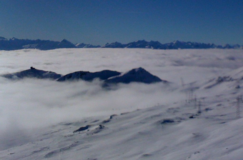
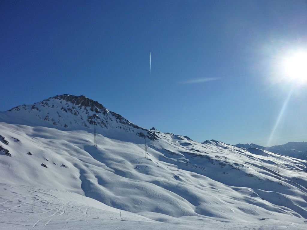
The Crap Masegn is a mountain of the Glarus Alps, located near Flims in the canton of Graubünden, Switzerland. It lies south of the Vorab.
Territorially it divides on the municipal areas of Falera on its eastern face, a narrow southern stripe of Ladir and Ruschein on its western face.
There is a station of an aerial cableway of the same name which is nowhere near this peak but one kilometer southeast, on the nameless junction of the two ridges of Crest Da Tiarms and Crest La Siala. There is a chairlift and a gondola lift ending there as well, all of them belonging to the skiing resort of Flims-Laax-Falera which uses the name of Laax only for winter marketing.
There's a demading hiking trail (T3) leading to the summit.
We use GPS information embedded into the photo when it is available.
3D mountains overlay
Adjust mountain panorama to perfectly match your photos because recorded by camera photo position might be imprecise.
Move tool
Rotate tool
Zoom
More customization
Choose which peak labels should make into the final photo and what photo title should be.
Next
Photo Location
Satellitte
Flat map
Relief map
Latitude
Longitude
Altitude
OR
Latitude
°'''
Longitude
°'''
Apply
Register Peak
Peak Name
Latitude
Longitude
Altitude
Register
Teleport
PeakVisor
This 3D model of Sagarmatha National Park in Nepal was made using the PeakVisor app topographic data. The mobile app features higher precision models worldwide, more topographic details, and works offline. Download PeakVisor maps today.
Download OBJ model
PeakVisor
The download should start shortly. If you find it useful please consider supporting the PeakVisor app.
PeakVisor for iOS and Android
Be a superhero of outdoor navigation with state-of-the-art 3D maps and mountain identification in the palm of your hand!