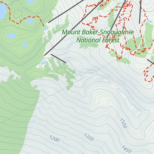
Cowboy Mountain is a 5,853-foot-elevation (1,784 meter) mountain summit located in northeast King County of Washington state. It is situated at Stevens Pass, on land managed by Mount Baker-Snoqualmie National Forest. This mountain is best known for ski runs on its north slopes which are part of the Stevens Pass Ski Area. Cowboy Mountain is part of the Chiwaukum Mountains, which are a subset of the Cascade Range. Its nearest higher neighbor is Big Chief Mountain, 1.9 mi (3.1 km) to the northeast, and the Pacific Crest Trail passes through the saddle between these two mountains. Precipitation runoff from the peak drains into headwaters of the Tye River, which in turn is a tributary of the Skykomish River. The longest railroad tunnel in the United States, the Cascade Tunnel, was bored directly under Cowboy Mountain, as a response to deadly avalanches that threatened trains of the Great Northern Railway. The deadliest avalanche in the history of the United States, the 1910 Wellington avalanche, occurred approximately two miles west of Cowboy Mountain.
We use GPS information embedded into the photo when it is available.
3D mountains overlay
Adjust mountain panorama to perfectly match your photos because recorded by camera photo position might be imprecise.
Move tool
Rotate tool
Zoom
More customization
Choose which peak labels should make into the final photo and what photo title should be.
Next
Photo Location
Satellitte
Flat map
Relief map
Latitude
Longitude
Altitude
OR
Latitude
°'''
Longitude
°'''
Apply
Register Peak
Peak Name
Latitude
Longitude
Altitude
Register
Teleport
PeakVisor
This 3D model of Sagarmatha National Park in Nepal was made using the PeakVisor app topographic data. The mobile app features higher precision models worldwide, more topographic details, and works offline. Download PeakVisor maps today.
Download OBJ model
PeakVisor
The download should start shortly. If you find it useful please consider supporting the PeakVisor app.
PeakVisor for iOS and Android
Be a superhero of outdoor navigation with state-of-the-art 3D maps and mountain identification in the palm of your hand!