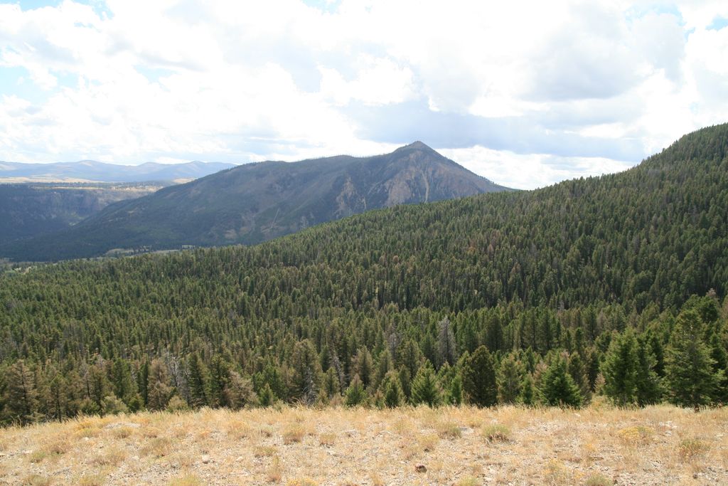
Clagett Butte el. 8,041 feet (2,451 m) is a mountain peak butte in the Gallatin Range in Yellowstone National Park. Clagett Butte is an isolated summit 1.9 miles (3.1 km) west of Mammoth Hot Springs between Clematis Creek and Snow Pass. The Snow Pass trail passes approximately .33 miles (0.53 km) south of the butte.
Clagett Butte was named in 1926 by park photographer Jack Ellis Haynes and then superintendent Horace Albright to honor William H. Clagett (1838–1901), the Montana Territorial Delegate who put forth the Act of Dedication bill in Congress to create Yellowstone National Park. Prior to 1926, the butte had several different names. In 1885, park guide G. L. Henderson called it Temple Mountain. That was the accepted local name for many years. In 1887, members of the Arnold Hague geological survey called it Sentinel Butte and later in 1897, Signal Butte but these names never became official.
By elevation Clagett Butte is
# 86 out of 124 in the Gallatin Range
By prominence Clagett Butte is
# 65 out of 124 in the Gallatin Range # 99 out of 187 in Yellowstone National Park
We use GPS information embedded into the photo when it is available.
3D mountains overlay
Adjust mountain panorama to perfectly match your photos because recorded by camera photo position might be imprecise.
Move tool
Rotate tool
Zoom
More customization
Choose which peak labels should make into the final photo and what photo title should be.
Next
Photo Location
Satellitte
Flat map
Relief map
Latitude
Longitude
Altitude
OR
Latitude
°'''
Longitude
°'''
Apply
Register Peak
Peak Name
Latitude
Longitude
Altitude
Register
Teleport
PeakVisor
This 3D model of Sagarmatha National Park in Nepal was made using the PeakVisor app topographic data. The mobile app features higher precision models worldwide, more topographic details, and works offline. Download PeakVisor maps today.
Download OBJ model
PeakVisor
The download should start shortly. If you find it useful please consider supporting the PeakVisor app.
PeakVisor for iOS and Android
Be a superhero of outdoor navigation with state-of-the-art 3D maps and mountain identification in the palm of your hand!