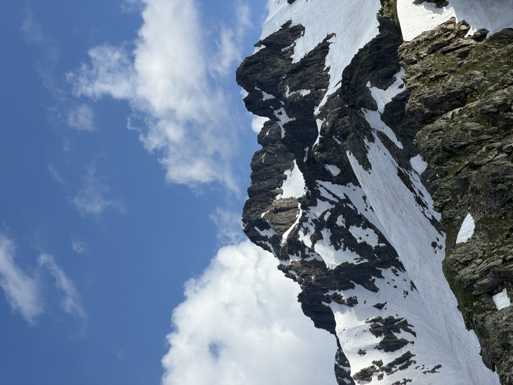
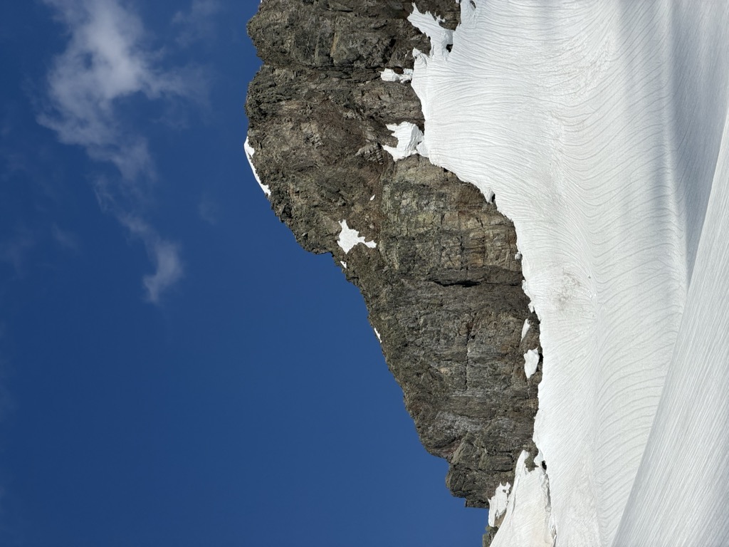
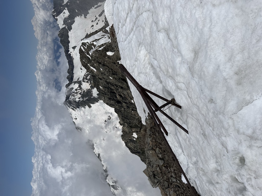
The Chugush (Russian: Чугуш) is the highest mountain in Adygea, Russia, located in the Western Caucasus. Its height is 3,238 metres (10,623 ft). The mountain has 10 glaciers covering an area of 1.2 km2. One of the glaciers feeds the Kisha River flowing towards the Belaya River.
There's a trail leading to the summit.
By elevation Chugush is
# 1 out of 102 in Republic of Adygea # 3 out of 171 in Resort Town of Sochi (municipal formation) # 1 out of 102 in Maykopsky District # 7 out of 151 in Caucasian Biosphere Reserve
By prominence Chugush is
# 2 out of 102 in Republic of Adygea # 2 out of 171 in Resort Town of Sochi (municipal formation) # 2 out of 102 in Maykopsky District # 2 out of 151 in Caucasian Biosphere Reserve # 93 out of 24823 in Russia # 13 out of 4326 in the Greater Caucasus # 16 out of 7939 in the Caucasus
We use GPS information embedded into the photo when it is available.
3D mountains overlay
Adjust mountain panorama to perfectly match your photos because recorded by camera photo position might be imprecise.
Move tool
Rotate tool
Zoom
More customization
Choose which peak labels should make into the final photo and what photo title should be.
Next
Photo Location
Satellitte
Flat map
Relief map
Latitude
Longitude
Altitude
OR
Latitude
°'''
Longitude
°'''
Apply
Register Peak
Peak Name
Latitude
Longitude
Altitude
Register
Teleport
PeakVisor
This 3D model of Sagarmatha National Park in Nepal was made using the PeakVisor app topographic data. The mobile app features higher precision models worldwide, more topographic details, and works offline. Download PeakVisor maps today.
Download OBJ model
PeakVisor
The download should start shortly. If you find it useful please consider supporting the PeakVisor app.
PeakVisor for iOS and Android
Be a superhero of outdoor navigation with state-of-the-art 3D maps and mountain identification in the palm of your hand!