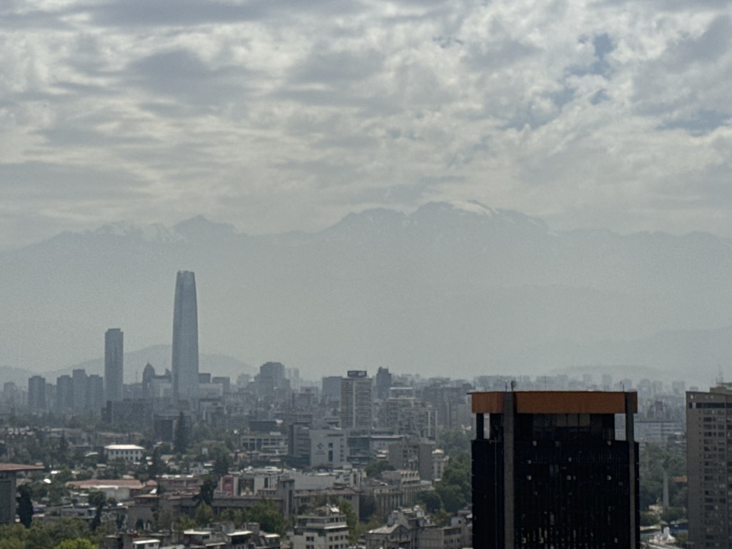
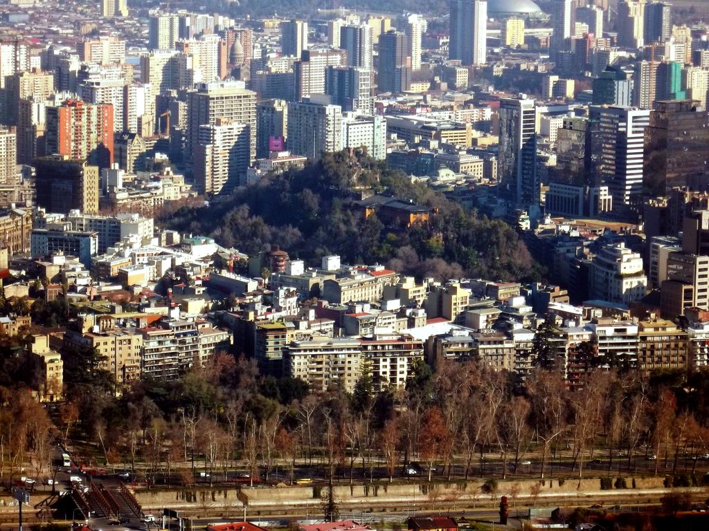
Santa Lucía Hill (Spanish: Cerro Santa Lucía), also known in Mapuche as Huelén Hill (Spanish: Cerro Huelén), is a small hill in the centre of Santiago, Chile. It is situated between Alameda del Libertador Bernardo O'Higgins in the south, Santa Lucía Street in the west and Victoria Subercaseaux on the east. An adjacent metro station is named after it. The hill has an altitude of 629 m and a height of 69 m over the surrounding area. The hill is the remnant of a volcano 15 million years old.
The hill comprises a 65,300 square metre park adorned with ornate facades, stairways and fountains. At the highest point there is a viewpoint popular with tourists visiting the city and meeting point.
There's a trail called Cerro Santa Lucía leading to the summit.
We use GPS information embedded into the photo when it is available.
3D mountains overlay
Adjust mountain panorama to perfectly match your photos because recorded by camera photo position might be imprecise.
Move tool
Rotate tool
Zoom
More customization
Choose which peak labels should make into the final photo and what photo title should be.
Next
Photo Location
Satellitte
Flat map
Relief map
Latitude
Longitude
Altitude
OR
Latitude
°'''
Longitude
°'''
Apply
Register Peak
Peak Name
Latitude
Longitude
Altitude
Register
Teleport
PeakVisor
This 3D model of Sagarmatha National Park in Nepal was made using the PeakVisor app topographic data. The mobile app features higher precision models worldwide, more topographic details, and works offline. Download PeakVisor maps today.
Download OBJ model
PeakVisor
The download should start shortly. If you find it useful please consider supporting the PeakVisor app.
PeakVisor for iOS and Android
Be a superhero of outdoor navigation with state-of-the-art 3D maps and mountain identification in the palm of your hand!


.jpg)


