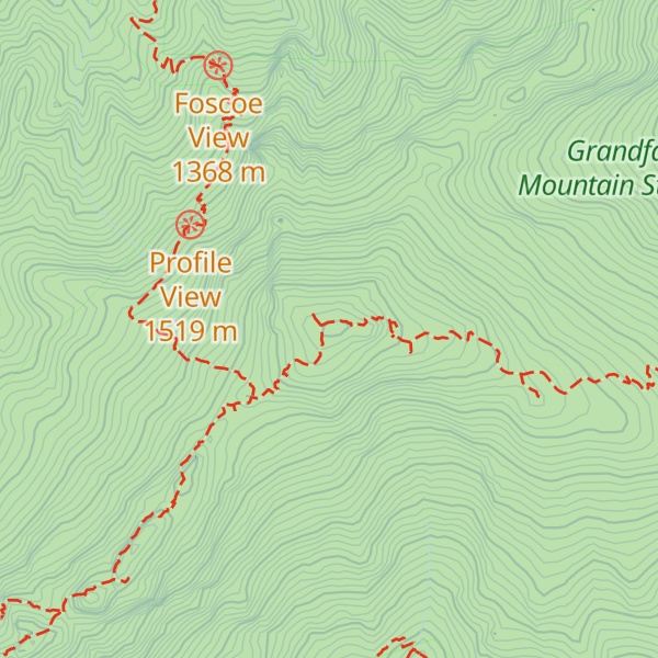
Grandfather Mountain is a mountain, a non-profit attraction, and a North Carolina state park
near Linville, North Carolina. At 5,946 feet (1,812 m), it is the highest peak on the eastern escarpment of the Blue Ridge Mountains, one of the major chains of the Appalachian Mountains. (Nearby Mt. Mitchell, the highest peak east of the Mississippi River, is on the western escarpment.) The Blue Ridge Parkway passes by the south side of the mountain and also passes over the nearby Grandmother Gap. It is located at the meeting point of Avery, Caldwell (highest point), and Watauga (highest point) counties.
There's an alpine trail (T4) called Grandfather Trail leading to the summit.
By elevation Calloway Peak is
# 84 out of 3424 in North Carolina # 3 out of 122 in Avery County # 1 out of 102 in Caldwell County # 1 out of 129 in Watauga County # 1 out of 4 in Grandfather Mountain State Park # 92 out of 39823 in the Appalachian Mountains # 91 out of 6326 in the Blue Ridge Mountains
By prominence Calloway Peak is
# 9 out of 3424 in North Carolina # 1 out of 122 in Avery County # 1 out of 102 in Caldwell County # 1 out of 129 in Watauga County # 1 out of 4 in Grandfather Mountain State Park # 37 out of 39823 in the Appalachian Mountains # 12 out of 6326 in the Blue Ridge Mountains
We use GPS information embedded into the photo when it is available.
3D mountains overlay
Adjust mountain panorama to perfectly match your photos because recorded by camera photo position might be imprecise.
Move tool
Rotate tool
Zoom
More customization
Choose which peak labels should make into the final photo and what photo title should be.
Next
Photo Location
Satellitte
Flat map
Relief map
Latitude
Longitude
Altitude
OR
Latitude
°'''
Longitude
°'''
Apply
Register Peak
Peak Name
Latitude
Longitude
Altitude
Register
Teleport
PeakVisor
This 3D model of Sagarmatha National Park in Nepal was made using the PeakVisor app topographic data. The mobile app features higher precision models worldwide, more topographic details, and works offline. Download PeakVisor maps today.
Download OBJ model
PeakVisor
The download should start shortly. If you find it useful please consider supporting the PeakVisor app.
PeakVisor for iOS and Android
Be a superhero of outdoor navigation with state-of-the-art 3D maps and mountain identification in the palm of your hand!