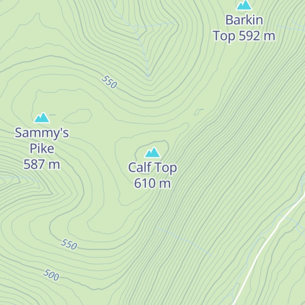
Calf Top is a mountain in the western part of the Yorkshire Dales, England. It is located in the county of Cumbria, although Lancashire and North Yorkshire are not far away. Calf Top is a dominating profile in the view from many of the smaller hills to its west, such as Lambrigg Fell and Hutton Roof Crags.
Calf Top is separated from its neighbours, Great Coum and Aye Gill Pike by the deep trench of Barbondale, meaning that although it is lower than most of the hills in its region, it has high relative height and is a Marilyn.
There's a trail leading to the summit.
By elevation Calf Top is
# 60 out of 786 in Yorkshire Dales National Park
By prominence Calf Top is
# 29 out of 12948 in the England Hills # 5 out of 786 in Yorkshire Dales National Park # 29 out of 13057 in England # 17 out of 1704 in Cumbria
We use GPS information embedded into the photo when it is available.
3D mountains overlay
Adjust mountain panorama to perfectly match your photos because recorded by camera photo position might be imprecise.
Move tool
Rotate tool
Zoom
More customization
Choose which peak labels should make into the final photo and what photo title should be.
Next
Photo Location
Satellitte
Flat map
Relief map
Latitude
Longitude
Altitude
OR
Latitude
°'''
Longitude
°'''
Apply
Register Peak
Peak Name
Latitude
Longitude
Altitude
Register
Teleport
PeakVisor
This 3D model of Sagarmatha National Park in Nepal was made using the PeakVisor app topographic data. The mobile app features higher precision models worldwide, more topographic details, and works offline. Download PeakVisor maps today.
Download OBJ model
PeakVisor
The download should start shortly. If you find it useful please consider supporting the PeakVisor app.
PeakVisor for iOS and Android
Be a superhero of outdoor navigation with state-of-the-art 3D maps and mountain identification in the palm of your hand!