Boundary Bald Mountain is a mountain located in Somerset County, Maine, about 7.5 mi (12.1 km) southeast of the Canada–US border with Quebec. Boundary Bald Mountain is flanked to the east by Ironbound Mountain, and to the west by Sandy Bay Mountain.
The north side of Boundary Bald Mountain drains via Alder Brook, Fish Brook, and Hale Brook (east to west) into the South Branch of the Penobscot River, then into the West Branch, the main stem of the Penobscot, and into Penobscot Bay. The south side of Boundary Bald Mountain drains via Churchill Stream, Upper Churchill Stream, and Heald Stream (east to west) into the Moose River, then into the Kennebec River, and into the Gulf of Maine.
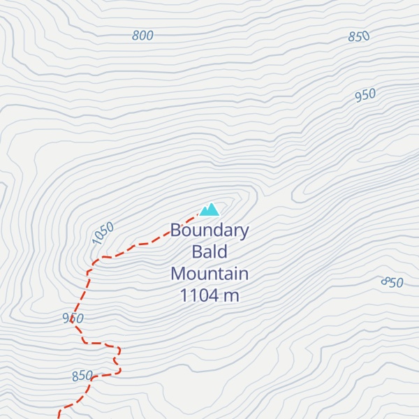
There's a trail leading to the summit.
By elevation Boundary Bald Mountain is
# 5 out of 232 in Somerset County # 53 out of 2903 in Maine # 41 out of 683 in the Longfellow Mountains
By prominence Boundary Bald Mountain is
# 3 out of 232 in Somerset County # 11 out of 2903 in Maine # 54 out of 39823 in the Appalachian Mountains # 8 out of 683 in the Longfellow Mountains
We use GPS information embedded into the photo when it is available.
3D mountains overlay
Adjust mountain panorama to perfectly match your photos because recorded by camera photo position might be imprecise.
Move tool
Rotate tool
Zoom
More customization
Choose which peak labels should make into the final photo and what photo title should be.
Next
Photo Location
Satellitte
Flat map
Relief map
Latitude
Longitude
Altitude
OR
Latitude
°'''
Longitude
°'''
Apply
Register Peak
Peak Name
Latitude
Longitude
Altitude
Register
Teleport
PeakVisor
This 3D model of Sagarmatha National Park in Nepal was made using the PeakVisor app topographic data. The mobile app features higher precision models worldwide, more topographic details, and works offline. Download PeakVisor maps today.
Download OBJ model
PeakVisor
The download should start shortly. If you find it useful please consider supporting the PeakVisor app.
PeakVisor for iOS and Android
Be a superhero of outdoor navigation with state-of-the-art 3D maps and mountain identification in the palm of your hand!