The Blue Wing Mountains are a mountain range in west central Pershing County, Nevada.
The range is a small northeast-trending range typical of the Basin and Range Province. Adjacent to the northwest side of the range is a desert playa of the broad Kumiva Valley. To the west beyond the Kumiva Valley lies the Selenite Range. To the southwest lie the Nightingale Mountains, and directly south across the narrow Juniper Pass are the closely associated Sahwave Mountains. To the southeast is the Blue Wing Playa of the broad Granite Springs Valley. Beyond the Granite Springs Valley is the Trinity Range, with Lovelock just beyond. The Seven Troughs Range lies just five miles to the east of the Blue Wings.
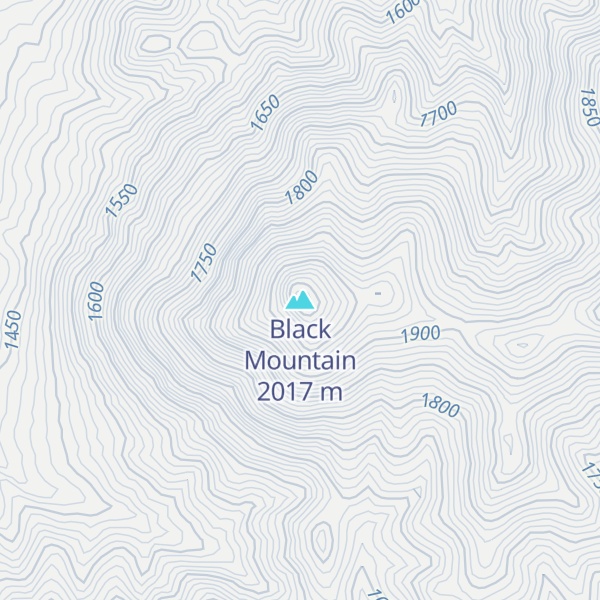
By elevation Black Mountain is
# 1 out of 1 in the Blue Wing Mountains # 48 out of 83 in Pershing County
By prominence Black Mountain is
# 1 out of 1 in the Blue Wing Mountains # 11 out of 83 in Pershing County
We use GPS information embedded into the photo when it is available.
3D mountains overlay
Adjust mountain panorama to perfectly match your photos because recorded by camera photo position might be imprecise.
Move tool
Rotate tool
Zoom
More customization
Choose which peak labels should make into the final photo and what photo title should be.
Next
Photo Location
Satellitte
Flat map
Relief map
Latitude
Longitude
Altitude
OR
Latitude
°'''
Longitude
°'''
Apply
Register Peak
Peak Name
Latitude
Longitude
Altitude
Register
Teleport
PeakVisor
This 3D model of Sagarmatha National Park in Nepal was made using the PeakVisor app topographic data. The mobile app features higher precision models worldwide, more topographic details, and works offline. Download PeakVisor maps today.
Download OBJ model
PeakVisor
The download should start shortly. If you find it useful please consider supporting the PeakVisor app.
PeakVisor for iOS and Android
Be a superhero of outdoor navigation with state-of-the-art 3D maps and mountain identification in the palm of your hand!