Indian Heaven is a volcanic field in Skamania County in the state of Washington, in the United States. Midway between Mount St. Helens and Mount Adams, the field dates from the Pleistocene to the early Holocene epoch. It trends north to south and is dominated by six small shield volcanoes; these shields are topped by small spatter and cinder cones, and the field includes a number of subglacial volcanoes and tuyas. The northernmost peak in the field is Sawtooth Mountain and the southernmost is Red Mountain; its highest point is Lemei Rock at an elevation of 5,925 feet (1,806 m).
Indian Heaven features both polygenetic and monogenetic volcanic activity; many of its volcanoes have only erupted once before coming extinct, while others have erupted several times. Approximately 50 eruptive centers lie within the Indian Heaven field, which also has approximately 40 lava flows. The field's eruptive output totals 14 to 19 cubic miles (58 to 79 km3), with sporadic activity taking place for the past 700,000 years. The last volcanic activity in the field produced a large cinder cone, Big Lava Bed, as well as a voluminous lava and scoria flows about 9,000 years ago. Future activity is possible, though the Volcano Hazards Program directed by the United States Geological Survey considers Indian Heaven's volcanic threat level to be low.
The volcanic field is surrounded by the Indian Heaven Wilderness, a protected wilderness area within the Gifford Pinchot National Forest, supporting diverse flora and fauna. The local area has been inhabited by Native American populations for about 10,000 years, and the name Indian Heaven derives from the indigenous name for the vicinity. A popular recreation destination, the wilderness offers a number of trails, as well as more than 150 lakes for fishing, swimming, and boating.
By elevation Battlement Ridge is
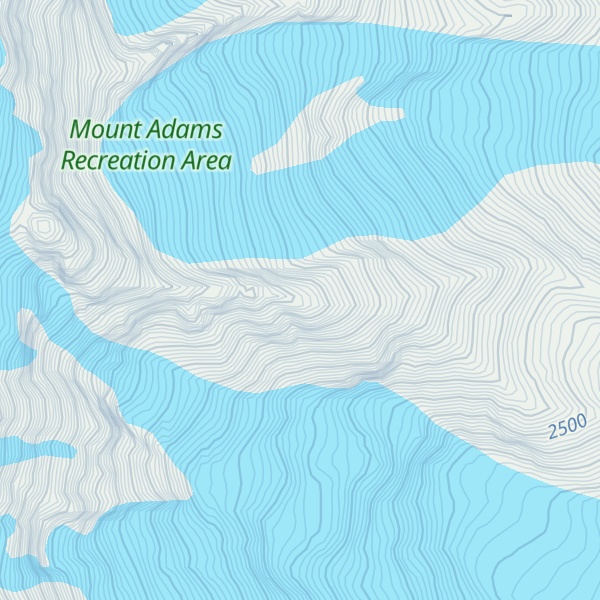
# 49 out of 4345 in the Cascade Range # 7 out of 170 in Yakima County # 34 out of 3673 in Washington # 5 out of 11 in Mount Adams Recreation Area
We use GPS information embedded into the photo when it is available.
3D mountains overlay
Adjust mountain panorama to perfectly match your photos because recorded by camera photo position might be imprecise.
Move tool
Rotate tool
Zoom
More customization
Choose which peak labels should make into the final photo and what photo title should be.
Next
Photo Location
Satellitte
Flat map
Relief map
Latitude
Longitude
Altitude
OR
Latitude
°'''
Longitude
°'''
Apply
Register Peak
Peak Name
Latitude
Longitude
Altitude
Register
Teleport
PeakVisor
This 3D model of Sagarmatha National Park in Nepal was made using the PeakVisor app topographic data. The mobile app features higher precision models worldwide, more topographic details, and works offline. Download PeakVisor maps today.
Download OBJ model
PeakVisor
The download should start shortly. If you find it useful please consider supporting the PeakVisor app.
PeakVisor for iOS and Android
Be a superhero of outdoor navigation with state-of-the-art 3D maps and mountain identification in the palm of your hand!