
Scan the QR code and open PeakVisor on your phone
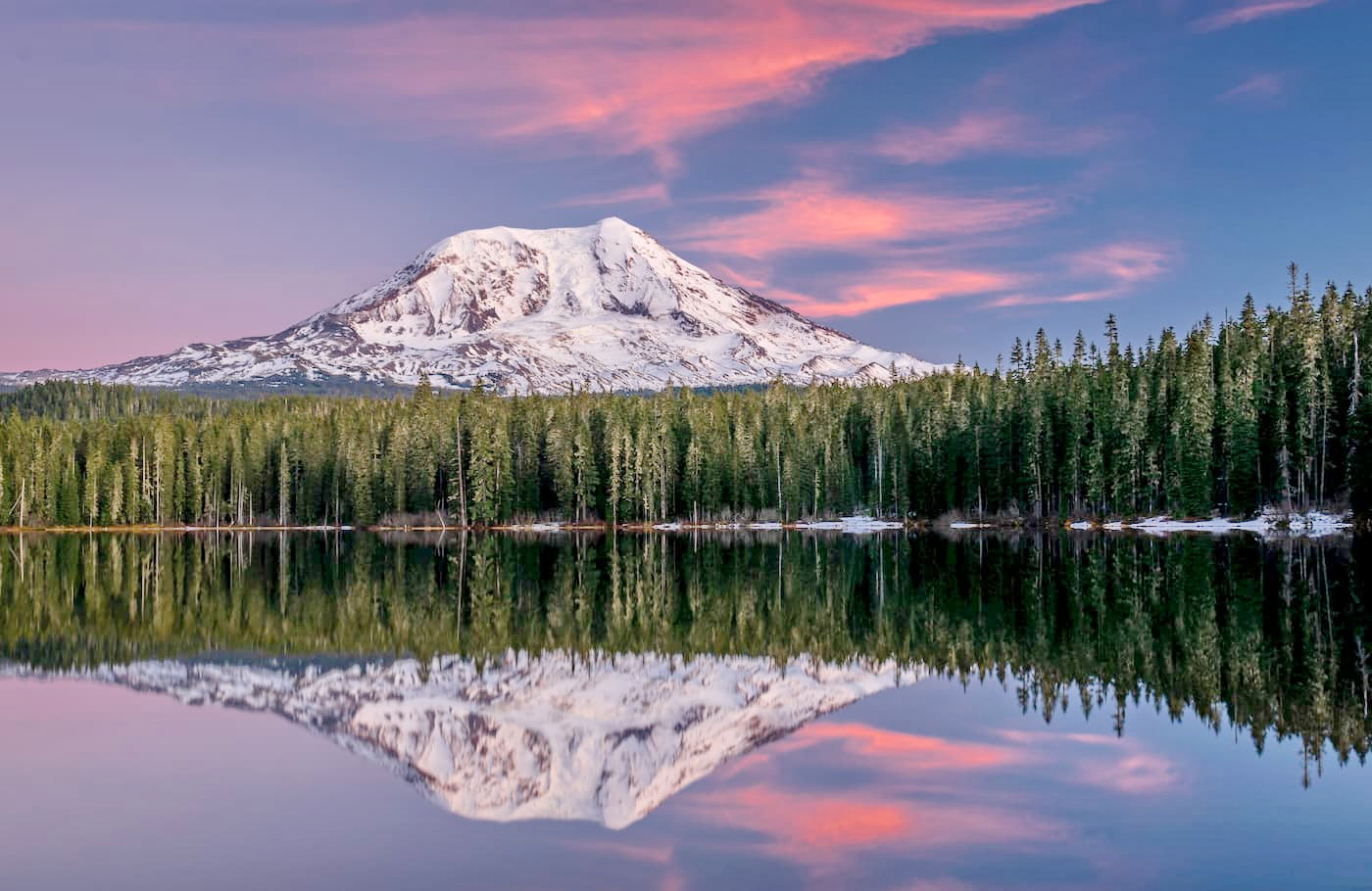
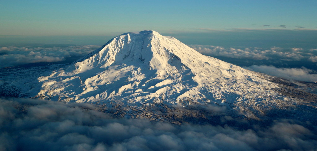
Mount Adams Recreation area is 21,000 acres located in Washington State. There are 9 named mountains in Mount Adams Recreation Area. The highest and the most prominent mountain is Mount Adams. This area is managed by the Yakama Nation Tribal Forestry Program.
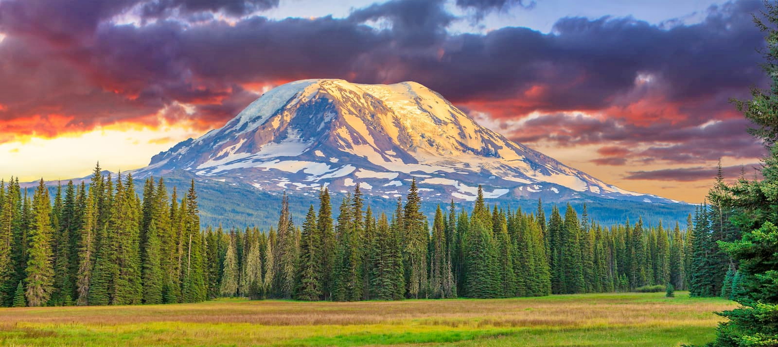
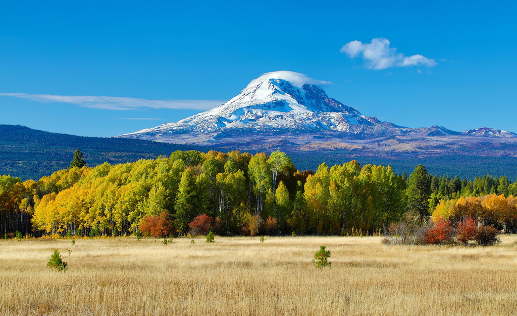
This recreation area encompasses the rugged east side of Mount Adams which includes what is known as “The Gap” section of the mountain. Mount Adams stands at 12,276 feet and is the second tallest mountain in Washington. Mount Adams Recreation area is part of the Yakama Indian Reservation and is a wonderful place to go hiking, camping, backpacking, picnicking, and even fishing.
Note that many of the more well-known hiking trails remain closed after being heavily affected from a large forest fire back in 2012. Be sure to check that the hike is not closed for maintenance before starting.
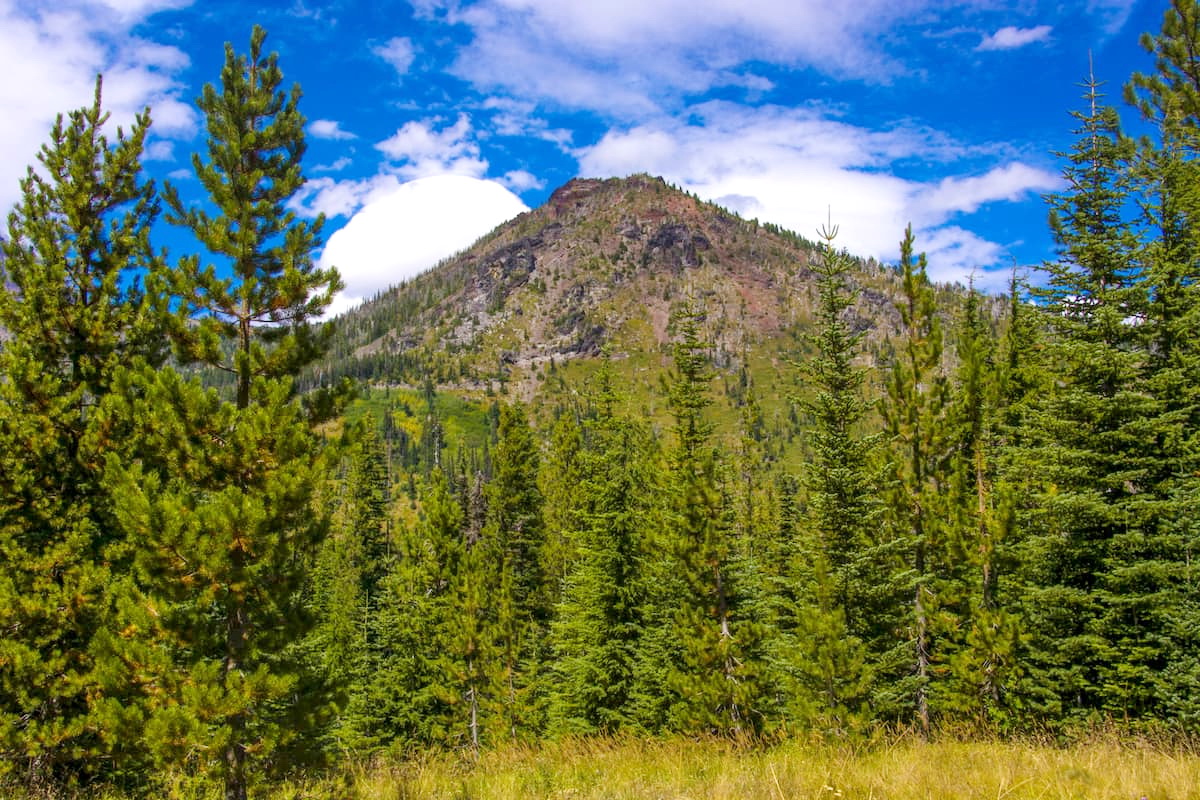
This seven-mile hike has just over 2,200 feet of total elevation. Little Mount Adams sits at 6,821 feet on top of the Ridge of Wonders. The scramble to the top of this peak is an unmaintained trail and should only be completed by expert hikers. Once you reach the top you will be rewarded with gorgeous views of Mount Adams, Hellroaring Canyon, and Mount Hood to the south.
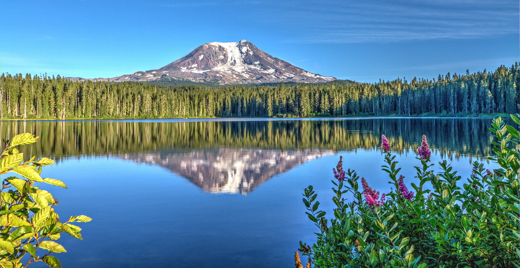
Scheduled to re-open during the summer of 2020, Bird Creek Meadows is a well-known hike in the area. This three-mile hike has only 500 feet of elevation gain and offers some of the best views of wildflowers near the mountain. Along the hike there are numerous short side trails that offer extra mileage and views of nearby creeks. Be sure to check that the trail is open to the public before planning your trip.
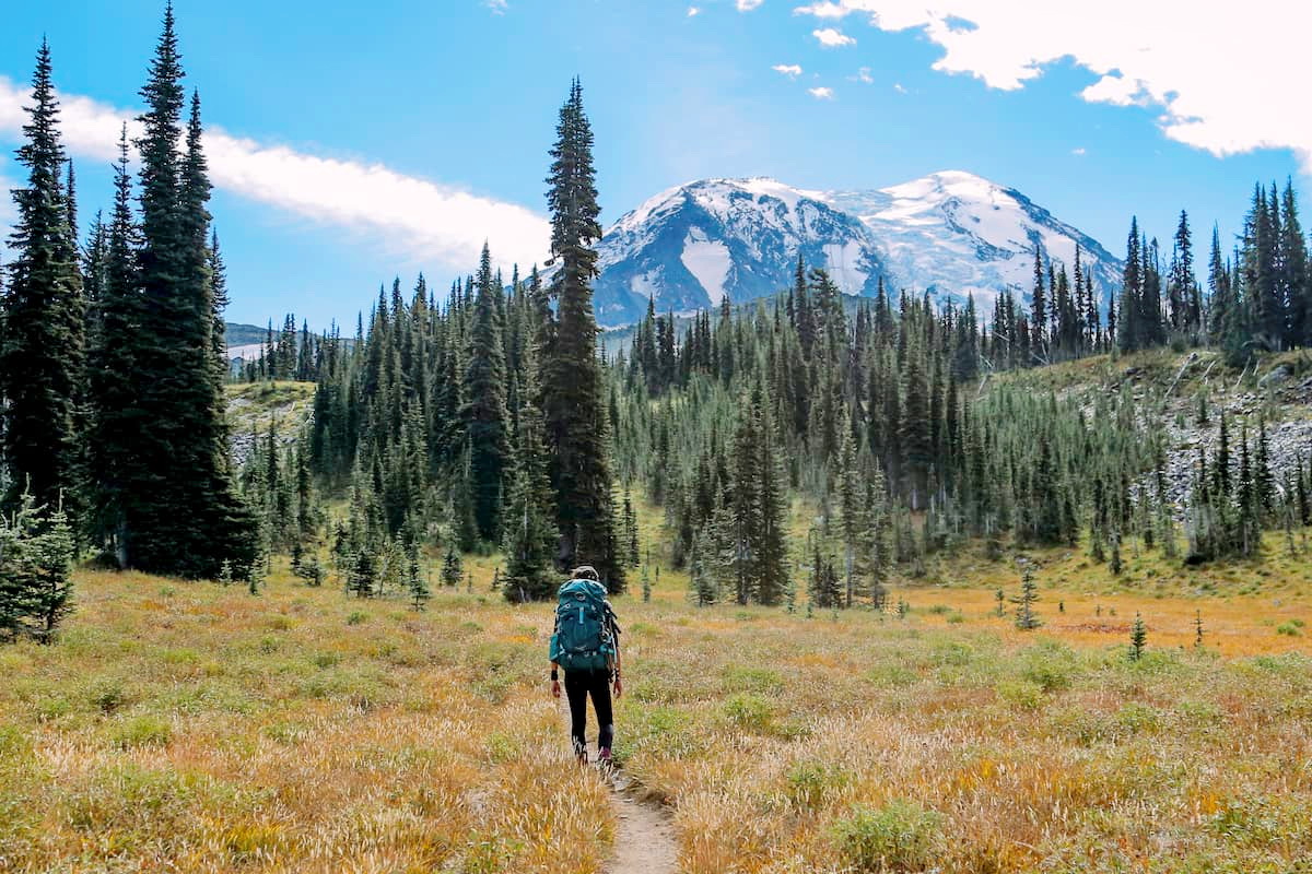
While there is not one designated trail around Mount Adams, hikers have created their own loop by connecting three existing trails. This involves Round the Mountain trial, the Pacific Crest Trail, and the Highline trail. This leaves hikers with a four-mile section that is referred to as “The Gap”, that is located within the Mount Adams Recreation Area. Crossing this section requires extensive knowledge of mountaineering skills. While many hikers have completed this section, there is not a clearly defined trail. Hikers must make a few treacherous river crossings and cross a glacier in order to complete the full loop around the mountain.
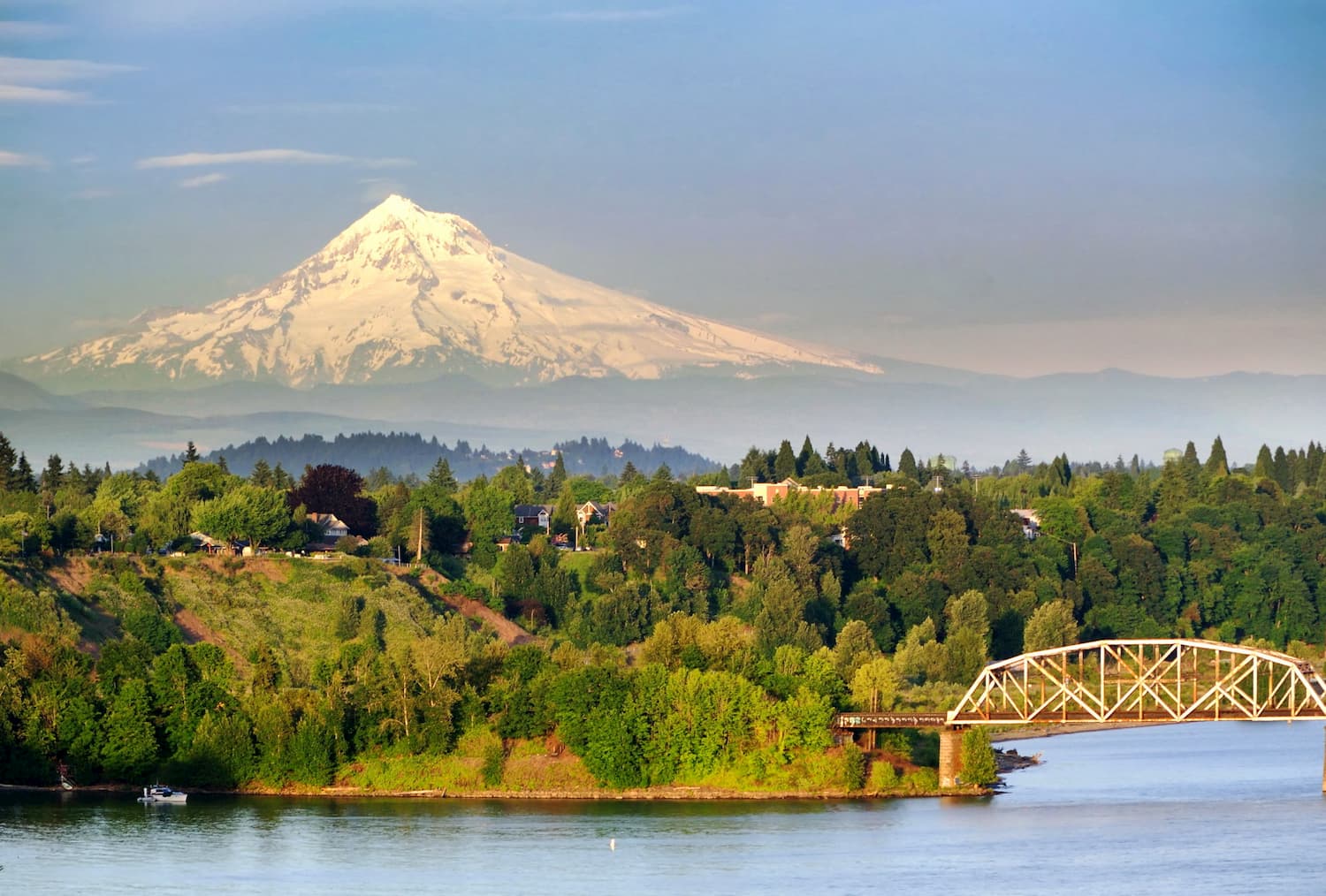
Mount Adams Recreation Area is located just two hours northeast of Portland, OR. With a population of over 600,000 people, Portland is the largest city within the state of Oregon. Known for its vast food scene, many people often forget that Portland is also a hiker’s paradise. The city is home to Forest Park, 5,200 acres of trails within the city, it is just two hours away from both Mount Adams and Mount Hood, and an hour from Tillamook State Forest.


ultra
glacier
volcano
cascade-range-9000ers
washington-bulger
washington-fire-lookouts
smoots-100
chemeketan-18-nw
mountaineers-6-peak-pin
mountaineers-5-peak-pin
cascade-volcanoes-pin
mazamas-guardian-award
mazamas-16-nw-award
washington-ultras
ultra
glacier
volcano
cascade-range-9000ers
washington-bulger
washington-fire-lookouts
smoots-100
chemeketan-18-nw
mountaineers-6-peak-pin
mountaineers-5-peak-pin
cascade-volcanoes-pin
mazamas-guardian-award
mazamas-16-nw-award
washington-ultras


