
Scan the QR code and open PeakVisor on your phone
Tillamook State Forest has 42 named peaks. The highest is Rogers Peak at 1,127 m. Other notable peaks include Larch Mountain, South Saddle Mountain and Triangulation Point.
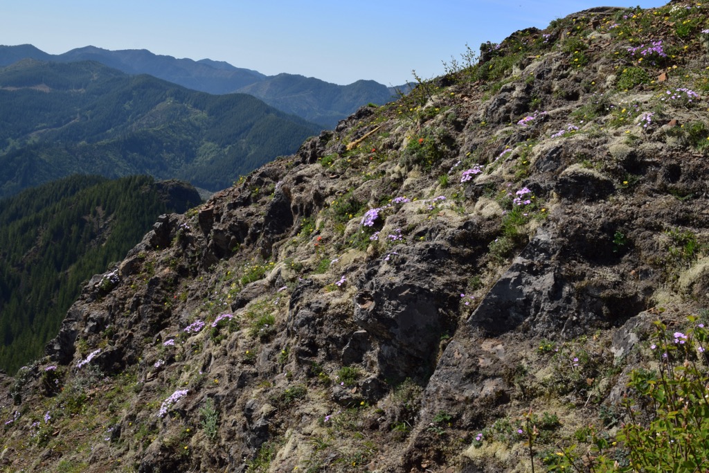
The Tillamook State Forest covers 364,000 acres in state of Oregon. The forest is 40 miles west of Portland and spans north to south. The area was severely destroyed during the 1930’s due to extensive forest fires. However, the forest was replanted in the decades that followed and was official designated as a State Forest in 1973. Within the Tillamook State Forest is the Tillamook Rainforest. This area of the forest is one of the wettest in the United States, averaging more than 100 inches of rain per year. Due to the extreme rainfall the forest is made predominantly of Douglas-fir and western hemlock trees, both which thrive in high rainfall.
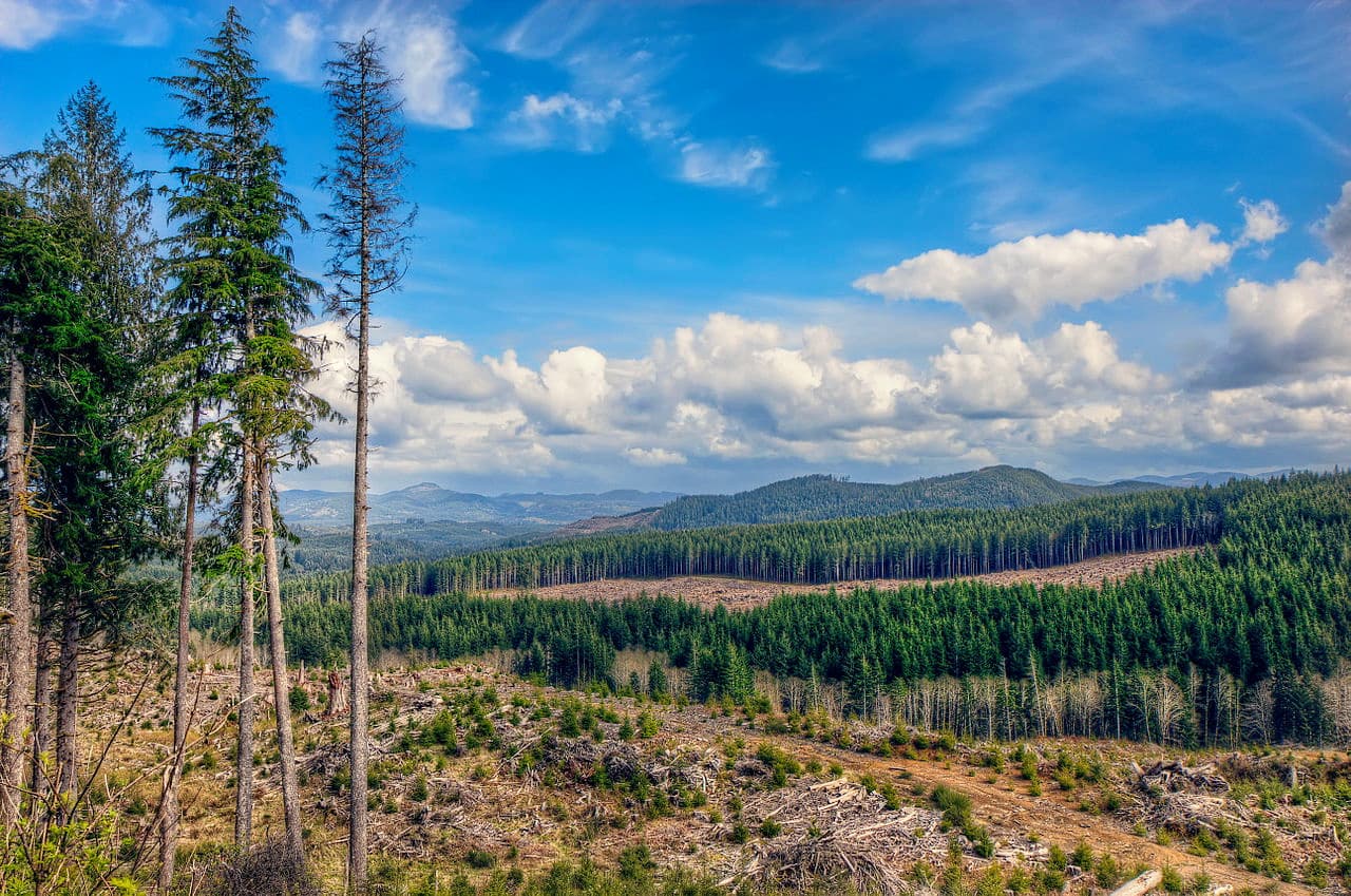
There are 26 named mountains in Tillamook State Forest. The highest and the most prominent mountain is Rogers Peak. The origin of the peak and surrounding mountains are estimated to be 40 million years old, during the Eocene age. With over 30 trails, the forest has a hike for any skill level.
Kings Mountain is one of the most popular hikes within the State Forest. This out and back trail is 5-miles long but has over 2,500 feet of elevation gain. Kings Mountain summit is 3,206 feet, making it one of the tallest peaks within the forest. This steep hike climbs quickly before taking you high above the treetops for breathtaking views of Elk Mountain and other nearby peaks. Be sure to take this hike for one of the best views in the entire forest.
Another well-known hike within Tillamook State Forest, is the Elk Mountain Loop. This trail is 11.4-miles and has 3,300 feet of elevation gain. The trail is located near Tillamook, Oregon. The loop takes you up Elk Mountain and Kings Mountain, both offering views of the surrounding forest, peaks, and valleys. The hike is not backpacker friendly since there are no campsites so be sure to get an early start.

Perhaps the most well-known waterfall within the Tillamook State Forest, this 7.8-mile loop has 1,300 feet of elevation gain. The fall plunges over a basalt face and is surrounded by red alders. If you want an easier option there is an out and back hike that is only 0.7-miles with 180 feet of elevation gain. Whether you take the loop or the short hike, you’ll be rewarded with glorious views of this waterfall.
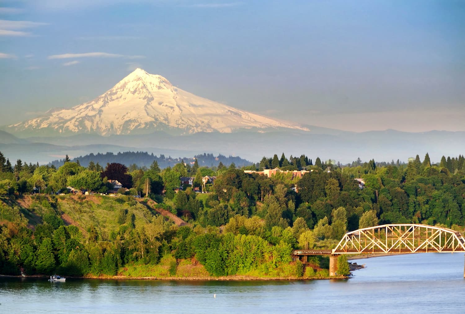
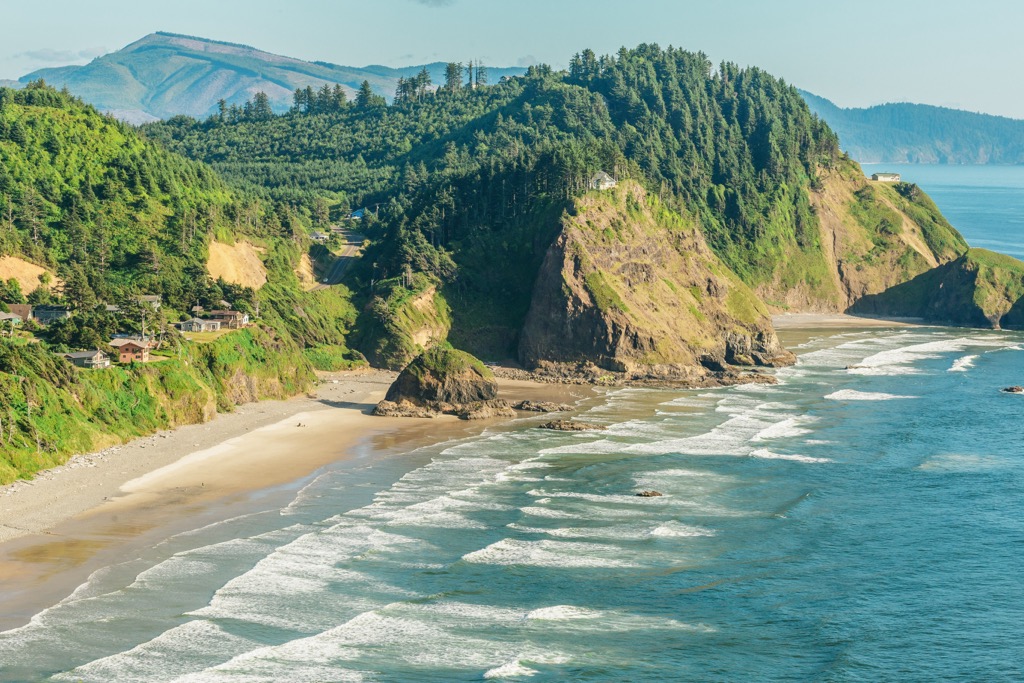
The city of just east of the Tillamook State Forest. With a population of over 600,000 people, Portland is the largest city within the state of Oregon. Known for its vast food scene, many people often forget that Portland is also a hiker’s paradise. The city is home to Forest Park, 5,200 acres of trails within the city, it is just two hours away from both Mount Adams and Mount Hood, and an hour from Tillamook National Forest. Known for being a “hipster hub” the city has a plethora of quirky stores, coffee shops, and what seems to be a never-ending list of breweries.
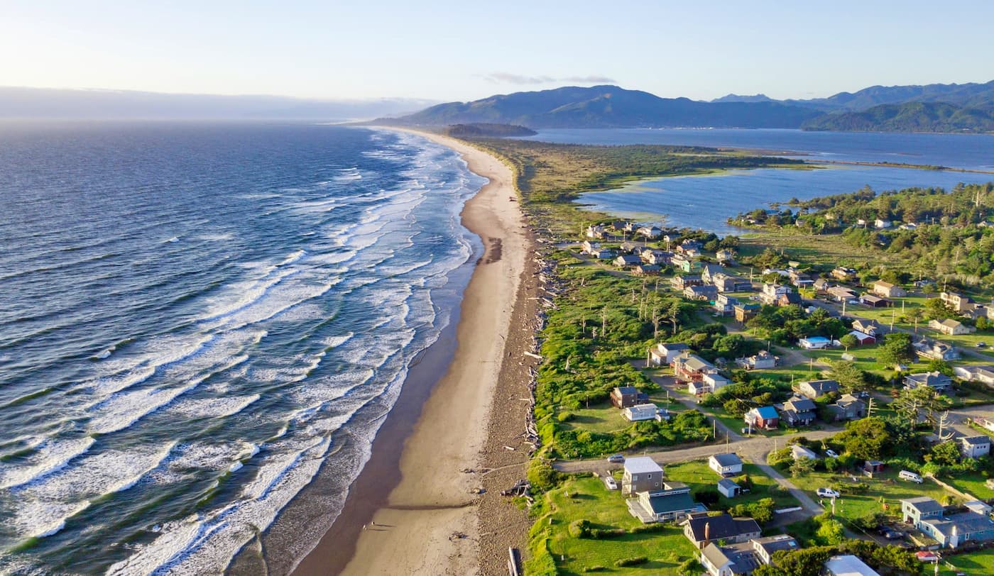
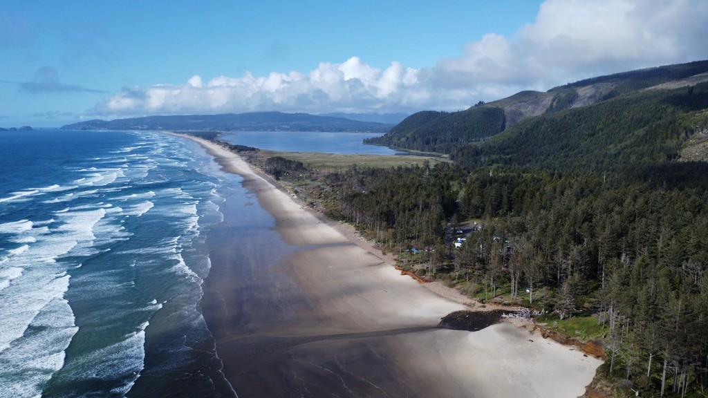
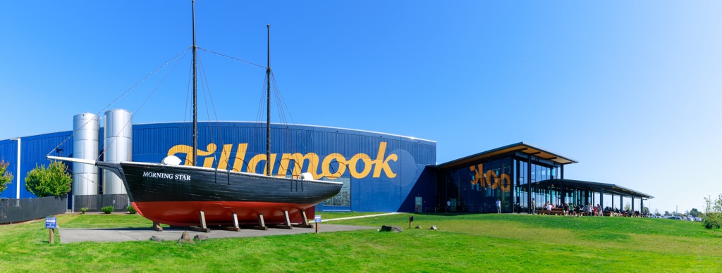
The city of Tillamook is one of the largest towns located on the Oregon coast. Tillamook is named after a Native American tribe who lived in the region during the early 19th century. Historically the region is primarily centered around dairy farming. Located in the town is the Tillamook County Creamery Association which makes cheese, gourmet ice cream, yogurt, and other dairy bottles. The city is also home to the Tillamook Air Museum which features a variety of aircraft artifacts. Many of the hikes within the forest are located near the city of Tillamook.


The highest peak in Tillamook State Forest is Rogers Peak, at 1,127 m.
Notable peaks in Tillamook State Forest include Rogers Peak, Larch Mountain, South Saddle Mountain, Triangulation Point and Kings Mountain.


