Basin Mountain is a mountain in the Great Range of the Adirondacks in the U.S. state of New York. It is the ninth-highest peak in New York, with an elevation of 4,827 feet (1,471 m), and one of the 46 High Peaks in Adirondack Park. It is located in the town of Keene in Essex County. The peak was named either for the basins formed between knobs on its slopes or the large basin to its southeast formed by it and the surrounding mountains. The name Basin was most likely coined by Orson Schofield Phelps and Frederick W. Perkins in 1857 during an ascent of Mount Marcy. The earliest appearance of the name in writing was made by surveyor Verplanck Colvin in 1873.
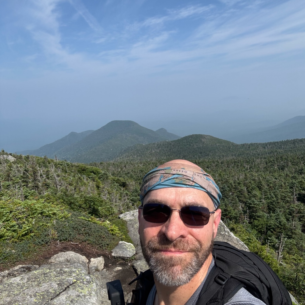
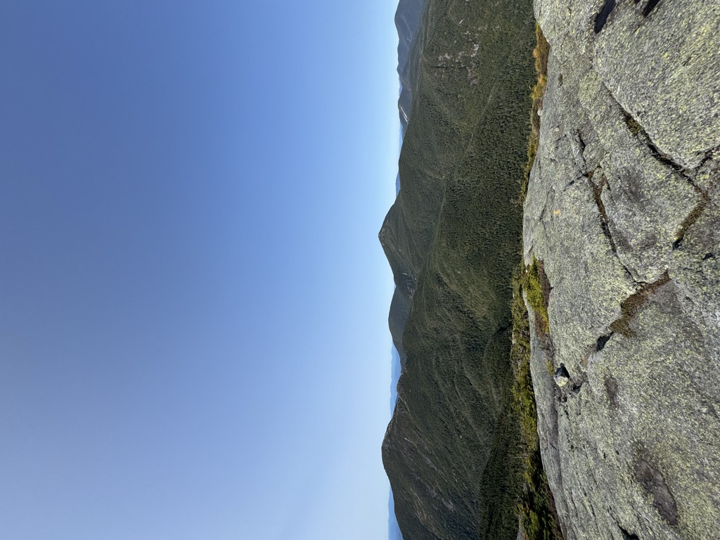
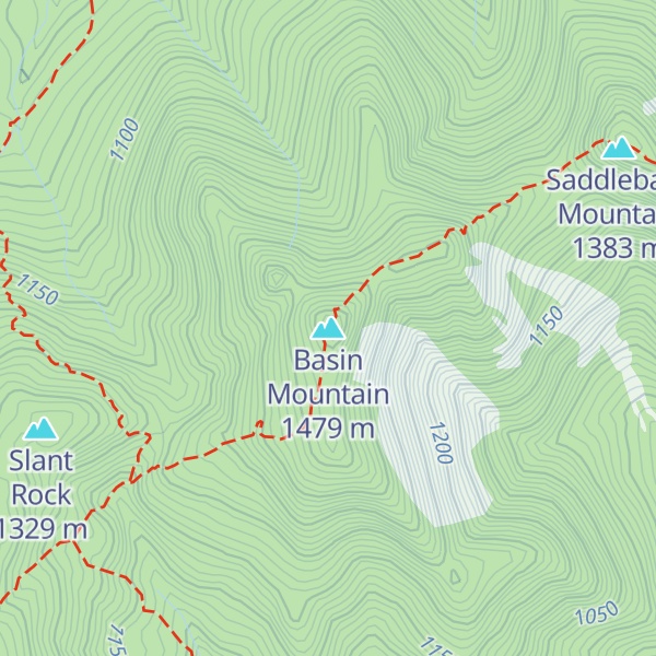
Basin Mountain can be climbed from many trailheads in the High Peaks Wilderness Area. Steep ledges on the west side of the mountain make backpacking over the mountain difficult. The State Range Trail, which begins at Johns Brook Lodge, crosses over Basin and other peaks of the Great Range. From the lodge, the route to the summit of Basin is 4.5 miles (7.2 km), for 2,870 feet (870 m) of total ascent, crossing over Saddleback Mountain on the way. From the south, the State Range Trail intersects with the Shorey Short Cut, the Haystack Brook Trail, and the Phelps Trail. The mountain can also be crossed as part of a hike of the entire Great Range. The summit of the mountain is an alpine zone, and offers views of Gothics to the east, Shanty Brook Valley to the southeast, Upper Ausable Lake to the South, Mount Haystack to the southwest, and Mount Marcy to the west.
There's a hiking trail (T2) called State Range Trail leading to the summit. Basin Mountain is one of the 2 peaks along the State Range Trail.
By elevation Basin Mountain is
# 7 out of 1601 in Adirondack Park # 7 out of 3825 in New York # 6 out of 126 in High Peaks Wilderness # 7 out of 591 in Essex County # 1 out of 16 in the Great Range # 7 out of 1678 in the Adirondack Mountains
By prominence Basin Mountain is
# 27 out of 126 in High Peaks Wilderness # 59 out of 591 in Essex County # 1 out of 16 in the Great Range
We use GPS information embedded into the photo when it is available.
3D mountains overlay
Adjust mountain panorama to perfectly match your photos because recorded by camera photo position might be imprecise.
Move tool
Rotate tool
Zoom
More customization
Choose which peak labels should make into the final photo and what photo title should be.
Next
Photo Location
Satellitte
Flat map
Relief map
Latitude
Longitude
Altitude
OR
Latitude
°'''
Longitude
°'''
Apply
Register Peak
Peak Name
Latitude
Longitude
Altitude
Register
Teleport
PeakVisor
This 3D model of Sagarmatha National Park in Nepal was made using the PeakVisor app topographic data. The mobile app features higher precision models worldwide, more topographic details, and works offline. Download PeakVisor maps today.
Download OBJ model
PeakVisor
The download should start shortly. If you find it useful please consider supporting the PeakVisor app.
PeakVisor for iOS and Android
Be a superhero of outdoor navigation with state-of-the-art 3D maps and mountain identification in the palm of your hand!