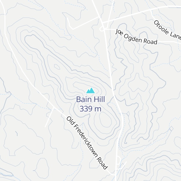
Bain Hill is a summit in St. Francois County, Missouri. It has a peak elevation of 1,106 feet (337 m). The hill rises to the east of and about 200 feet above the Little St. Francis River. Knob Lick lies about four miles to the west and Mine La Motte is about five miles to the south in Madison County.
Bain Hill has the name of Peter Bains, the original owner of the site.
By elevation Bain Hill is
# 28 out of 41 in St. Francois County # 97 out of 134 in the Saint Francois Mountains
By prominence Bain Hill is
# 25 out of 41 in St. Francois County # 89 out of 134 in the Saint Francois Mountains
We use GPS information embedded into the photo when it is available.
3D mountains overlay
Adjust mountain panorama to perfectly match your photos because recorded by camera photo position might be imprecise.
Move tool
Rotate tool
Zoom
More customization
Choose which peak labels should make into the final photo and what photo title should be.
Next
Photo Location
Satellitte
Flat map
Relief map
Latitude
Longitude
Altitude
OR
Latitude
°'''
Longitude
°'''
Apply
Register Peak
Peak Name
Latitude
Longitude
Altitude
Register
Teleport
PeakVisor
This 3D model of Sagarmatha National Park in Nepal was made using the PeakVisor app topographic data. The mobile app features higher precision models worldwide, more topographic details, and works offline. Download PeakVisor maps today.
Download OBJ model
PeakVisor
The download should start shortly. If you find it useful please consider supporting the PeakVisor app.
PeakVisor for iOS and Android
Be a superhero of outdoor navigation with state-of-the-art 3D maps and mountain identification in the palm of your hand!