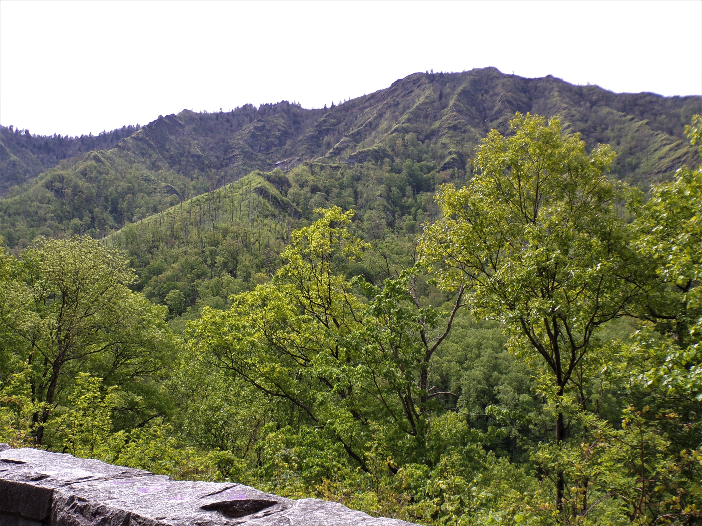
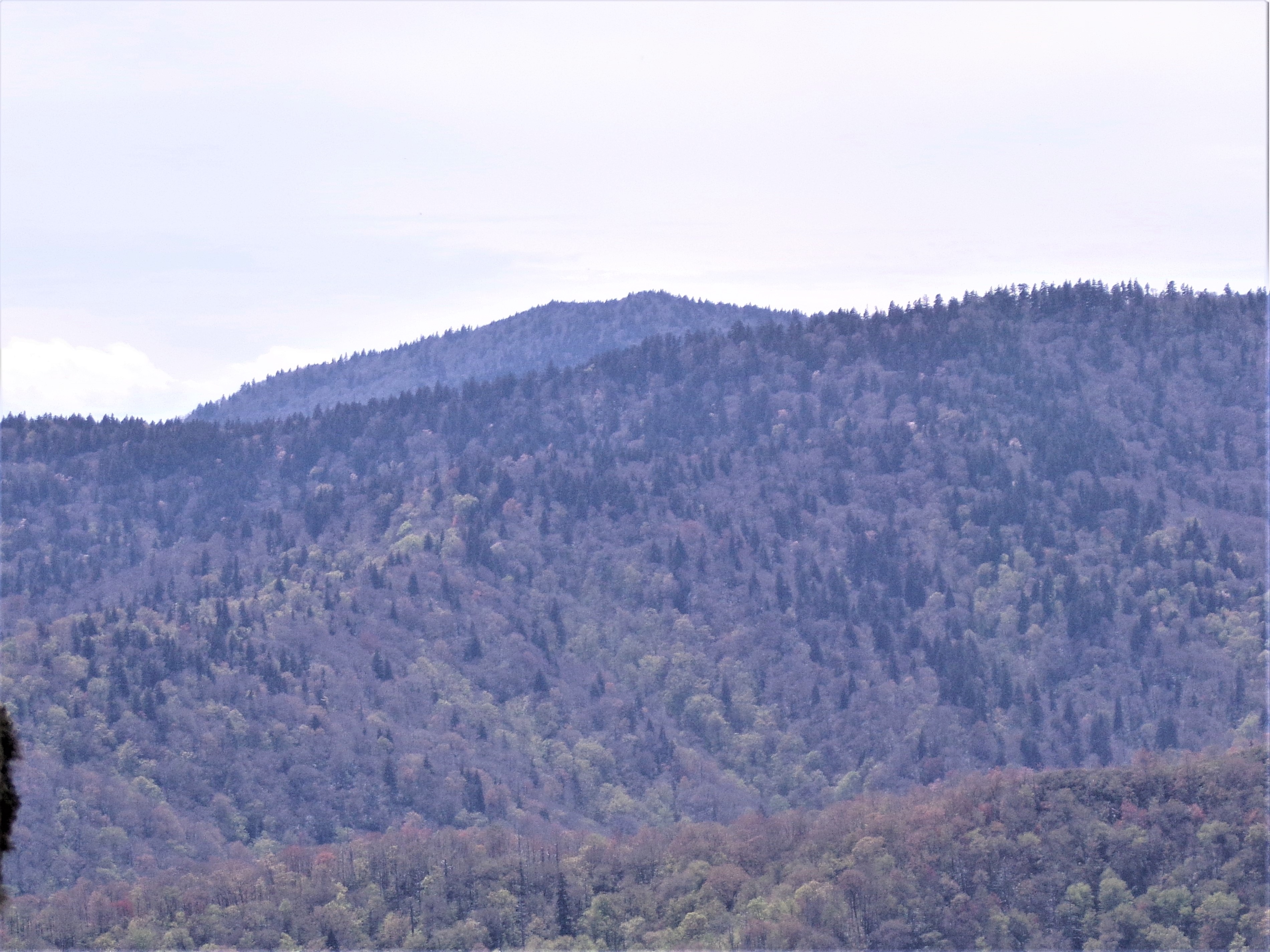
Andrews Bald is a mountain in the Great Smoky Mountains, located in the southeastern United States. It has an elevation of 5,920 feet (1,800 m) above sea level, making it the highest grassy bald in the Great Smoky Mountains National Park. The mountain is one of two grassy balds maintained in the range by the National Park Service. The other is Gregory Bald, in the western Smokies.
Andrews Bald is a double peak situated along Forney Ridge, just south of Clingmans Dome. Andrews Bald is the 62nd-highest mountain in North Carolina and is located entirely within Swain County.
Unlike Gregory Bald, the bald area of Andrews does not cover the summit but spreads out around the south slope. How and why grassy balds form is a mystery. While cattle grazing maintained the balds throughout the 19th-century, the forest slowly started reclaiming them after the formation of the national park in the 1930s. In the early 1980s, the park service polled park visitors regarding the state of the grassy balds, and the response was overwhelmingly in favor of maintaining the balds atop Gregory and Andrews.
Andrews Bald is probably named after Andres Thompson, an early settler who used the mountain for hunting. A cabin once stood on the southwest slope, near the tip of the present bald area. Herders' shacks were not uncommon in the high-elevation grazing areas of southern Appalachia during the late 19th and early 20th centuries, so the cabin may have been a seasonal residence.
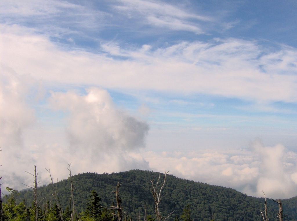
The Forney Ridge Trail crosses Andrews Bald, passing to within a few feet of the summit, and traverses the entire bald area en route to Springhouse Branch. The trail intersects the Appalachian Trail on the slopes of Clingmans Dome and can be accessed from the Forney Ridge parking lot. The bald area is just under two miles (3 km) from the parking lot.
There's a trail called Forney Ridge Trail leading to the summit. Andrews Bald is one of the 1 peaks along the Forney Ridge Trail.
By elevation Andrews Bald is
# 35 out of 345 in Great Smoky Mountains National Park # 87 out of 3424 in North Carolina # 23 out of 239 in Swain County # 95 out of 39823 in the Appalachian Mountains # 35 out of 497 in the Great Smoky Mountains # 94 out of 6326 in the Blue Ridge Mountains
We use GPS information embedded into the photo when it is available.
3D mountains overlay
Adjust mountain panorama to perfectly match your photos because recorded by camera photo position might be imprecise.
Move tool
Rotate tool
Zoom
More customization
Choose which peak labels should make into the final photo and what photo title should be.
Next
Photo Location
Satellitte
Flat map
Relief map
Latitude
Longitude
Altitude
OR
Latitude
°'''
Longitude
°'''
Apply
Register Peak
Peak Name
Latitude
Longitude
Altitude
Register
Teleport
PeakVisor
This 3D model of Sagarmatha National Park in Nepal was made using the PeakVisor app topographic data. The mobile app features higher precision models worldwide, more topographic details, and works offline. Download PeakVisor maps today.
Download OBJ model
PeakVisor
The download should start shortly. If you find it useful please consider supporting the PeakVisor app.
PeakVisor for iOS and Android
Be a superhero of outdoor navigation with state-of-the-art 3D maps and mountain identification in the palm of your hand!