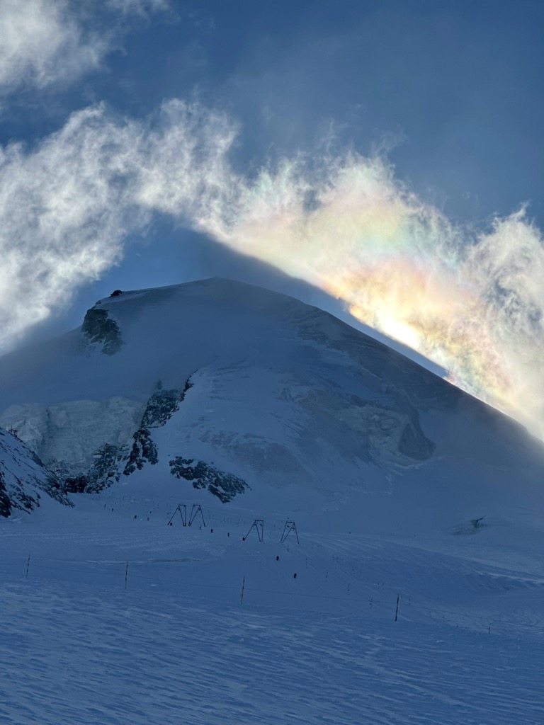
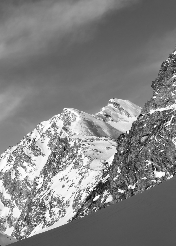
The Allalinhorn (4,027 m (13,212 ft)) is a mountain in the Pennine Alps in Switzerland. It lies between Zermatt and Saas-Fee in the canton of Valais, and is part of the Mischabel range, which culminates at the Dom (4,545 m).
It was first climbed by London barrister Edward Levi Ames, a member of the Imseng family and Franz-Josef Andenmatten on 28 August 1856.
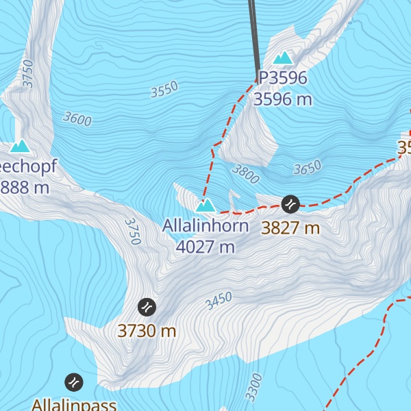
The building of the Metro Alpin funicular to the Mittelallalin (3456 m) just below the north-east face has turned the mountain into one of the easiest and popular 4000-metre peaks of the Alps, when climbed by the standard route (WNW Ridge, difficulty Grade F). On the normal route, climbers can ride up to the Mittelallalin; from there, there are only about 500 vertical metres to tackle. However, even the 'easiest' route still has objective dangers from crevasses and should not be attempted by inexperienced mountaineers without a mountain guide or adequate crevasse rescue training.
There's an alpine trail (T4) called Allalinhorn Normalweg leading to the summit.
By elevation Allalinhorn is
# 60 out of 1787 in Valais/Wallis # 49 out of 345 in Visp # 63 out of 10817 in Switzerland # 58 out of 2009 in the Pennine Alps
We use GPS information embedded into the photo when it is available.
3D mountains overlay
Adjust mountain panorama to perfectly match your photos because recorded by camera photo position might be imprecise.
Move tool
Rotate tool
Zoom
More customization
Choose which peak labels should make into the final photo and what photo title should be.
Next
Photo Location
Satellitte
Flat map
Relief map
Latitude
Longitude
Altitude
OR
Latitude
°'''
Longitude
°'''
Apply
Register Peak
Peak Name
Latitude
Longitude
Altitude
Register
Teleport
PeakVisor
This 3D model of Sagarmatha National Park in Nepal was made using the PeakVisor app topographic data. The mobile app features higher precision models worldwide, more topographic details, and works offline. Download PeakVisor maps today.
Download OBJ model
PeakVisor
The download should start shortly. If you find it useful please consider supporting the PeakVisor app.
PeakVisor for iOS and Android
Be a superhero of outdoor navigation with state-of-the-art 3D maps and mountain identification in the palm of your hand!