Algonquin Peak is a mountain in the MacIntyre Range of the Adirondacks in the U.S. state of New York. It is the second highest mountain in New York, with an elevation of 5,114 feet (1,559 m), and one of the 46 Adirondack High Peaks. It is located in the town of North Elba in Essex County and in the High Peaks Wilderness Area of Adirondack Park. The first recorded ascent of the mountain was made on August 8, 1837, by a party led by New York state geologist Ebenezer Emmons. It was originally named Mount McIntyre, after Archibald McIntyre, but this name was eventually applied to the entire range. Surveyor Verplanck Colvin added the name "Algonquin" in 1880. This name came from the peak reputedly being on the Algonquian side of a nearby informal boundary between the Algonquian and their Iroquois neighbors, although no such boundary existed in reality.
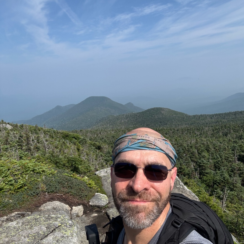
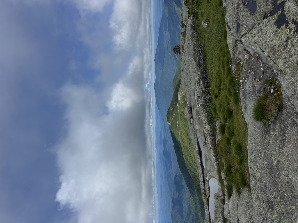
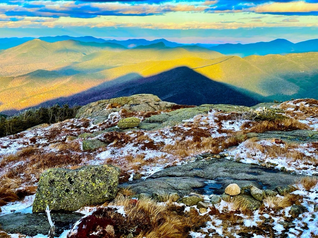
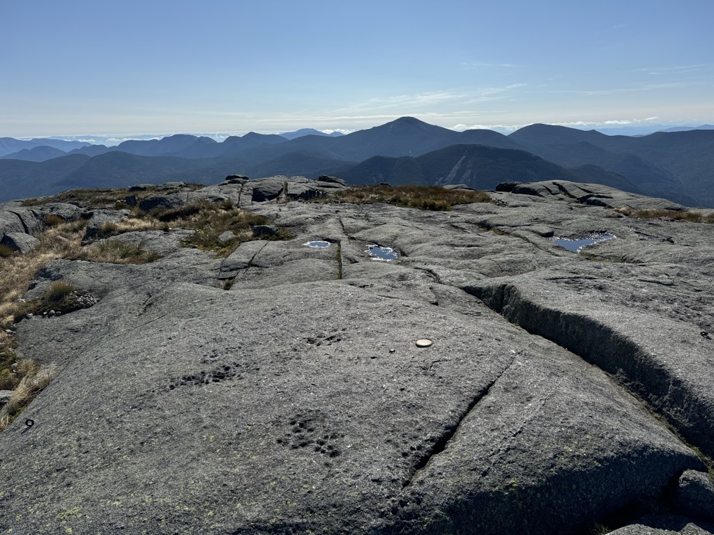
Algonquin Peak is accessible from two trails. Starting at the Adirondak Loj outside Lake Placid, the mountain can be approached from the north by following the blue-blazed Van Hoevenberg Trail 1.0 mile (1.6 km) to its junction with the yellow-blazed MacIntyre Range Trail. That trail continues the remaining 3.3 miles (5.3 km) to the summit, during which the route gets progressively steeper and rockier. The total distance is 4.3 miles (6.9 km) for an elevation gain of 2,936 feet (895 m). The mountain can also be approached from the southeast via an even steeper trail which begins at Lake Colden, which rises 2,350 feet (720 m) in just 2.1 miles (3.4 km). From the summit, an unmarked trail leads 1.1 miles (1.8 km) southeast to nearby Boundary Peak and Iroquois Peak. A trail to Wright Peak forks from the yellow trail 0.9 miles (1.4 km) below the summit. The mountain's summit is above tree line. Views of the surrounding peaks are available in all directions, with particularly good views available of nearby Mount Colden and Lake Colden. Algonquin is increasingly popular with hikers, with a 2021 study by Otak observing significant crowds on the summit of the mountain on popular summer days.
An area of 23.5 acres (9.5 ha) surrounding the summit is an alpine tundra zone, the largest found in the Adirondacks. This area is home to many arctic plants, including American dwarf birch, bearberry willow, black crowberry, Bog bilberry, Cutler's alpine goldenrod, Diapensia, Lapland rose-bay, and low rattlesnake root, and contains a prominent bog. The large numbers of hikers on the summit have in the past caused damage to the fragile plant life, and strict regulations have been put in place on the summit to protect it. Camping is prohibited above an elevation of 4,000 feet (1,200 m), hikers must remain on the trail in the alpine zone, and no dogs are allowed without a leash. The Summit Steward program places guides on Algonquin and other peaks to both remind hikers of these rules and educate them about the ecosystem.
There's a hiking trail (T2) called Algonquin Trail leading to the summit. Algonquin Peak is one of the 1 peaks along the Algonquin Trail.
By elevation Algonquin Peak is
# 3 out of 1601 in Adirondack Park # 3 out of 3825 in New York # 3 out of 126 in High Peaks Wilderness # 3 out of 591 in Essex County # 1 out of 10 in the Macintyre Mountains # 3 out of 1678 in the Adirondack Mountains
By prominence Algonquin Peak is
# 9 out of 1601 in Adirondack Park # 11 out of 3825 in New York # 4 out of 126 in High Peaks Wilderness # 6 out of 591 in Essex County # 1 out of 10 in the Macintyre Mountains # 9 out of 1678 in the Adirondack Mountains
We use GPS information embedded into the photo when it is available.
3D mountains overlay
Adjust mountain panorama to perfectly match your photos because recorded by camera photo position might be imprecise.
Move tool
Rotate tool
Zoom
More customization
Choose which peak labels should make into the final photo and what photo title should be.
Next
Photo Location
Satellitte
Flat map
Relief map
Latitude
Longitude
Altitude
OR
Latitude
°'''
Longitude
°'''
Apply
Register Peak
Peak Name
Latitude
Longitude
Altitude
Register
Teleport
PeakVisor
This 3D model of Sagarmatha National Park in Nepal was made using the PeakVisor app topographic data. The mobile app features higher precision models worldwide, more topographic details, and works offline. Download PeakVisor maps today.
Download OBJ model
PeakVisor
The download should start shortly. If you find it useful please consider supporting the PeakVisor app.
PeakVisor for iOS and Android
Be a superhero of outdoor navigation with state-of-the-art 3D maps and mountain identification in the palm of your hand!