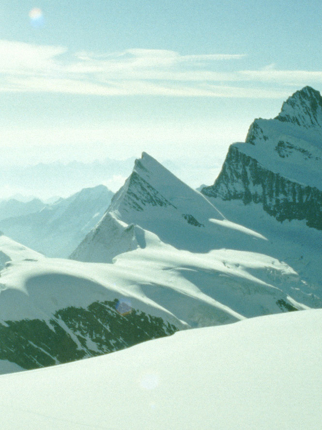
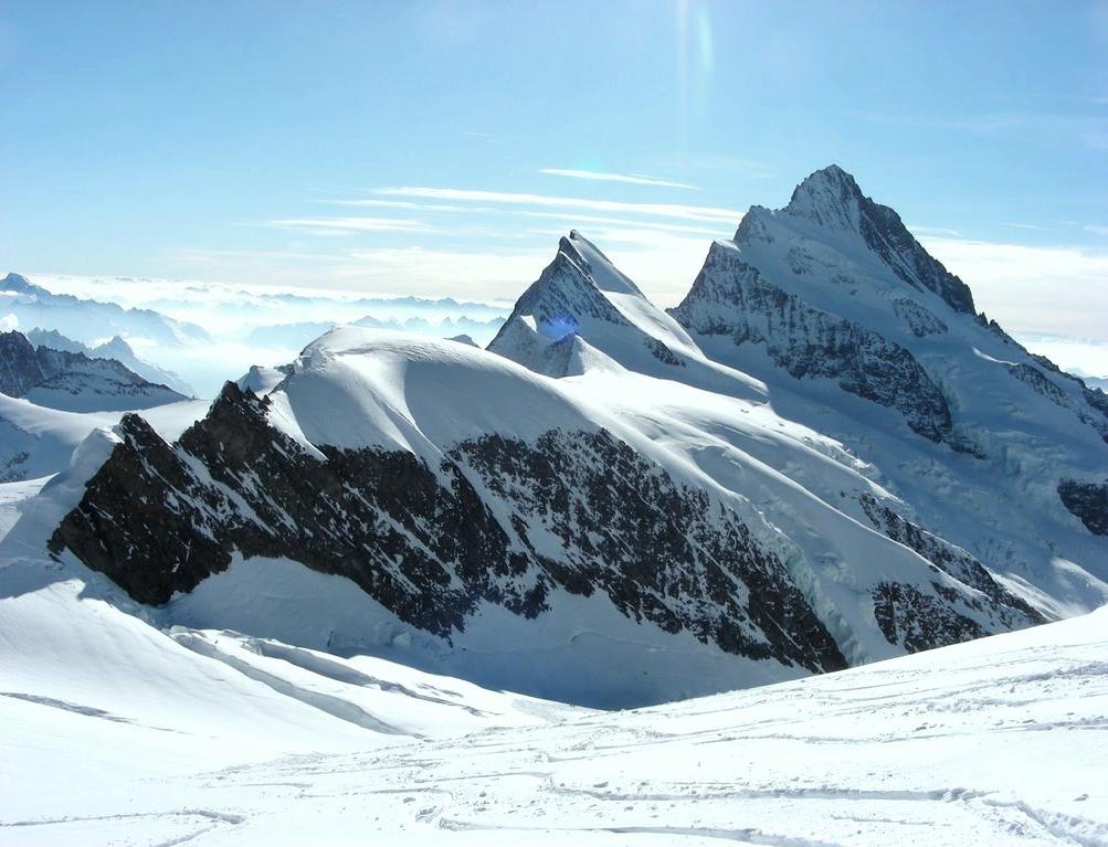
The Agassizhorn is a mountain of the Bernese Alps in Switzerland. It lies just north-west of the Finsteraarhorn, the main summit of the range. The Agassizhorn is the tripoint between the valleys of the Lower Grindelwald Glacier, the Unteraar Glacier and the Fiescher Glacier. Because the Lower Grindelwald and Unteraar glaciers drain into the Aar and hence the Rhine and North Sea, whilst the Fiescher glacier drains into the Rhone and hence the Mediterranean Sea, the Sidelhorn lies on the European continental divide.
Administratively, the summit is shared between the municipalities of Grindelwald, to the north-west, Guttannen, to the north-east, and Fieschertal, to the south. Grindelwald and Guttannen are in the canton of Bern, whilst Fieschertal is in the canton of Valais.
The mountain was named after the Swiss geologist and explorer Louis Agassiz.
By elevation Agassizhorn is
# 11 out of 567 in Verwaltungskreis Interlaken-Oberhasli # 11 out of 1615 in Bern # 76 out of 1787 in Valais/Wallis # 12 out of 238 in Goms # 84 out of 10817 in Switzerland # 15 out of 1128 in the Bernese Alps
By prominence Agassizhorn is
# 43 out of 567 in Verwaltungskreis Interlaken-Oberhasli # 31 out of 238 in Goms # 95 out of 1128 in the Bernese Alps
We use GPS information embedded into the photo when it is available.
3D mountains overlay
Adjust mountain panorama to perfectly match your photos because recorded by camera photo position might be imprecise.
Move tool
Rotate tool
Zoom
More customization
Choose which peak labels should make into the final photo and what photo title should be.
Next
Photo Location
Satellitte
Flat map
Relief map
Latitude
Longitude
Altitude
OR
Latitude
°'''
Longitude
°'''
Apply
Register Peak
Peak Name
Latitude
Longitude
Altitude
Register
Teleport
PeakVisor
This 3D model of Sagarmatha National Park in Nepal was made using the PeakVisor app topographic data. The mobile app features higher precision models worldwide, more topographic details, and works offline. Download PeakVisor maps today.
Download OBJ model
PeakVisor
The download should start shortly. If you find it useful please consider supporting the PeakVisor app.
PeakVisor for iOS and Android
Be a superhero of outdoor navigation with state-of-the-art 3D maps and mountain identification in the palm of your hand!