
Scan the QR code and open PeakVisor on your phone
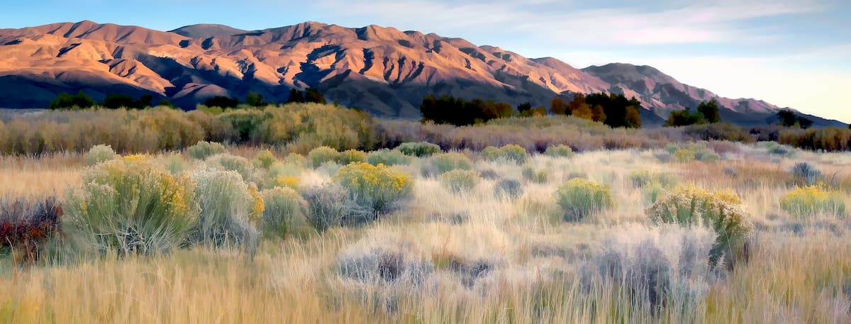
Established in 2009, the White Mountains Wilderness protects one of the largest and highest desert mountain ranges in North America. Managed jointly by the Inyo National Forest and Bureau of Land Management, the White Mountains Wilderness covers 228,454 acres along the eastern boundary of California, from Boundary Peak to Bishop, California.
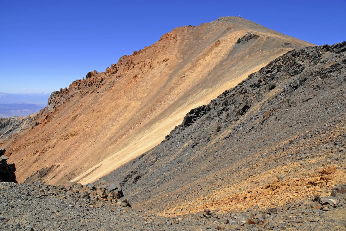
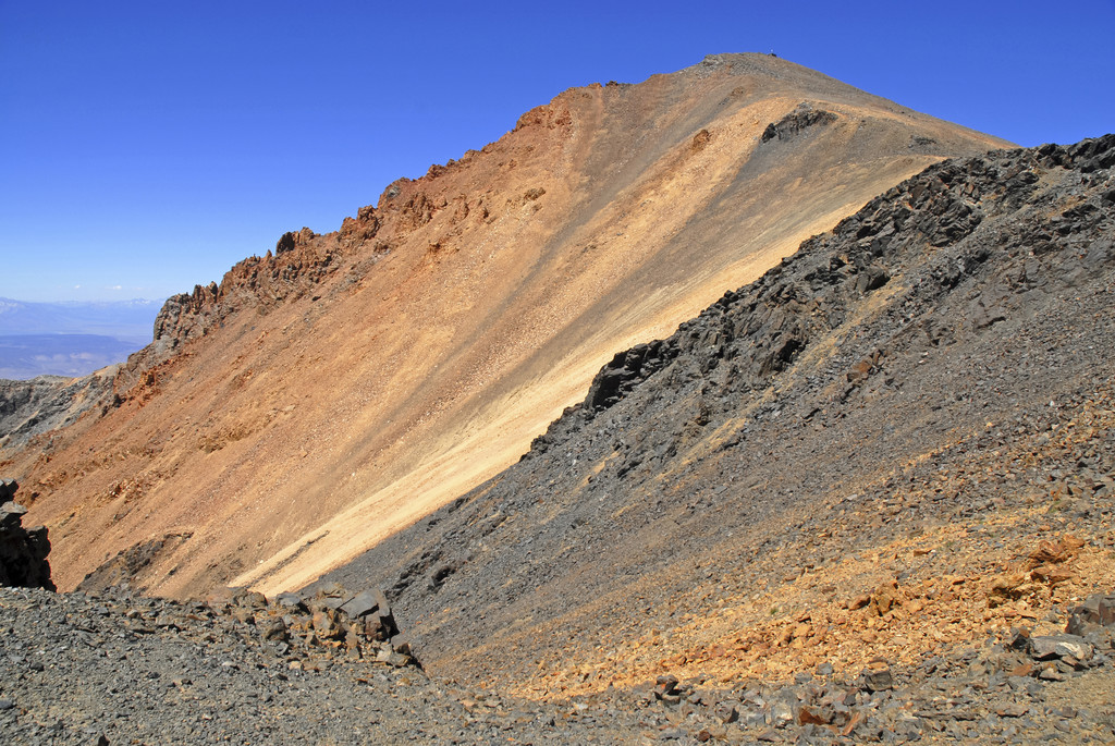
Summits in the White Mountains Wilderness rise abruptly from the desert floor, reaching elevations over 14,000 feet. The tallest in the area, White Mountain Peak, reaches an impressive 14,232 feet and is the fourteenth most topographically prominent peak in the contiguous United States. In fact, White Mountain Peak is just a few hundred feet lower than Mount Whitney. Nearby, noteworthy White Mountain peaks, including Mount Dubois, The Jumpoff, and Montgomery Peak, reach over 13,000 feet in elevation.
Geologically, the White Mountains are a series of triangular fault-block mountains that have formed as a result of rifting, or the pulling apart of two tectonic plates. These Great Basin summits differ greatly from the nearby Sierra Nevada mountains, both in climate and structure.
The White Mountains Wilderness also contains Cottonwood Creek, a Wild and Scenic River that flows southeast from the crest of the White Mountains into the Great Basin Desert. Cottonwood Creek is known for its outstanding scenic, recreational, wildlife, and ecological values. The creek sustains more than 70 species of birds, as well as rare Paiute cutthroat trout.
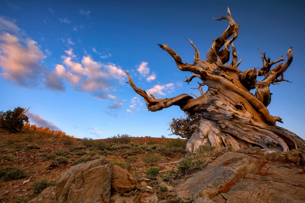
The region’s steep terrain, rolling plateaus, and deep canyons are the ideal habitat for desert bighorn sheep, pronghorn antelope, and mule deer. The wilderness supports roughly 1,000 native species and varieties of plants, including ancient bristlecone pines, the oldest living trees on earth.
Despite its proximity to popular parks and towns, the White Mountains region receives far fewer visitors than nearby Eastern Sierra attractions. Unsurprisingly, this stretch of remote, undeveloped wilderness is well-liked by avid backpackers and hikers seeking solitude in the backcountry.
White Mountain Peak is a popular trek for avid hikers and peak baggers in the Owens Valley area. Just a few hundred feet shorter than nearby Mount Whitney, White Mountain Peak is the perfect consolation prize for hikers that aren’t able to score a permit for the tallest peak in the lower 48, but still want to bag a ‘14er.’
The trail to White Mountain Peak is located on the Bristlecone Pine Forest Scenic Byway, an old dirt road that begins in the Owens Valley and ends at the Patriarch Grove.
Even though this peak is known as California’s “easiest” peak over 14,000 feet, it’s not a total walk in the park. The most popular path to the summit, the South Face gains roughly 3,360 feet over the course of 15 miles and can take anywhere from 8 to 9 hours to complete.
Arguably one of the most unique features of the White Mountains region, the Ancient Bristlecone Pine Forest is home to the oldest trees in the world.
The forest is relatively remote, but the Schulman Grove Visitor Center offers visitors plenty of information on the trees and their history. Several trails lead directly from the visitor center, including the 1-mile Discovery trail, 4.5-mile Methuselah trail, and 3.5-mile Bristlecone Cabin trail. All of these trails offer scenic views of ancient bristlecone pine trees and the surrounding wilderness.

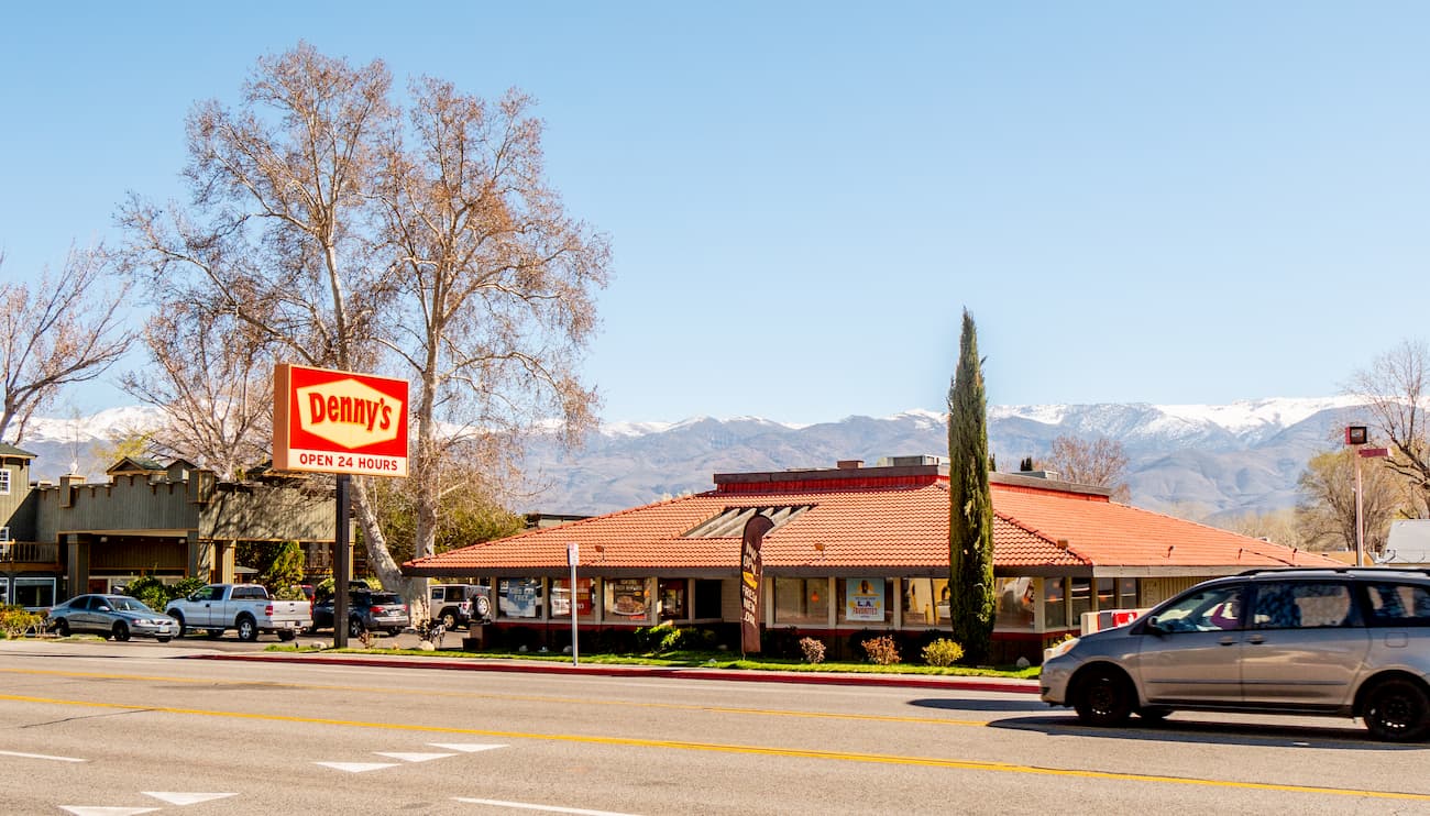
Home to just 3,700 people, Bishop is the most populated city in Inyo County. Bishop is known as a ‘small town with a big backyard,’ for a reason. The town sits just outside of the Eastern High Sierra and ideal for anyone looking for an epic alpine adventure. Mt. Whitney, Bishop Creek Canyon, and Alabama Hills are all accessible from Bishop. The charming town houses dozens of hotels, cabins, and Inns, as well as a variety of restaurants, shops, and heritage sites.


14er
ultra
california-13ers
las-vegas-mountaineers-classics
porcella-burns
western-state-climbers
western-state-climbers-star
desert-summits-book
sierra-club-desert
great-basin
great-basin-star
california-ultras
california-13ers
western-state-climbers
western-state-climbers-emblem
desert-summits-book
sierra-club-desert
13er
las-vegas-mountaineers-classics
western-state-climbers
western-state-climbers-star
desert-summits-book
sierra-club-desert
desert-peaks-section-emblem
great-basin
14er
ultra
california-13ers
las-vegas-mountaineers-classics
porcella-burns
western-state-climbers
western-state-climbers-star
desert-summits-book
sierra-club-desert
great-basin
great-basin-star
california-ultras
13er
las-vegas-mountaineers-classics
western-state-climbers
western-state-climbers-star
desert-summits-book
sierra-club-desert
desert-peaks-section-emblem
great-basin


