Get PeakVisor App
Sign In
Search by GPS coordinates
- Latitude
- ° ' ''
- Longitude
- ° ' ''
- Units of Length

Yes
Cancel
❤ Wishlist ×
Choose
Delete
Sai Kung West Country Park is a secluded sanctuary of wild terrain in the Hong Kong Special Administrative Region of China. There are 25 named peaks in the park. The highest and the most prominent of them is Shek Uk Shan (481 m/ 1,578 ft).
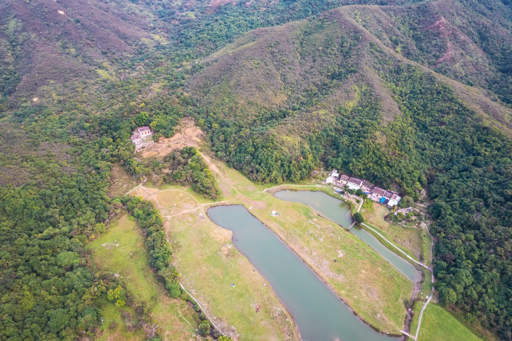
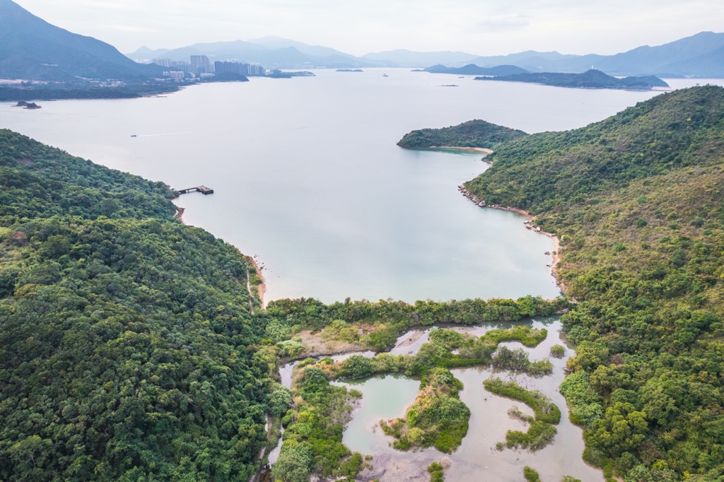
Sai Kung West Country Park is an expanse of 3,000 hectares (7,143 acres) located in Sai Kung district in the eastern part of Hong Kong. After it was designated in 1978, a peninsula off the northeastern end was designated in 1996 as Sai Kung West Country Park (Wan Tsai Extension), adding another 123 hectares (304 acres) though it is managed as a separate entity.
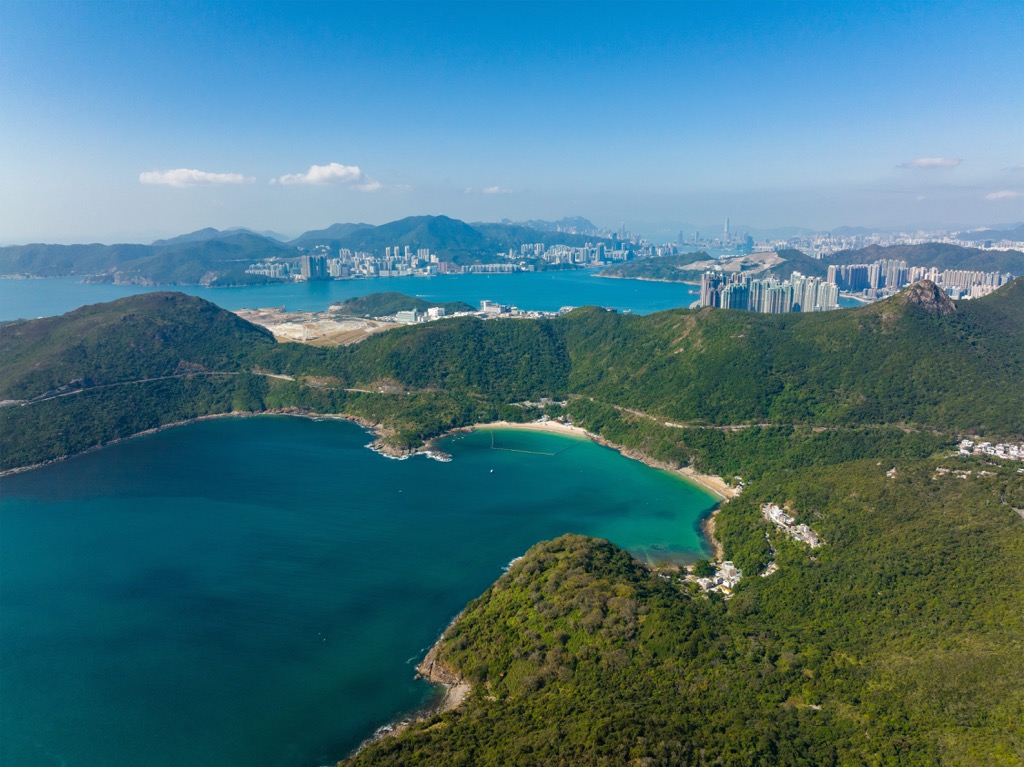
The park borders Sai Kung East Country Park to the east and Ma On Shan Country Park to the west. The northern and southern sides meet the sea. Opposite Tolo Channel in the north is yet another country park—Plover Cove Country Park.
The area is a major destination for outdoor activities as there are numerous campsites, outdoor training centers and holiday villages within the park and in the vicinity. The Wan Tsai Extension is especially popular for wild camping.
The area is part of the Sai Kung Volcanic Rock Region which makes up half of the Hong Kong UNESCO Global Geopark. Most of it was formed some 140 million years ago during a major volcanic episode featuring a supervolcano with an 18-kilometer (11-mile) caldera.
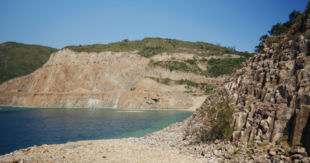
The most interesting geosite in the park is Lai Chi Chong in the northern end on the coast of Tolo Channel. It is an area with complex geological formations and a variety of rock types, including volcaniclastic sedimentary rocks and sedimentary rocks from the Late Jurassic, as well as tuff produced by the compaction of volcanic ash.
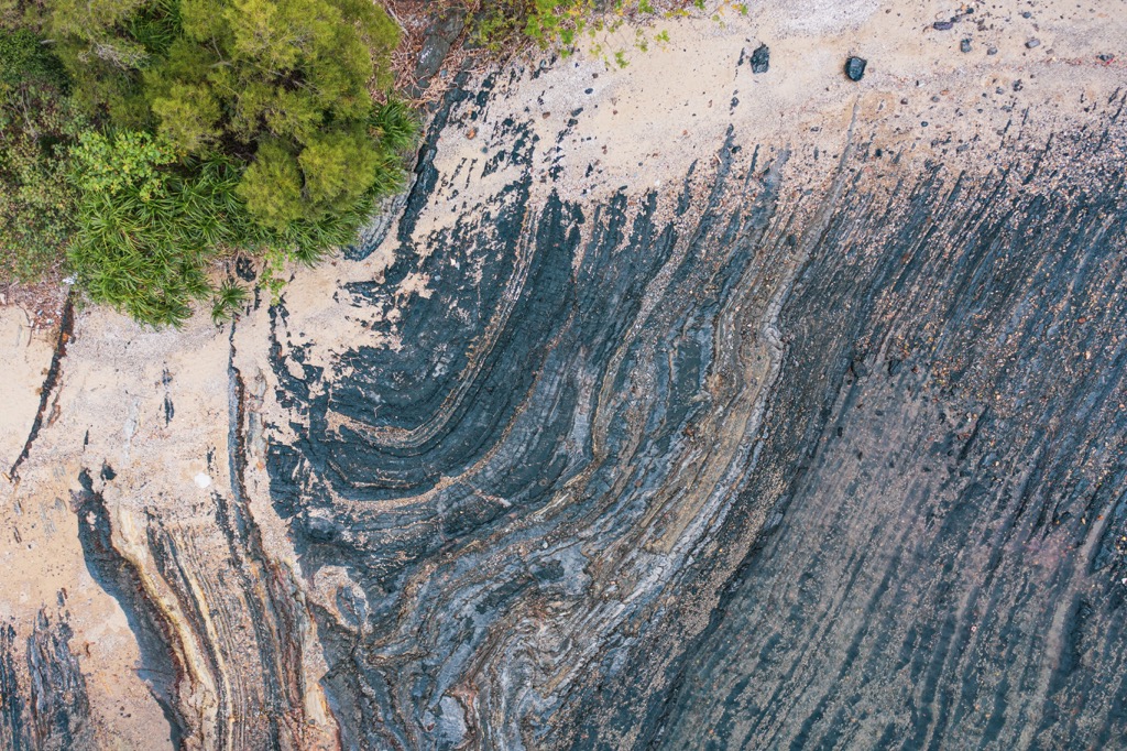
The volcaniclastic sedimentary rocks in Lai Chi Chong were originally deposits in a volcanic lake, where volcanic ash, organic matter and silt settled and gradually cemented into rocks. Known as tuffite, this rock type is a cross between tuff and conventional sedimentary rock, which is quite rare in Hong Kong.
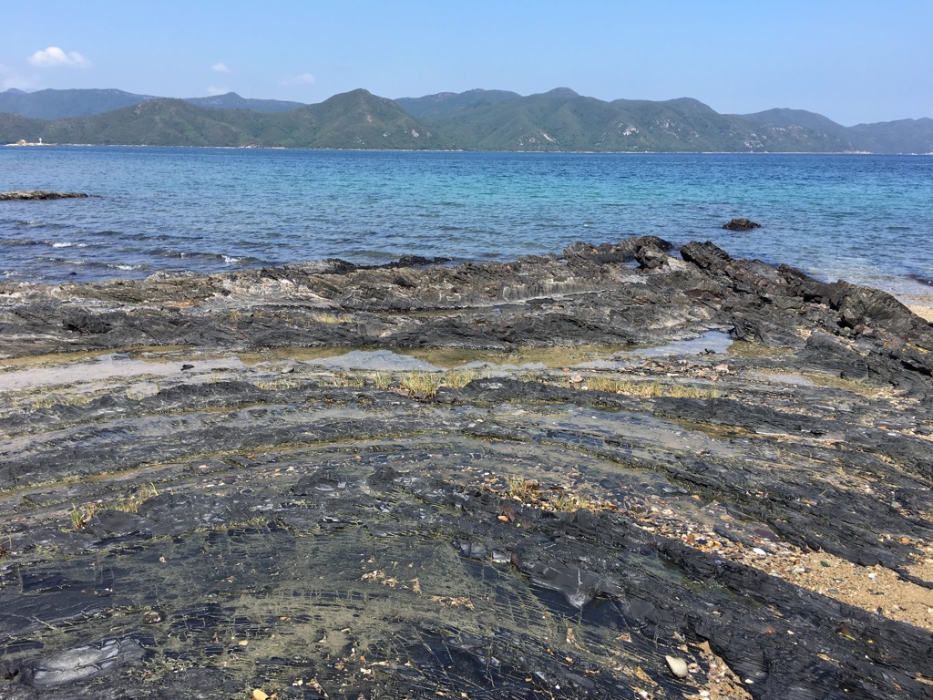
Another unusual geological feature is loose sedimentary structures that come about as a result of debris flows triggered by earthquakes, when sediments in a lake are not entirely cemented. This causes the sediments to slump and deform.
If an earthquake occurs when the lower and upper parts of a sediment layer are almost consolidated while the middle section is still in a plastic state, the layer becomes convoluted.
If the whole sediment layer is still loose, an earthquake will cause the rock to slump and contort, eventually becoming folds. If the whole layer is already cemented, the rock will fracture into faults.
The most well-known feature in Lai Chi Chong is the Giant’s Washboard, a large fold that may be a product of an underwater slump. It resembles corrugated waves because different materials in the layers weather at various speeds, raising some layers and depressing others.
The park boasts a rich diversity of native trees such as ivy tree (Schefflera heptaphylla), fragrant litsea (Litsea cubeba) and Chinese tallow tree (Sapium sebiferum). The shore is interspersed with mangrove beds.
The Wan Tsai Extension used to be a borrow site but was then reforested, firstly with plantation species like slash pine (Pinus elliottii), horsetail tree (Casuarina equisetifolia) and Taiwan acacia (Acacia confusa). Native species including rose myrtle (Rhodomyrtus tomentosa), myrobalan (Phyllanthus emblica) and dwarf mountain pine (Baeckea frutescens) were later added to the mix.
The park harbors rare tree species such as the incense tree (Aquilaria sinensis), which is found only in southern China. This tree is believed to be the origin of the city’s name, Hong Kong, which literally means “fragrant harbor”.
Highly prized for its fragrant resinous substance called agarwood, the incense tree is threatened by poaching that has led to a rapid decline in its numbers.
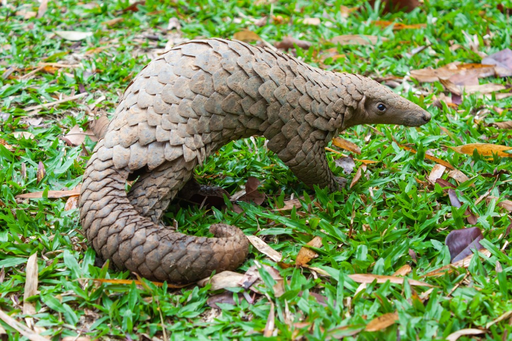
The dense woodlands shelter a variety of birds such as the night heron, grey-streaked flycatcher and emerald dove, as well as mammals like the leopard cat, Chinese pangolin and masked palm civet.
The plateau at Cheung Sheung in the center of the park is home to the only upland freshwater marsh in Hong Kong. It is a sanctuary for over 30 species of dragonflies and damselflies such as the rare milky dartlet. Amphibians like the Hong Kong whipping frog and three-striped grass frog also thrive there.
The coastal areas are tough for plants as the salinity makes it hard for them to retain water. It is especially challenging for fruiting plants which require a lot of water to produce the fruits necessary for reproduction.
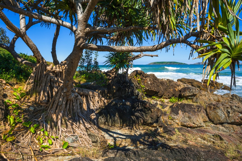
The Screw Pine (Pandanus tectorius), a plant commonly found in coastal Hong Kong, adapts by reducing the production of its pineapple-like fruits. It has aerial roots for respiration to make up for the lack of oxygen in the soil.
The coastal area of Hoi Ha on the northern side of the park is an official marine park with one of the most pristine environments in Hong Kong, with over 60 coral species and 120 coral related fish species. It also has a sizable mangrove community with six of the eight species of true mangroves found in Hong Kong.
The area is dotted with villages though many of them have been abandoned. The oldest ones date back several centuries. Villagers made a living by fishing, farming and lime production.
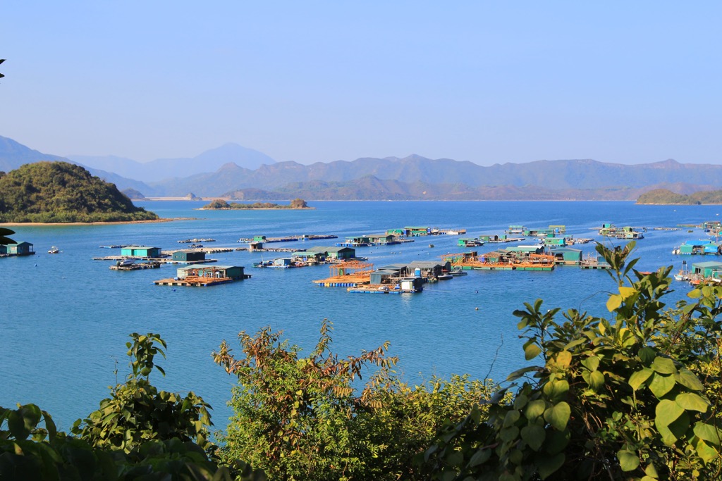
The abundance of marine resources along the coast gave rise to the production of lime, which was made by burning corals and shells in kilns. It used to be a common local industry in Sai Kung until the introduction of cement after World War II. Two kilns are preserved in the village of Hoi Ha.
Traditionally, people were accustomed to build villages in front of native woodlands which served to shelter houses from strong winds, protect slopes from erosion and reputedly block evil spirits. Fruit trees and other plants with economic/ medicinal value were cultivated on the edge, making these “enhanced” forests exceptionally rich in biodiversity.
Sai Kung was an important base for early Catholic missionaries, mostly Italians, who came to the area in the 1860s. They built small churches in many villages, some of which are now designated historic monuments.
Pak Sha O, one of the oldest villages, was founded in the early Ming Dynasty (1368-1644), and is one of the few villages that are still inhabited. Although it is geographically located in Sai Kung district, it is under the administration of Tai Po district, since historically the villagers used to commute to Tai Po by boat frequently.
Pak Sha O was a multi-clan village of ethnic Hakka people, but nowadays most of the residents are tenants, including quite a few expatriates who prefer countryside living. There is also a youth hostel in the vicinity.
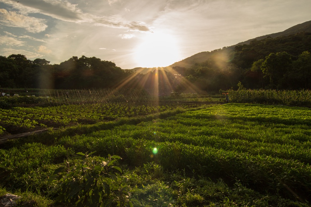
The architecture of the village is a mixture between the East and the West. The hundred-year-old Immaculate Heart of Mary Chapel stands alongside a traditional ancestral hall and village houses.
With its rugged landscape and sinuous coastline, Sai Kung West Country Park offers ample opportunities for hiking, camping and water sports. Here are some of its best trails and attractions.
Cheung Sheung is a plateau about 300 m (984 ft) above sea level at the intersection of many hiking trails. Tucked among Shek Uk Shan (481 m/ 1,578 ft), Ngam Tau Shan (453 m/ 1,486 ft) and Wa Mei Shan (391 m/ 1,283 ft), it affords excellent views of the rolling peaks.
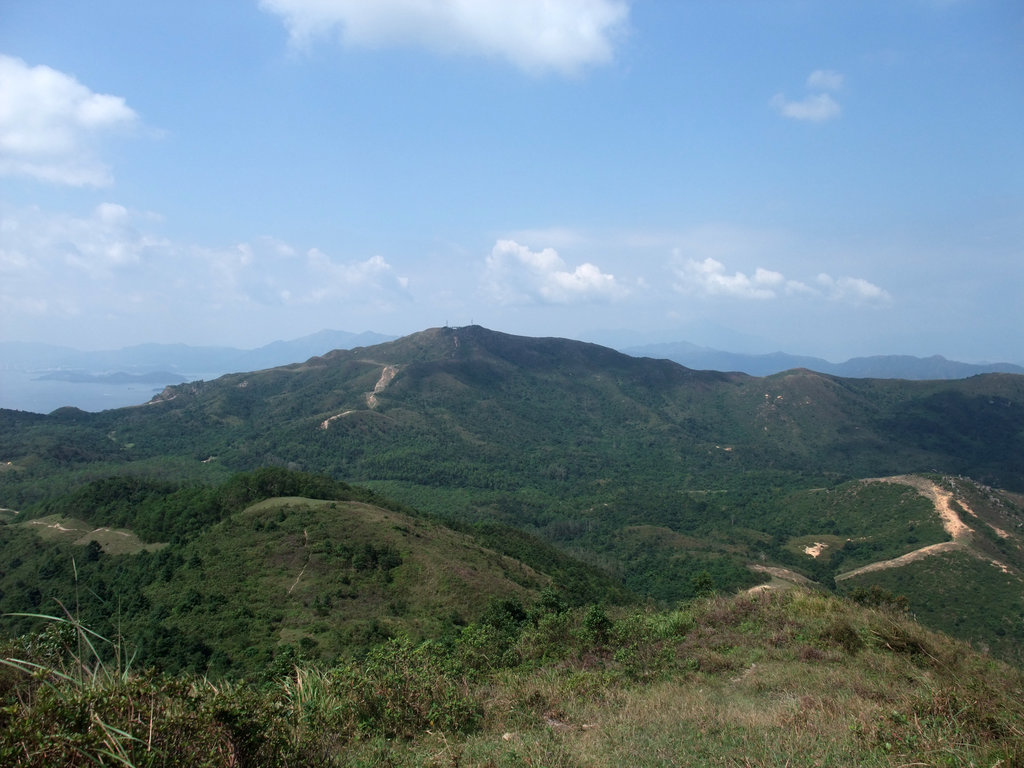
The plateau has a nice campsite on a grassland that is shared by a resident population of feral cattle, and there is a village with a single remaining household that runs a weekend snack store. To the west is a long flight of steps known as Jacob’s Ladder.
Lai Chi Chong is high in both ecological value and geological value. Lush mangroves thrive on the shallow shore while a number of unusual rock formations such as the Giant’s Washboard and quartz veins are connected by a short geological trail.
The area can be accessed by ferry though it is a pretty easy hike, and is often visited together with the old village of Pak Sha O and the idyllic settlement of Sham Chung.
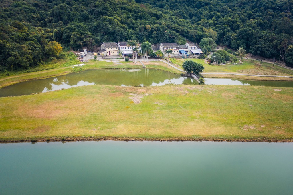
The unspoilt marine environment and calm waters of Hoi Ha makes it a premier site for kayaking, snorkeling and scuba-diving. A government-run visitor center and a marine center operated by WWF provide educational information about the area. The latter also offers glass-bottom boat rides.
Hoi Ha Village can be reached by minibus or a picturesque hike, mostly along the Tai Tan Country Trail, that passes by some beautiful beaches.
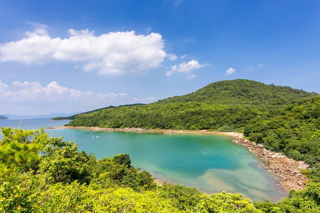
The extension park has a family-friendly nature trail with spectacular sea views. It is a circular route which used to be a vehicular road serving the former borrowing site. There are two well-equipped campsites that affors lovely vistas of not only the coast but also the night sky.
The gateway to the country parks on Sai Kung Peninsula is Sai Kung Town, a neighborhood which has mostly escaped the large-scale developments in urban areas. With its waterfront promenade and age-old villages, the town has a laid-back vibe even when it gets crowded with visitors on weekends and holidays.
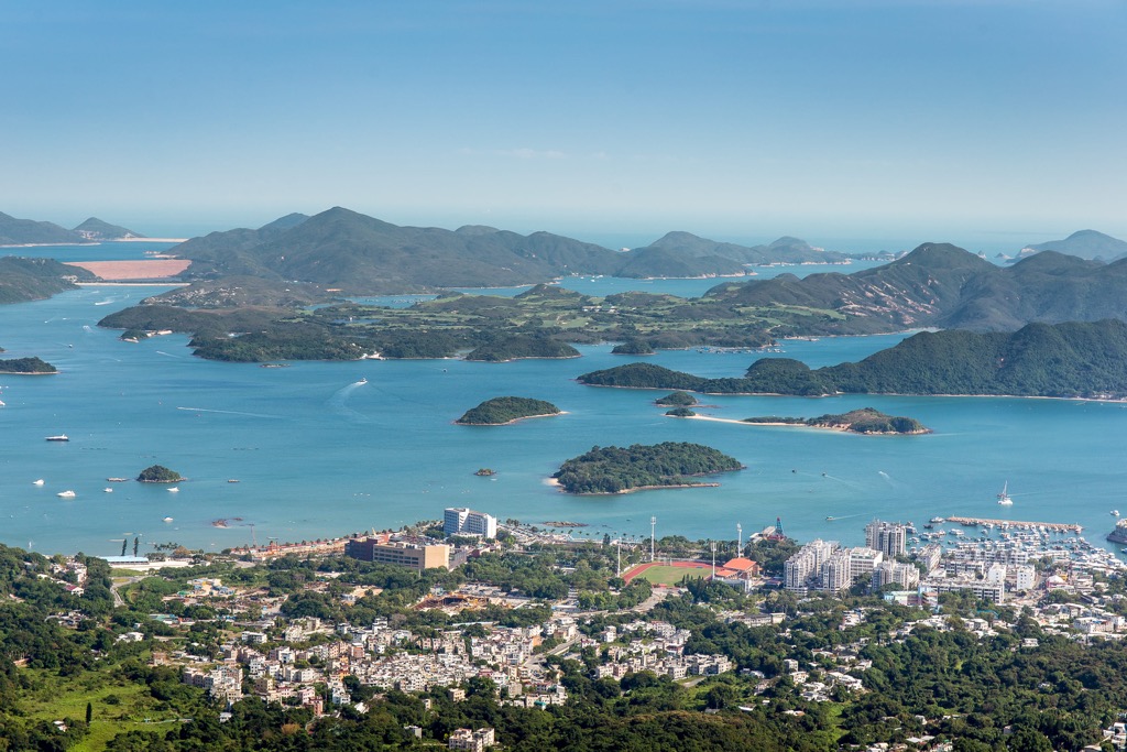
The promenade teems with seafood restaurants, specialty eateries and weekend markets which make it a destination in itself. The pier is lined with boat operators that offer sightseeing excursions and rides to the many offshore islands.
Explore Sai Kung West Country Park with the PeakVisor 3D Map and identify its summits.


