Get PeakVisor App
Sign In
Search by GPS coordinates
- Latitude
- ° ' ''
- Longitude
- ° ' ''
- Units of Length

Yes
Cancel
Share ×

Scan the QR code and open PeakVisor on your phone
❤ Wishlist ×
Choose
Delete
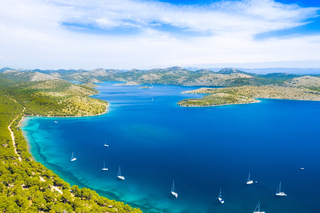
Nature Park Telašćica is a protected area on Dugi Otok Island in Croatia’s Adriatic Sea. It is the largest Adriatic bay, with numerous coves and capes, and is known for its high rock faces, lake, dolphins, and breathtaking beauty. There are 27 named peaks in Park Prirode Telašćica, with Mrzlovica (199 m/ 652 ft) being the highest point.
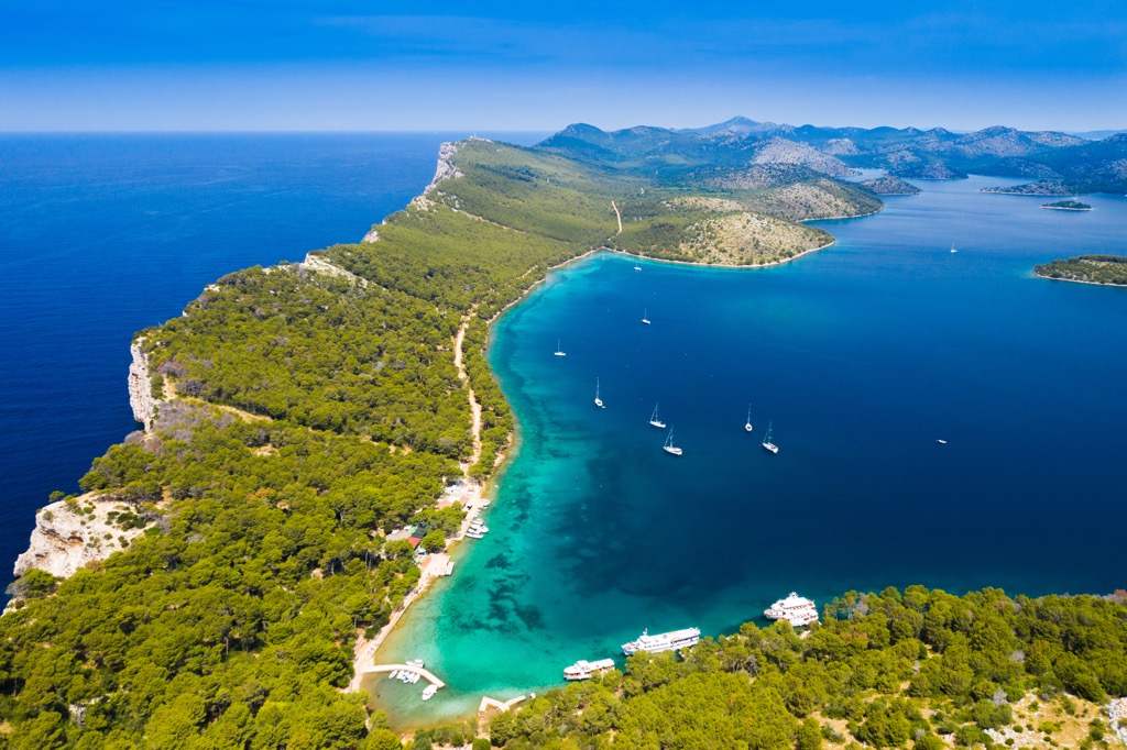
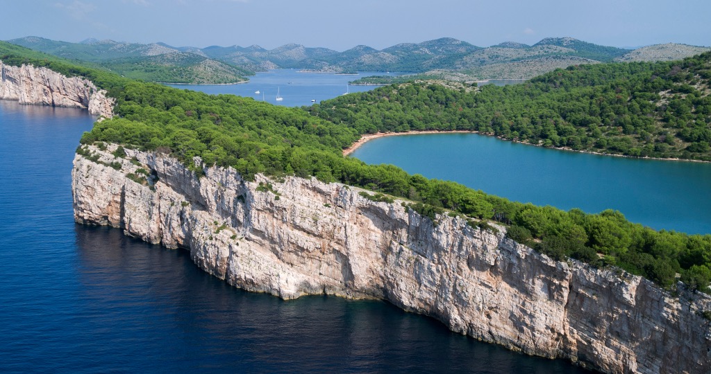
Telašćica Nature Park showcases three main phenomena: the Telašćica Bay, the largest and safest natural Adriatic harbor; the cliffs of Dugi Otok rising 200 m (656 ft) above sea level and descending 90 m (295 ft) into the depths; and Mir, the healing saltwater lake.
The park lies in the southeastern part of Dugi Otok island. Telašćica Bay is surrounded by 13 islands and islets, including Korotan, Galijola, Gozdenjak, Farfarikulac, Burnji Školj, and Donji Školj. Since 1980, it has been a protected area due to its geological, geomorphological, botanical, and zoological characteristics. Nearby are three Croatian national parks: Kornati, Krka, North Velebit, and Paklenica, as well as two nature parks: Vransko Jezero and Velebit.
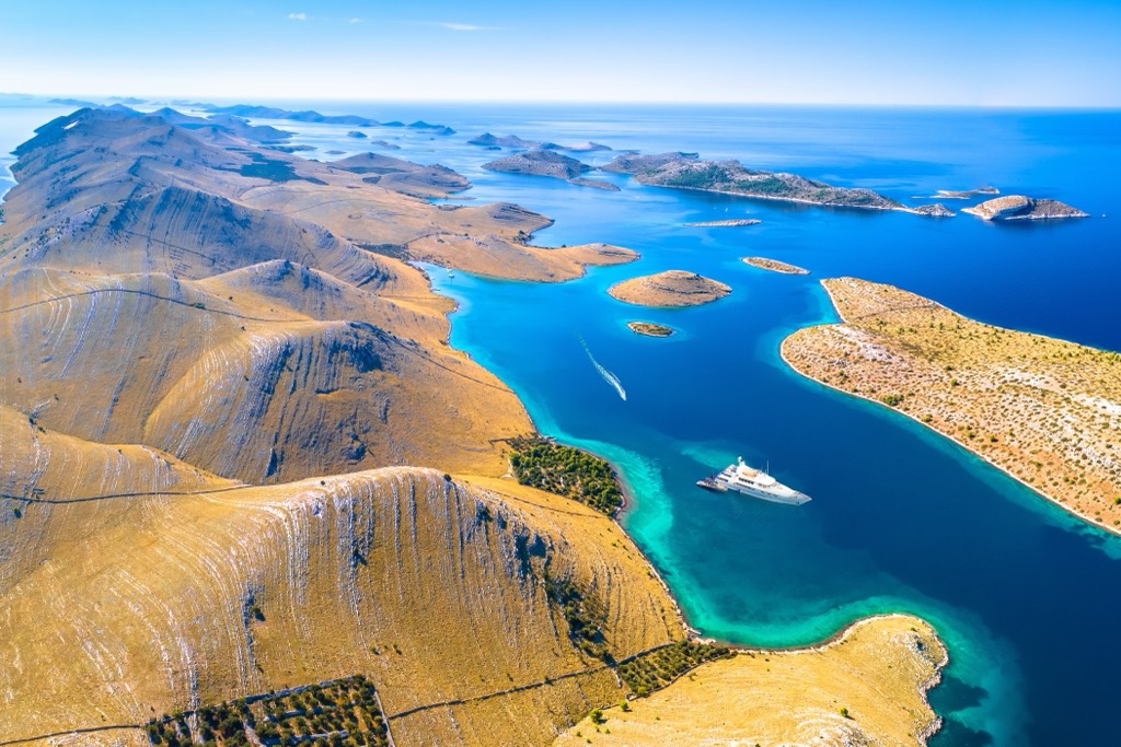
The park stretches for 10 km (6 mi) and is up to 2 km (1.2 mi) wide. The bay's shores are rocky, and the saltwater Jezero Mir (lit. Lake Peace) sits on the western coast. The tourist facilities are located in Mir Bay.
If you're observing the cliffs from a boat, turn off the engine. Bottlenose dolphins are frequent visitors to the surrounding waters of the Telašćica Nature Park. These rare creatures, the last marine mammals in the Adriatic, have little tolerance for the noise pollution caused by boat engines.
Telašćica is part of the Kornati archipelago. The southern part of Dugi Otok splits into two branches that extend towards the Kornati Islands, forming a vast bay with a coastline of 69 km (42 mi). Visitors can access the park through the land entrance at Dolac or by sea through the Vela Sestrica lighthouse and the passages of Vela and Mala Proversa.
You can reach Telašćica Nature Park by ferry or speedboat departing from Zadar several times a day (fast line Zadar-Sali-Zaglav; ferry line Zadar-Brbinj). However, most people prefer booking a boat excursion to the park. These boats usually depart from Zadar, Biograd, Pašman, and Ugljan. You can also rent a boat and visit the park independently. You will need a ticket to enter, purchased at the entrance or through an agency in the town of Sali.
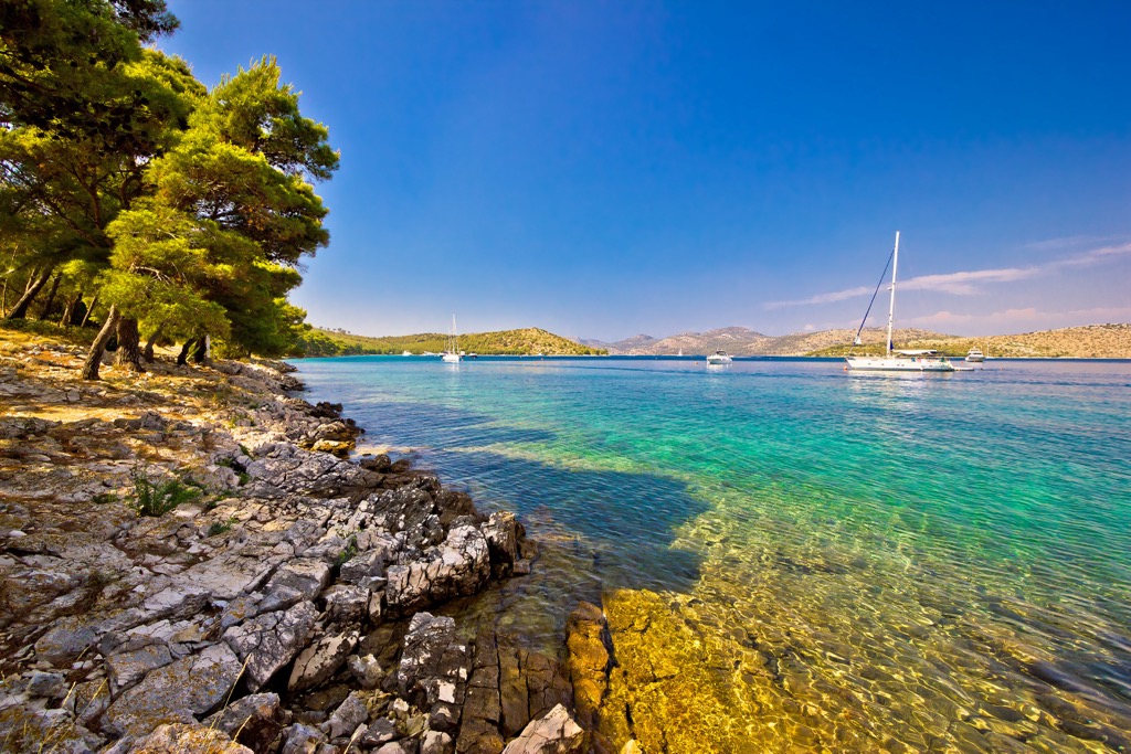
The vertical cliffs known as Stene on the island of Dugi Otok are the most impressive feature on the outer side of Telašćica Bay Nature Park. These cliffs are the highest and most prominent on the Adriatic, reaching a height of 161 m (528 ft) at Grpašćak, with a maximum sea depth of up to 85 m (278 ft). Upon closer observation, visitors will see that the surface is not flat but typical of karst formations, scared by a patina of cracks, protrusions, pillars, and other indescribable shapes.
With a breathtaking view of dozens of islets scattered around the nearby Kornati islands, the cliffs extend for kilometers along the open sea coast and continue beyond the boundaries of Telašćica Nature Park. They culminate in the Gračini cliff, which rises as high as 208 m (682 ft) above the sea. From there, they gradually decrease towards the south and disappear beneath the sea.
The unique beauty of the Telašćica cliffs results from geological forces that have creatively shaped them over millions of years. The rocks' type, composition, and position can trace their formation history. Here, the geological history begins in the Lower Cretaceous when the oldest dolomites were deposited on the seafloor. Over time, these sediment layers grew, ultimately emerging during the convergence between the African and European tectonic plates and the shrinking of the ancient Tethys Ocean, of which the Mediterranean Sea is now a remnant.
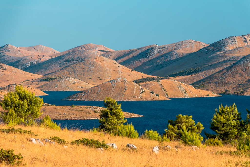
Tectonic movements have altered the original simple structure of the seabed, folding and gradually uplifting it above the ocean surface. Faults played a significant role, causing layers to crack, slide, and collapse. Telašćica acquired its present-day appearance at the end of the last ice age when the sea level rose, flooding the lower parts of the then-existing landmass that occupied large areas of the Adriatic.
Numerous islets of the Kornati archipelago now protrude from the sea along the former hillscape. The island of Kornat was connected to the mainland until around 9,000-10,000 years ago and to Dugi Otok until approximately 2,100-2,400 years ago, during ancient Greek civilization. The uplifted limestone islands, exposed to the relentless force of water, have developed a typical karst landscape with cliffs, sinkholes, boulders, and caves.
The submarine area of Telašćica has a rich biodiversity, showcasing 318 types of algae out of the total of 638 found in the eastern Adriatic. Divers are attracted to this underwater world's vibrant colors and unique shapes. Some caves have impressive entrances below the sea surface. The surrounding area is adorned with beautiful cultivated meadows and rich Mediterranean vegetation, consisting of around 500 plant species, while the sea is home to over 600 plant and animal species.
The region boasts favorable climatic conditions, with over 2,500 hours of sunshine per year, an average January temperature above 7°C, and an average annual temperature exceeding 16°C. The marine plant world includes diverse algae and seagrass species that play a vital role in the ecosystem by producing oxygen and providing shelter and food for animals.
A notable alga species is the red limestone alga Goniolithon byssoides, which is rare in the Adriatic. Dense meadows of the invasive tropical red algae Womersleyella setacea have been found in Grpašćak, Mir, and Mala Prisika. Other algae species along the coast include Padina pavonica, Dictyota dichotoma, Laurentia obtusa, Cystoseira sp., and Acetabularia acetabulum.
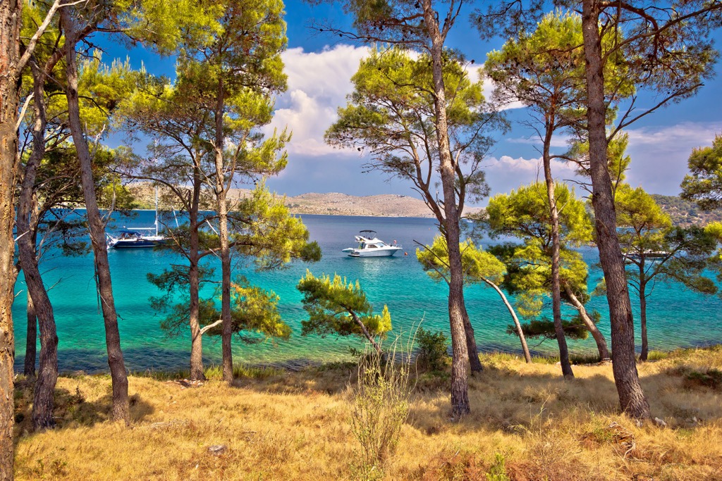
The bay of Telašćica is significant for three strictly protected seagrass species: Posidonia oceanica, Cymodocea nodosa, and Zostera noltii. Posidonia oceanica meadows are endangered and cover the photophilic zone from about five to 20 - 25 m (65 - 82 ft) in depth.
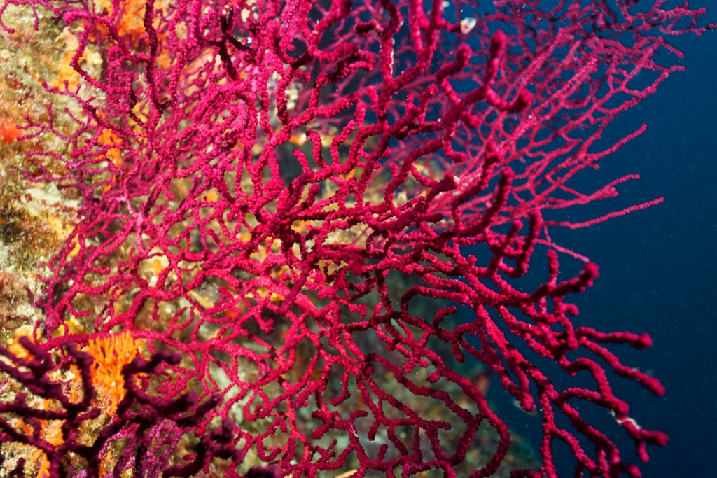
Telašćica is home to the bottlenose dolphin, often seen under the cliffs and occasionally entering the bay. The loggerhead turtle is the only recorded turtle species in the park. The protected red coral can be found in cliff cracks, while cushion coral grows in groups in the bay, creating reefs. The European eel lurks within the depths of the saltwater lake of Mir; its life cycle in the lake remains unknown.
Extensive research has been conducted on the terrestrial flora, ultimately identifying and mapping 532 plant species. Evergreen forests of Aleppo pine and holm oak have developed in the area due to climate conditions and human impact. Telašćica is home to endemic plants, such as the Centaurea ragusina ssp. lungensis, found exclusively on the island of Dugi Otok and the Kornati archipelago. Strict protection measures have helped preserve this species. The cliff-dwelling tree spurge (Euphorbia dendroides) is another notable plant, with the northernmost range in the Telašćica area.
The terrestrial part of the area has limited fauna due to the characteristic island vegetation and karst terrain. However, the butterfly population in Telašćica is remarkable, as well as the presence of 15 bird-of-prey species, including the endangered peregrine falcon. Around 490 animal species have been documented in the Park, many endangered and protected under Croatian law. Invertebrates are the most abundant group, comprising 339 species.
Thirteen reptile species include turtles, lizards, and snakes. The Mediterranean house gecko is common around homes and is highly nocturnal. The Dalmatian and Italian wall lizards are the most frequently encountered species. Six snake species, none of which are venomous to humans, inhabit the island of Dugi Otok.
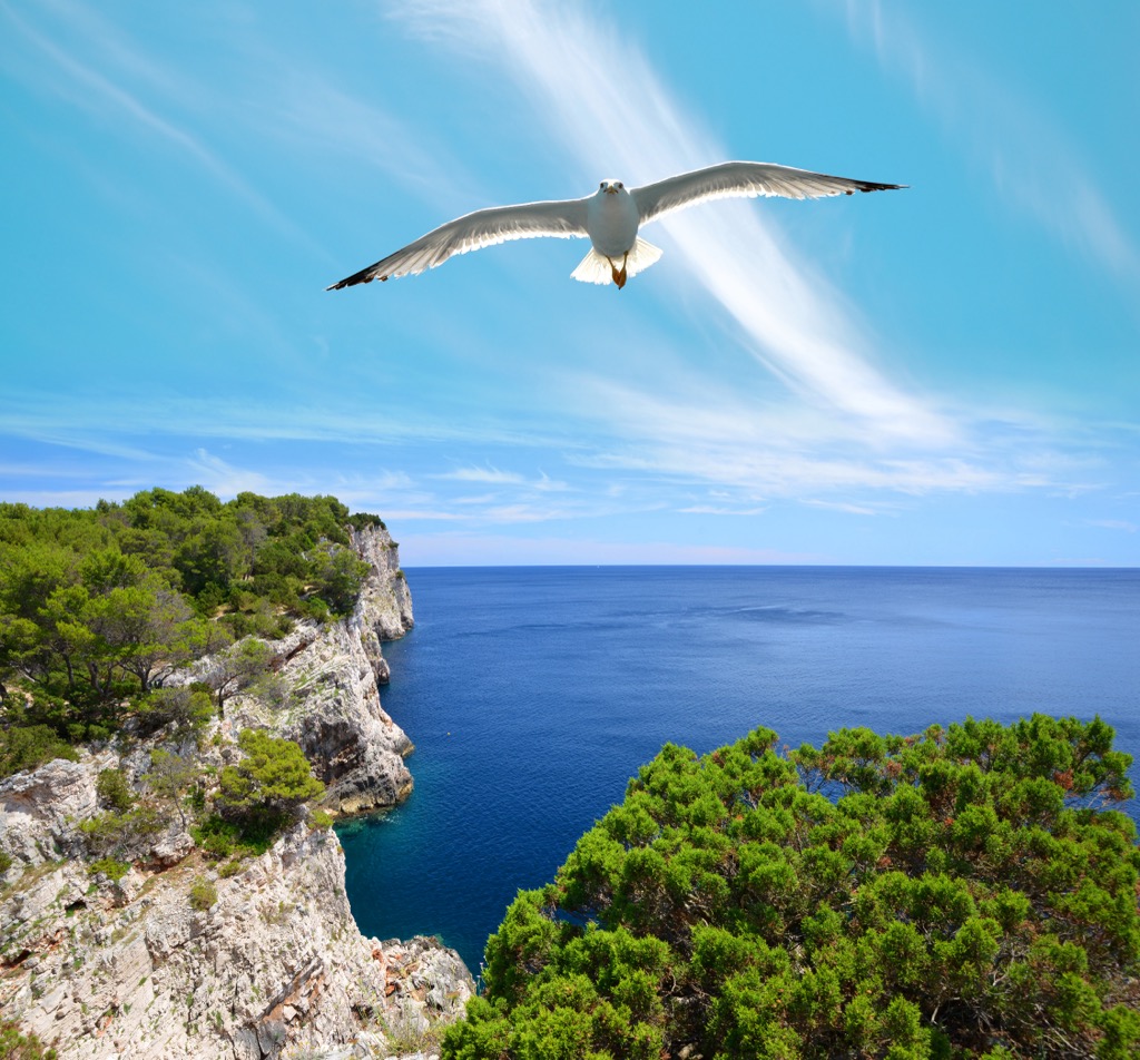
Birds are the most prominent terrestrial vertebrates in the Park, with 115 species identified. The varied habitats provide nesting sites and resting places for birds. The cliffs are ideal for colonies of swifts. Several birds of prey, including the common kestrel, short-toed snake eagle, Eurasian sparrowhawk, and common buzzard, nest in the area.
Telašćica has a long history of human habitation. Evidence of H. sapiens neanderthalensis (Neanderthals) dates back to the Middle Paleolithic period (150,000-35,000 B.C.), with stone artifacts found at Dugo polje and Krševanj polje. The Bronze and Iron Ages saw the development of hill forts as the primary form of settlement. The area also contains Iron-Age hill forts, rectangular stone hovels, and grave tumuli. During Roman rule, hill forts were abandoned, and new fortifications were constructed in the lowlands and along the coast.
Croatia's oldest mention of fisheries is a historical document from 986-999. It is a deed of gift by the nobility of Zadar, granting fishing sites on the island of Molat and in the area of Telašćica to the Benedictine monastery of St. Chrysogonus.
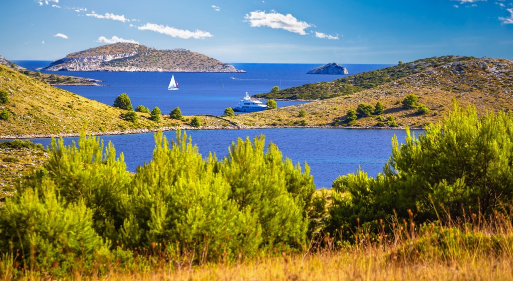
The fortification of Grpašćak, built in 1911 during the Austro-Hungarian era, served as a military lookout point for the Austro-Hungarian Navy. It was equipped with light weaponry and maintained contact with other strategic outposts through telephone and Morse code using light signaling.
At the beginning of the 20th century, when Sali had the highest population in the Telašćica area, around 400 ha (988 ar) of arable land was cultivated. Today, only half of the land is cultivated with olive trees and less than ten percent with vineyards and arable land. The remaining land in the park is used as pasture. The Agricultural Cooperative Sali from 1935 is a testament to the importance of agriculture, livestock farming, and fishing as the foundations of life. The cooperative operated until the end of 1971.
These are the hikes I recommend while visiting Park Prirode Telašćica:
Hike up to Grpašćak Fortress and enjoy an exceptional view of Telašćica and the cliffs of Dugi Otok. The trail leads along the edge of a high cliff, offering a breathtaking view of the open sea and abyss. The hike takes 5 km (3 mi) once you take the paved road from Sali.
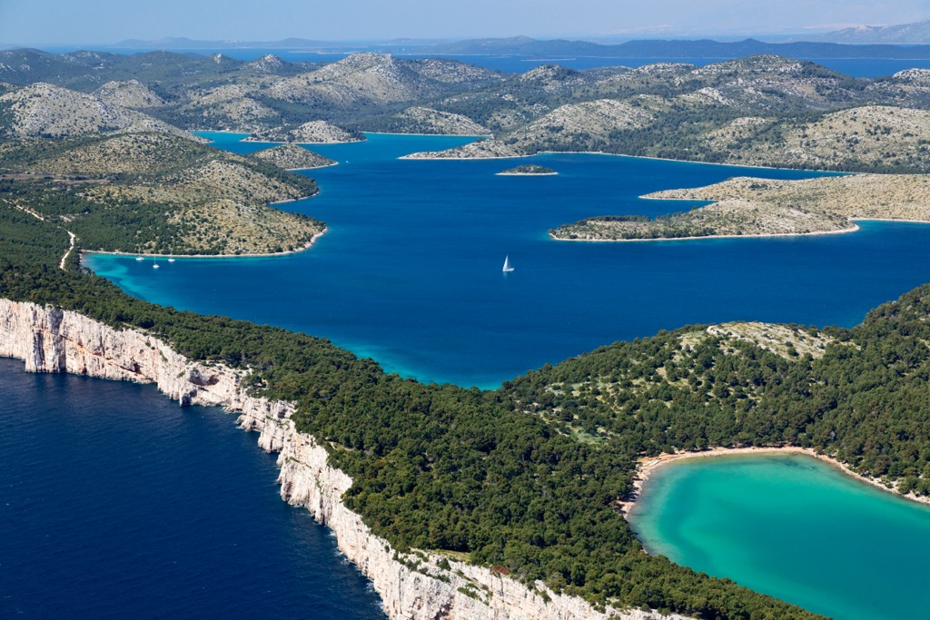
Golubinka Cave is in Brbiščica Bay. This magnificent cave conceals a beautiful beach within its depths. Light enters the interior through a narrow opening, refracting and illuminating the rocks, creating an extraordinary experience you must witness firsthand.
Once you descend to Brbiščica Bay, leave your belongings on the shore, and swim to the Golubinka Cave. While swimming, continue to the end of the cave to the beach. Imagine that! A beach inside a cave, with sunlight piercing through and creating a marvelously blue sea color.
Orljak (114 m/ 374 ft) is the highest peak of Dugi Otok island, offering an excellent view in all directions. Take a left turn at the quarry and continue for another 150 m (492 ft). Park your car at the widening.
The trail is a goat path that ascends until reaching the pass. Continue at the same altitude for a while, enter a slight depression, and finally, through a steeper rocky climb, reach the summit.
The trail is well-marked and indicated by signposts. The summit is marked by a piece of dry wood stuck into a pile of stones. On one rock, there is an inscription with the name of the peak and its elevation. This is an easy hike at only 2 km (1.2 mi).
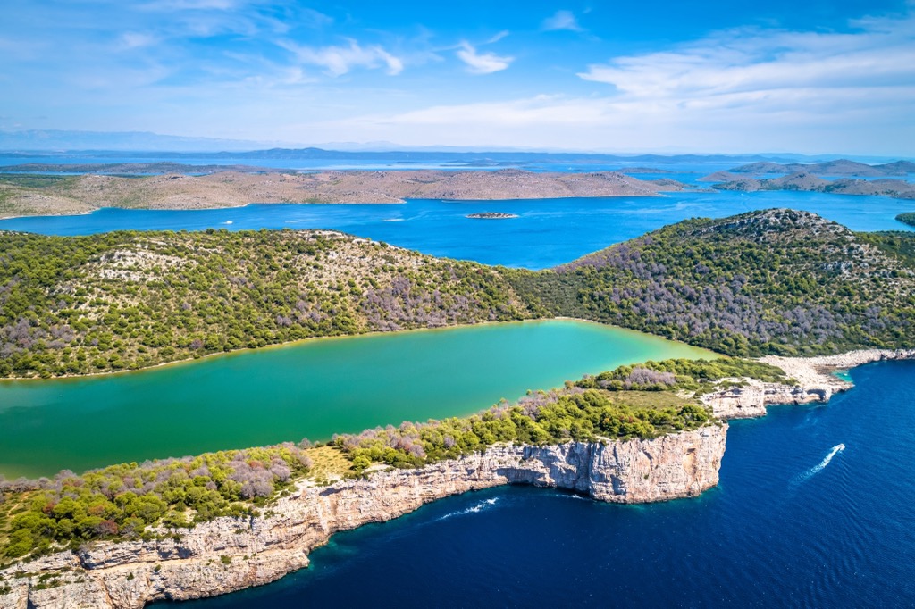
The hike is 4 km (2.4 mi) long when you head out from Skraća, with almost no elevation gain. The trail begins at Mir Bay and continues towards Lake Mir, following a narrow section of land between Telašćica Bay and the open sea. The lake is saline due to its connection with the sea through underground channels. During stormy south winds, the sea overflows into the lake from its southeastern edge. The trail leads to Skraća Beach and then returns over the rocks to Mir Bay.
These are the most significant cities near Park Prirode Telašćica:
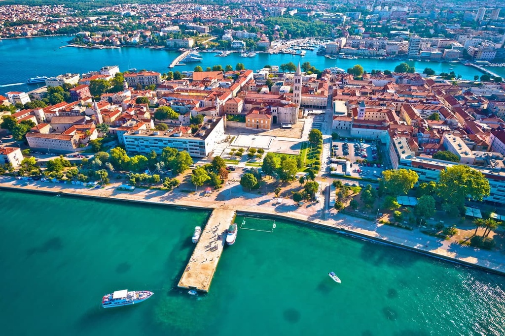
Zadar is on the Adriatic coast of Croatia, in the northern part of Dalmatia, near the islands of the Zadar archipelago. With a population of around 75,000 residents, it is one of the major urban centers in the country.
One of the unique features of Zadar is its seafront promenade, known as the Sea Organ and the Greeting to the Sun. The Sea Organ is an architectural masterpiece that uses the motion of waves to create melodic sounds, providing a mesmerizing and harmonious experience for those who visit. Zadar offers a range of accommodation options to suit different preferences and budgets. Visitors can find hotels, guesthouses, apartments, and hostels in various parts of the city. It boasts beautiful beaches and crystal-clear waters, attracting beach lovers and water sports enthusiasts.
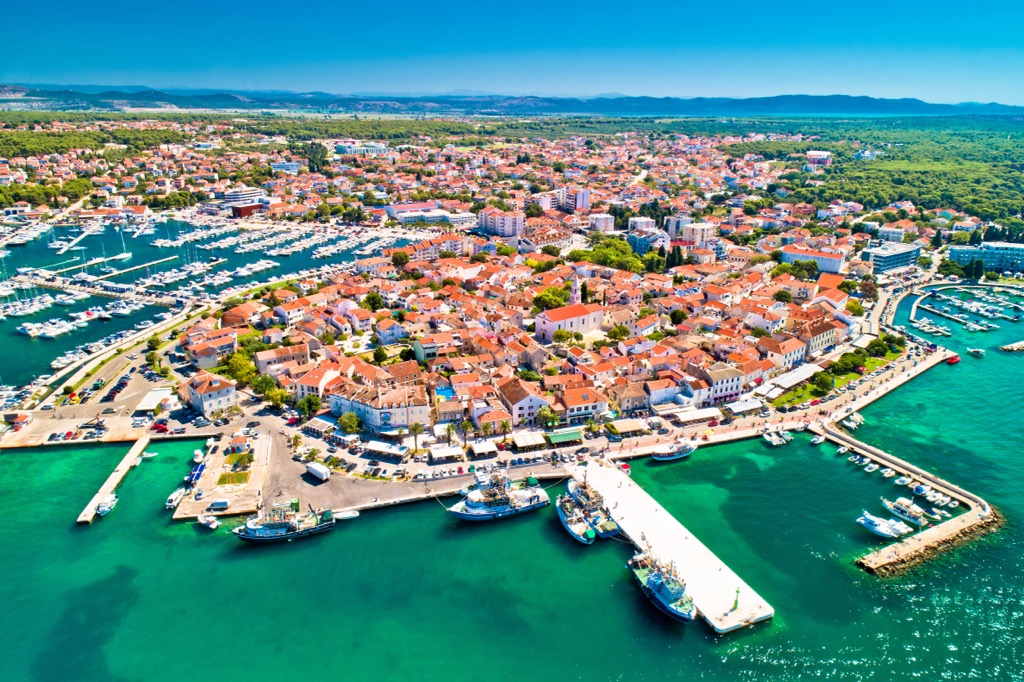
Biograd na Moru is a coastal town in the central part of Croatia's Adriatic coast. It is south of Zadar and north of Šibenik. It is known for its beautiful beaches, crystal-clear waters, and charming Mediterranean atmosphere.
It offers a range of accommodation options, including hotels, resorts, apartments, and campsites, catering to different preferences and budgets. One of the main attractions is the Biograd Fortress, which provides panoramic views of the town and the surrounding coastline. Visitors can enjoy swimming, sunbathing, and water sports at the town's beautiful beaches, such as Dražica and Soline.
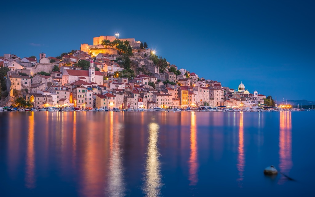
Šibenik is on the Adriatic coast in the region of Dalmatia south of Biograd na Moru. With a population of around 46,000, Šibenik is a small city with significant historical and cultural significance.
In addition to its rich history, Šibenik is a popular destination for its beautiful beaches and crystal-clear waters. The nearby Krka National Park, famous for its stunning waterfalls and pristine nature, is another major attraction in the region. Visitors to Šibenik can enjoy a variety of accommodation options, including hotels, guesthouses, and apartments.
Explore Park prirode Telašćica with the PeakVisor 3D Map and identify its summits.


