
Scan the QR code and open PeakVisor on your phone
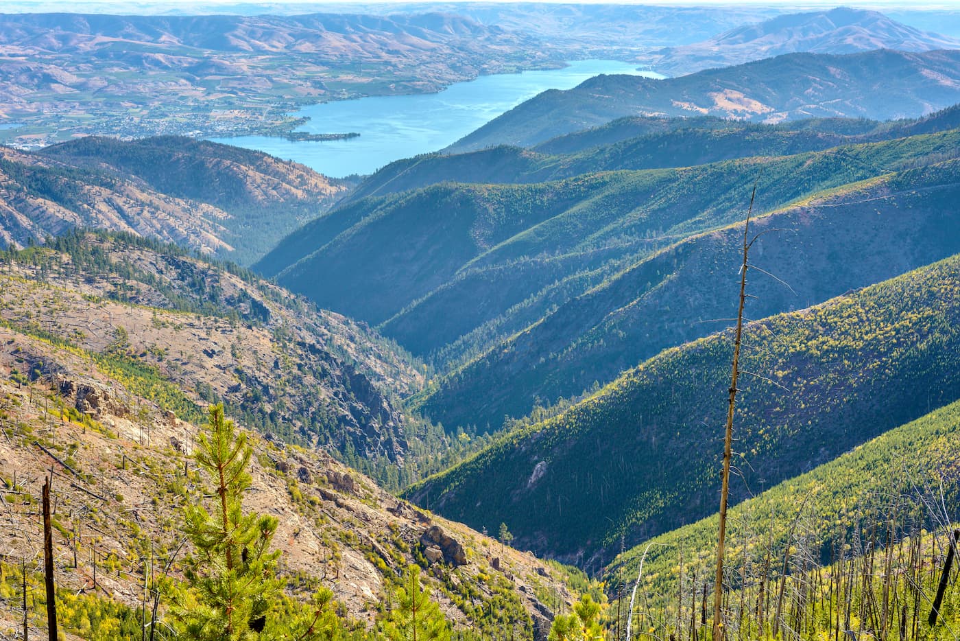
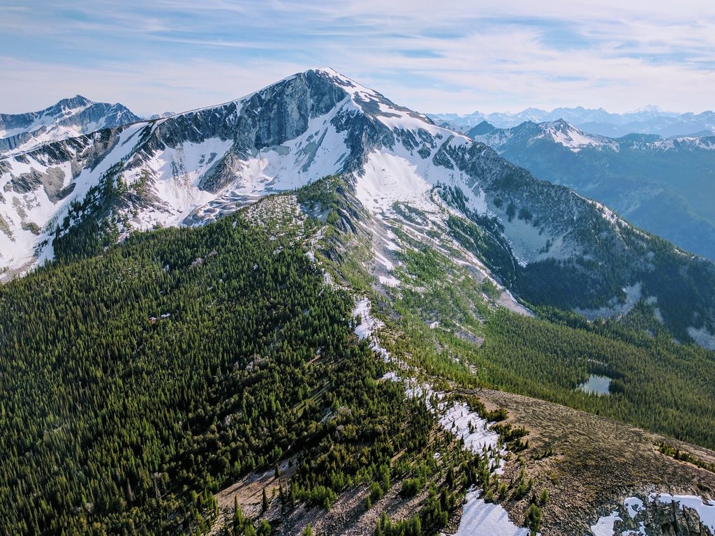
The Lake Chelan-Sawtooth Wilderness is 153,057 acres and located within both the Okanogan and Wenatchee national forests in the state of Washington. The area is bordered by Lake Chelan National Recreation Area, North Cascades National Park, and Stephen Mather Wilderness. With approximately 194 miles of trails and 63 lakes, the Lake Chelan-Sawtooth Wilderness is full of hiking adventures. The wilderness is full of a diverse range of meadows, dense forest, alpine slopes, and high country. Many of the trails tend to be a steady climb up to high basins. Many trails that are south facing lead steeply down into Lake Chelan valley. Every trail on the southside, on Lake Chelan, must be reached by boat or ferry. The land was designated with the passing of the Washington Wilderness Act of 1984. There are 39 named mountains in Lake Chelan-Sawtooth Wilderness. Gardner Mountain is the highest point. The most prominent mountain is Oval Peak.
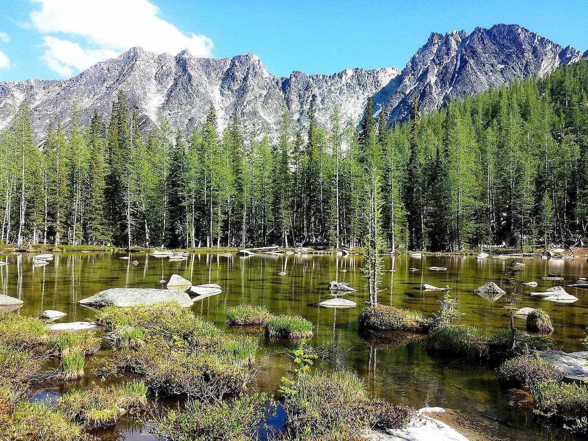
Also known as the Sawtooth Lakes Loop, this is one of the most prominent hiking trails in the wilderness. At 23.1-miles this loop is worth adding to your list. Located near Carlton, Washington, this backpacking adventure is rated as difficult. It can be done at a moderate pace over three days or fast packed in one to two days. This loop offers views of numerous alpine lakes, campsites, mountain passes, and views of the expansive wilderness. Starting at Crater Creek trailhead, follow signs for Boiling Lake. The lollipop loop can be completed in either direction while most backpackers prefer to head northwest to begin.
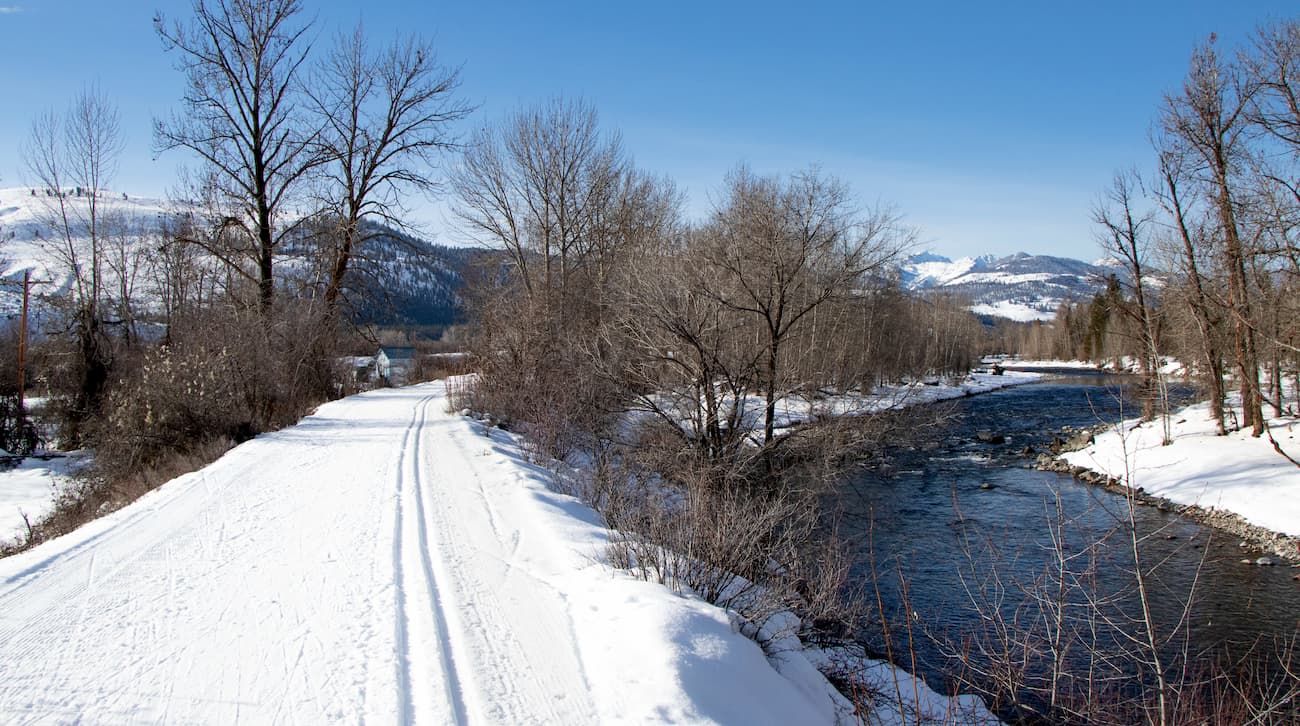
This 11.8-mile trail is an out and back route that leaves from downtown Winthrop. Hikers follow a river along a wide path that has just over 1,000 feet of elevation for the entire hike. One of the reasons this trail is so popular is due to the fact that it can be enjoyed throughout the year. While hikers, mountain bikers, and trail runners frequent it during the warmer months, the trail is used for snowshoeing and cross-country skiing in the winter. The out and back nature allows for any length of hike to be completed throughout the entire year. The trail ends at the top of Sun Mountain and offers views of the surrounding valley.
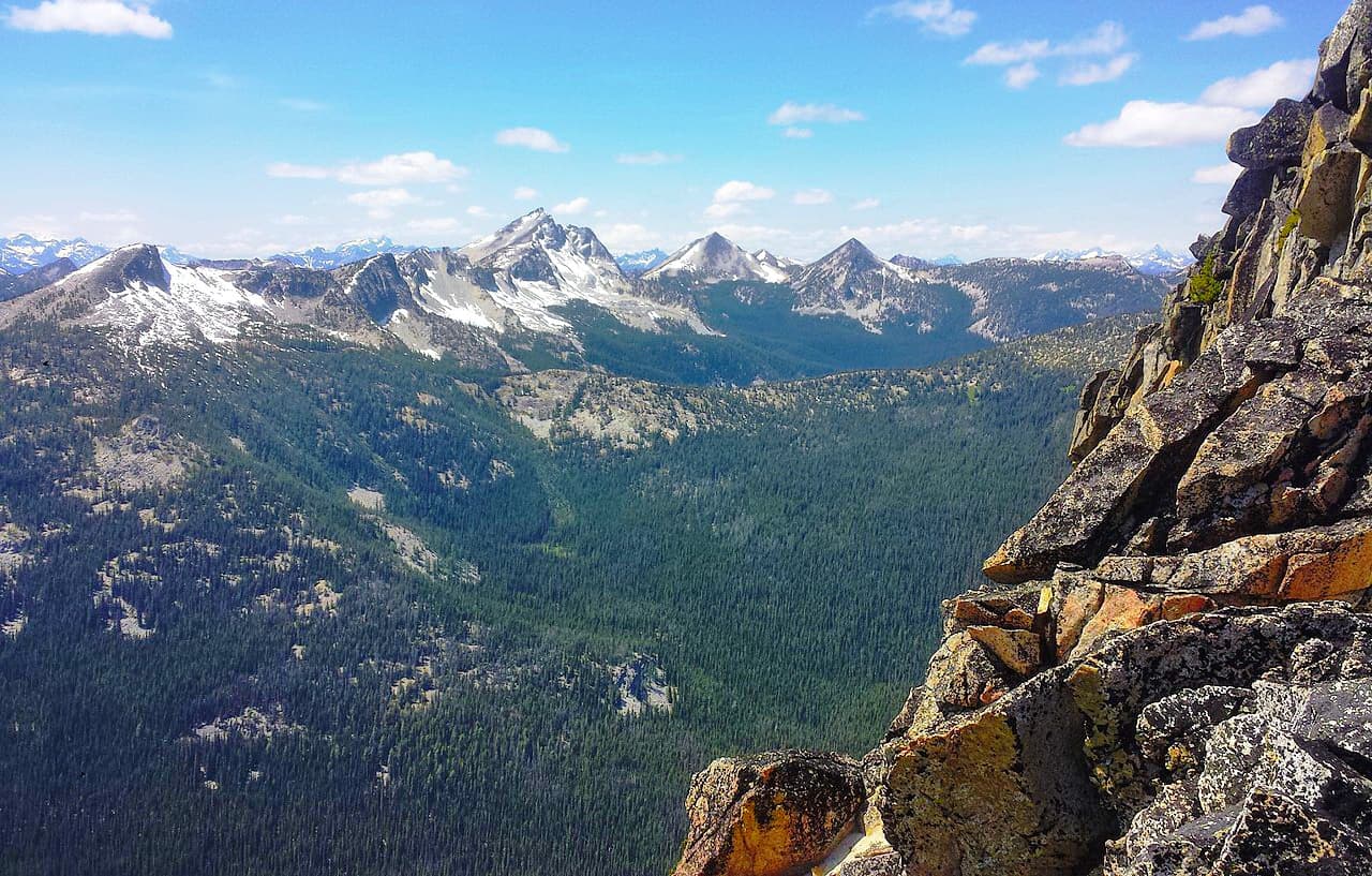
Located near the small town of Twisp, Washington, this 14.7-mile hike is worth the strenuous trail. After climbing over 4,000 feet hikers are rewarded with a crystal-clear alpine lake; perfect for a long day of hiking or a backpacking trip. Since much of the trail was burned in a 2018 fire, the ground is dry and dusty during the summer months. Once you reach the Middle Oval Lake, hikers can scramble up to Oval Peak and the summits along the Buttermilk Ridge for expansive views of the Lake Chelan-Sawtooth Wilderness.
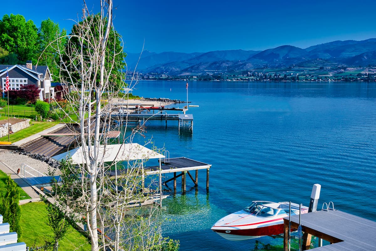
The city of Chelan sits on the southeast tip of Lake Chelan where the lake flows into the Chelan River. Despite having a small population of approximately 5,000 people, the town is full of tourists throughout the year. The lake, surrounding trails, and other outdoor activities attract many tourists, though the region is predominantly known for its wineries. The town itself is full of quaint shops, restaurants, and a plethora of accommodations.
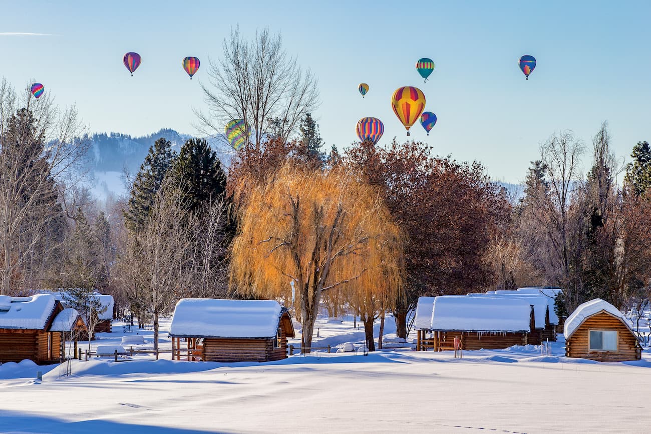
Winthrop is a small mountain town located at the southeast corner of the Pasayten Wilderness. Although it only has a population of a couple hundred people, its quaint atmosphere and proximity to the wilderness, makes it a common stop for hikers. Winthrop is designed to look like an old western town; complete with antique boardwalks, boutiques, restaurants, and cozy overnight options.


.jpg)