Scan the QR code and open PeakVisor on your phone
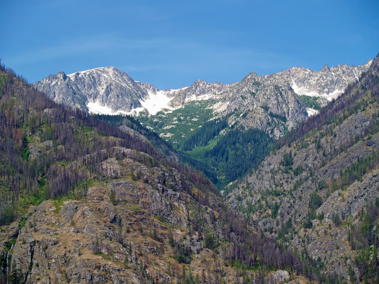
The Lake Chelan National Recreation Area is located about 35 miles south of the Canada-US border in Chelan County. The area spans 61,958 acres and includes the northern end of Lake Chelan, parts of the Stehekin Valley as well as the Stehekin River. The recreation area, along with the town of Stehekin, are only accessible by float plane, ferry, or hiking through the Cascade Range.
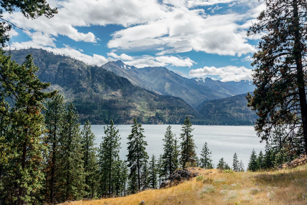
During the summer months an off-road vehicle carries hikers to the town from the Pacific Crest Trail. Passenger ferries leave from the south end of the lake near the town of Chelan. This is also where hikers can find more information regarding the Lake Chelan National Recreation Area. There are 11 named mountains in Lake Chelan National Recreation Area. Castle Rock is the highest point. The most prominent mountain is McGregor Mountain. With a depth reaching 1,500 ft, Lake Chelan is one of the deepest lakes in the entire United States.
Lakeshore Trail (to Moore Point Campground): This scenic trail follows along the north shore of Lake Chelan, great for a short stroll or a long hike all the way to the campground. At 7 miles you will find a trail leading to Moore Point. From here hikers are able to look north to Stehekin or south toward the rest of Lake Chelan. Bring camping gear for a secluded backpacking trip with breathtaking views.
Despite the name this is an out and back moderately rated trail with 8.1 miles and 2,244 feet of elevation gain. The trail takes you to open bluffs that overlook the scenic Stehekin River Valley. Once you reach the top you will be greeted with views of Lake Chelan and surrounding forests. At 2.5 miles in, cross a bridge over Rainbow Creek.
While it is a long drive to this trailhead, don’t let that deter you. This 9-mile round trip hike has 2,460 feet of elevation gain. The first two miles of the hike are moderate as it follows an old mining road turned into a trail. As you climb, the trail offers dramatic views of Lincoln Butte and surrounding peaks as you climb up to Copper Pass, over Twisp River and up through Twisp Pass. The area includes many small spots to set up camp or take a mid-hike nap.
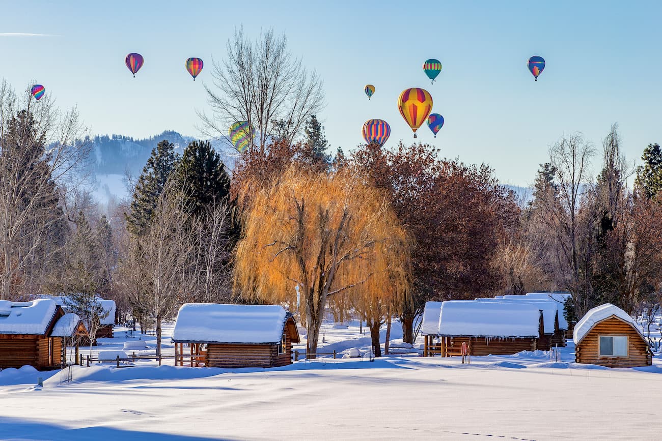
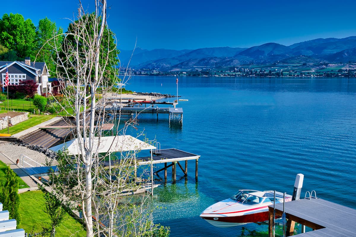
The city of Chelan sits on the southeast tip of Lake Chelan where the lake flows into the Chelan River. Despite having a small population of approximately 5,000 people, the town is full of tourists throughout the year. The lake, surrounding trails, and other outdoor activities attract many tourists, though the region is predominantly known for its wineries. The town itself is full of quaint shops, restaurants, and a plethora of accommodations.
Winthrop is a small mountain town located at the southeast corner of the Pasayten Wilderness. Although it only has a population of a couple hundred people, its quaint atmosphere and proximity to the wilderness, makes it a common stop for hikers. Winthrop is designed to look like an old western town; complete with antique boardwalks, boutiques, restaurants, and cozy overnight options.