Get PeakVisor App
Sign In
Search by GPS coordinates
- Latitude
- ° ' ''
- Longitude
- ° ' ''
- Units of Length

Yes
Cancel
❤ Wishlist ×
Choose
Delete
Immerse yourself in nature at the largest beech forests in Germany when visiting Kellerwald-Edersee National Park. There are 35 named mountains in Kellerwald-Edersee National Park. Traddelkopf (634 m/2,080 ft) is the highest mountain in the park while the most prominent peak in Kellerwald-Edersee is Dicker Kopf (615 m/2,018 ft).
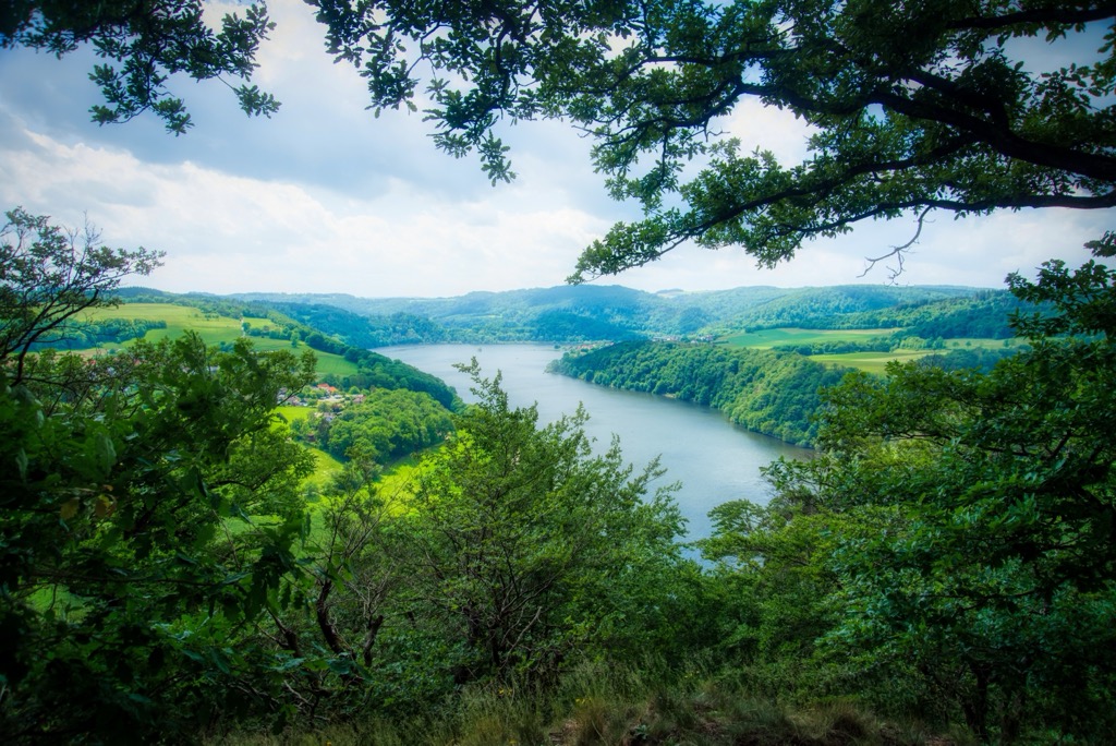
Sat on the southern edge of the Edersee reservoir is Kellerwald-Edersee National Park. Kellerwald-Edersee National Park covers an area of approximately 57 sq. km (22 sq. mi) across the German state of Hesse within the district (Kreis) of Waldeck-Frankenberg.
Kellerwald-Edersee National Park centers around the Ederhöhen, the northern section of the Kellerwald. The Kellerwald is a low-elevation mountain range famed for its natural ancient beech forests.
As the largest of their kind in Germany, the forests of Kellerwald have been designated as a part of the “Ancient and Primeval Beech Forests of the Carpathians and Other Regions of Europe” UNESCO World Heritage Site. There are only five UNESCO World Heritage Sites of this type in Germany.
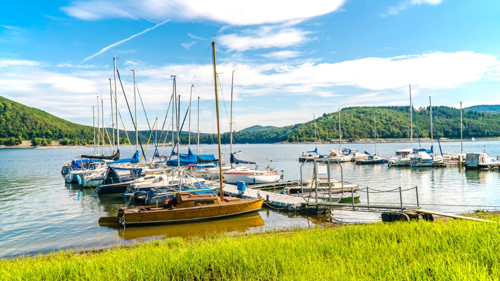
Located on the park's northern boundary is the Edersee, an 11.8 sq. km (4.6 sq. mi) reservoir that snakes from east to west across Waldeck-Frankenberg. The Edersee is the second-largest reservoir in Germany by area after the Forggensee in Bavaria.

Numerous rivers flow through the forests of Kellerwald-Edersee National Park into the Edersee. Notable examples include the Eder, Banfer-Bach, Bärenbach, and Mell Bach.
Several other heavily forested parks and nature preserves are located within close proximity of Kellerwald-Edersee National Park.
For example, Rothaarkamm on Grenzweg Nature Preserve (Naturschutzgebiet Rothaarkamm am Grenzweg) is located approximately 40 km (25 mi) to the west of Kellerwald-Edersee National Park. Hainich National Park (Nationalpark Hainich) is also located approximately 90 km (56 mi) to the east of Kellerwald-Edersee.
Bad Wildungen is the closest major town to Kellerwald-Edersee National Park. It's also home to the park's headquarters. Other notable nearby settlements that are located near the park include Kassel, Frankenberg an der Eder, Korbach, Waldeck, and Frankenau.
Cologne (Köln), Germany's fourth-largest city, is located approximately 140 km (87 mi) to the west of Kellerwald-Edersee National Park, too.
The Kellerwald formed over 300 million years ago during the Carboniferous Period of the Paleozoic Era.
The basis of the Kellerwald mountains originally consisted of old marine deposits of gray sand and clay that formed from sediment compressed on the seafloor.
These deposits were then raised and compacted by the Earth's crust into greywacke and slate, which form the modern basis of the Kellerwald range. Other rock types that are present in the Kellerwald include Kellerwald quartz and dolerite.
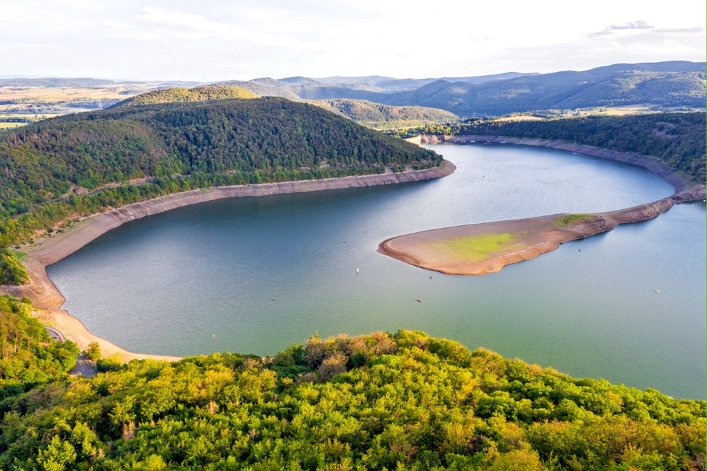
The geology of the Kellerwald is diverse, but most of the range is thought to belong to the Rhenish massif. This massif, which is made primarily of slate, formed during the Hercynian orogeny. This orogeny was caused by a continental collision between the supercontinents of Laurussia and Gondwana, which resulted in the formation of Pangaea.
The Rhenish massif is a part of the Rhenohercynian Zone, a belt of fold and thrust Devonian and Carboniferous rocks, which was located on the southern margin of Laurussia. The same rock formations are found in the Harz Mountains and in parts of Cornwall in England.
Over time, erosion and glaciation wore down the Kellerwald, drastically reducing its height and carving deep gorges and valleys across the landscape.
Today, Kellerwald-Edersee National Park is home to over 30 low-elevation peaks, the highest of which is Traddelkopf (634 m/2,080 ft). Other notable summits include Dicker Kopf (615 m/2,018 ft), Talgang (582 m/1,909 ft), and Daudenberg (474 m/1,555 ft).
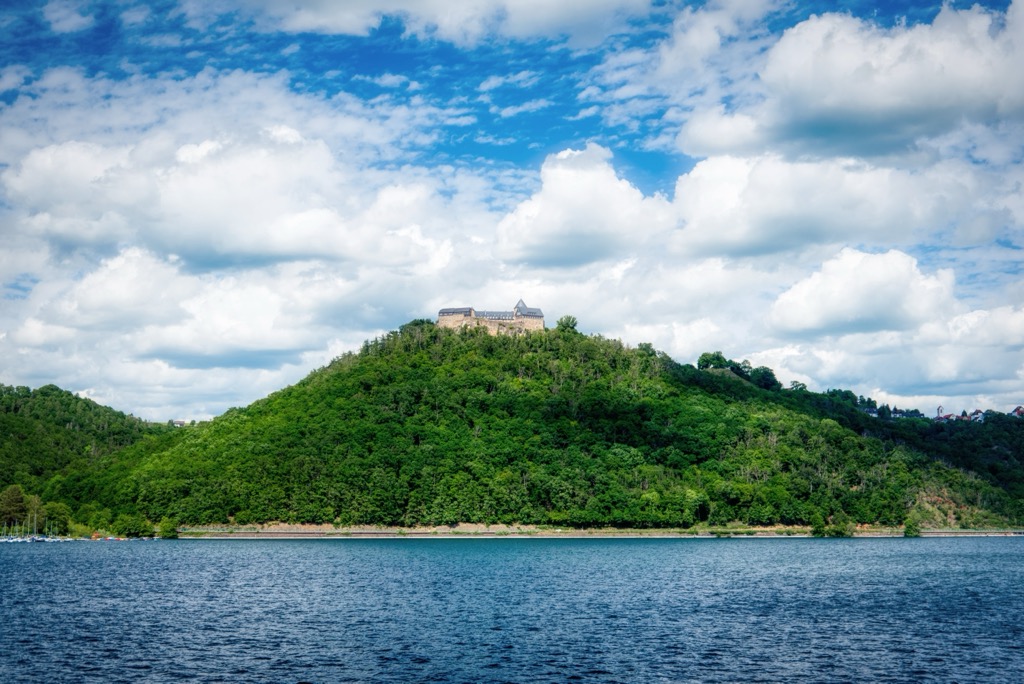
The wildlife of Kellerwald-Edersee National Park has been able to thrive over the years thanks to the region’s vast untouched beech forests. Read on to find out more about Kellerwald-Edersee National Park's flora and fauna.
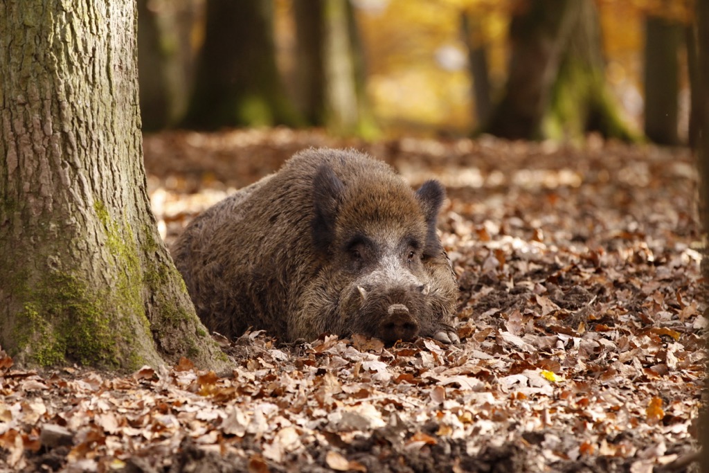
The red deer is the largest mammal in North Hessian's forests. Rutting season takes place from August to September each year, and the sound of clashing antlers is common across the Kellerwald. Other large mammals that live in the region include wild boar, European mouflons, and fallow deer.
The Eurasian lynx is the park's largest predator. Eurasian lynx were reintroduced to the Harz Mountains in the year 2000 after a 200-year absence, and they have since increased their range to include places as far away as the Kellerwald. Another fascinating and elusive feline predator found in Kellerwald-Edersee National Park is the European wildcat.
The Kellerwald is home to eighteen bat species, which represents approximately 75 percent of all bat species found in Germany. Five of these species, including Bechstein's bat and the greater mouse-eared bat, are endemic to Europe.
Furthermore, the park's beech forests are the perfect habitats for various bird species, including short-toed treecreepers, pied flycatchers, mistle thrushes, and blue tits. Notable birds of prey found within Kellerwald-Edersee National Park include eagle owls, honey buzzards, and red kites.
Seven of the ten woodpecker species found in Central Europe inhabit Kellerwald-Edersee National Park, including gray woodpeckers, black woodpeckers, and middle woodpeckers.
Numerous insect species can be found in the Kellerwald, including several large species of beetle, such as the violet click beetle. As relics of Kellerwald's ancient past, these beetle species have survived as their specialist habitats have managed to go undisrupted for thousands of years. These beetles are indications that the Kellerwald's forests are very healthy.
Ancient beech forests are an essential feature of Kellerwald-Edersee National Park. In fact, approximately 10 sq. km (3.8 sq. mi) of Kellerwald-Edersee National Park is covered in beech trees that are over 160 years old.
In areas of the park such as Ringelsberg (401 m/1,316 ft) and Wooghölle, trees can be as old as 260 years old. Some of the park's beech trees even reach the venerable old age of 450.
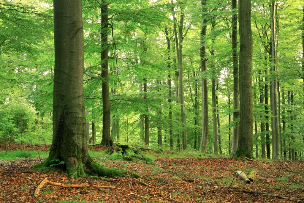
The soil quality in Kellerwald-Edersee National Park is poor and acidic, which means that it supports fewer species than most other forests. However, many of the plant species found within Kellerwald-Edersee National Park are rare or endangered.
Growing in large swathes throughout the beech forests is grove rush, one of the most common plant species in Kellerwald-Edersee National Park. Other common plants include blue brooms, blueberries, and heathers.
In the few soil-rich areas of Kellerwald-Edersee National Park, grass and woodruff carpet the landscape. Onion toothwort, whorl-leaved comfrey, and various herbs can be found at higher elevations in the park, too. Sycamore trees also become a more common sight in the park's beech forests at higher elevations.
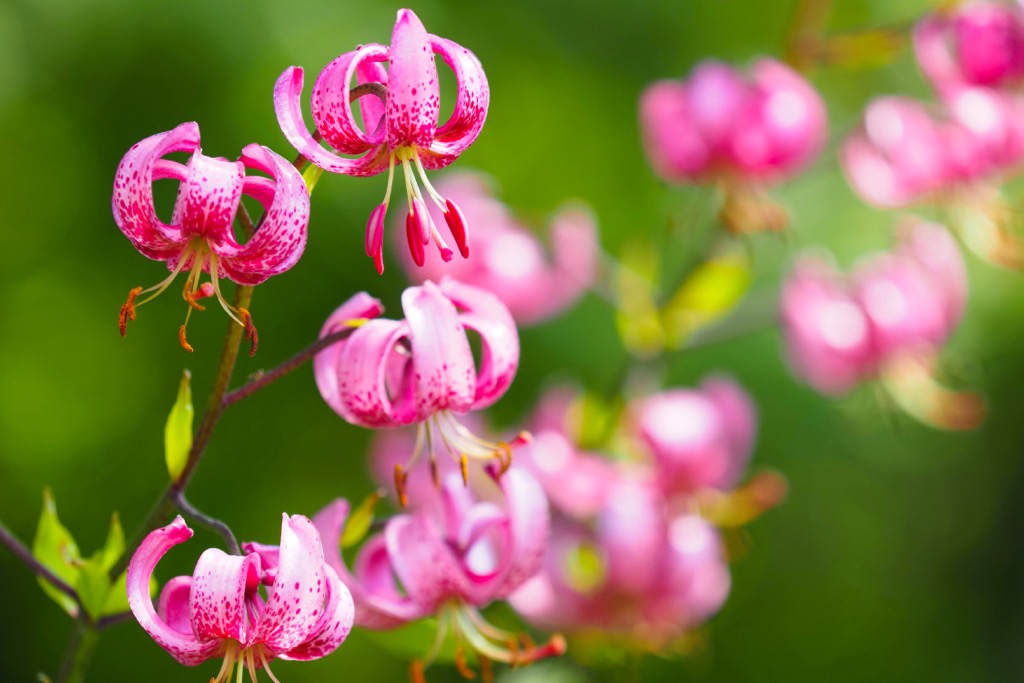
Other rare and interesting flowers that grow within Kellerwald-Edersee National Park include Whitsun carnations, western marsh orchids, martagon lilies, maiden pinks, and wild daffodils.
Humans have inhabited central and northern Hesse since the Paleolithic era. Recently, archeologists discovered the remains of a 7,000-year-old settlement along the Lahn River from the people of the European Neolithic Linear Pottery culture.
The origins of the name Kellerwald aren't clear. One theory stems back to the seventeenth century when the forests were used extensively for charcoal burning (köhlerei). This resulted in the name Köhlerwald, which was eventually changed to Kellerwald.
Another theory is that the name Kellerwald comes from Kahler Wald, meaning ‘bald forest’ or ‘bare forest.’ If this theory is correct, it suggests that large parts of the woodlands were cleared at some point in time.
Due to its remoteness, the Kellerwald went mostly uninhabited and undeveloped until the nineteenth century. The timber trade and silviculture were never popular in the area, as the range's rocky terrain made forest management difficult.
Before the nineteenth century, the forests of the Kellerwald were used primarily as royal hunting grounds for the Princes of Waldeck and Pyrmont.
The Kellerwald also has a strong connection to the Brothers Grimm, two of the world’s most famous fairy tale authors. The brothers, who were born in the Hessian town of Hanau, lived in nearby Kassel for several years. It's believed the ancient twisted trees of the Kellerwald influenced some of their most famous stories. Furthermore, the spa town of Bad Wildungen is believed to have been the inspiration for the story of Snow White.
Due to the Kellerwald's biodiversity, the area was designated as a nature reserve as early as 1935. However, this conservation status was diminished over the following decades. Finally, a natural forest reserve was established in the Kellerwald in 1990.
This natural forest reserve became Kellerwald-Edersee National Park in 2004. In 2011, Kellerwald-Edersee National Park became the first national park in Germany to be assigned to the International Union for Conservation of Nature (IUCN) Management Category II.
You'll find 20 circular hiking routes within Kellerwald-Edersee National Park, each of which can be completed on half-day tours. Every hiking trail is clearly marked with either plant or animal symbols.
All of these official routes start in designated parking areas, which feature sign boards with information on the route's length, difficulty level, and points of interest. Each of these 20 loops forms a part of one of the region's long-distance hiking trails, such as the 167 km (104 mi) Kellerwaldsteig and the 70 km (42 mi) Urwaldsteig Edersee.
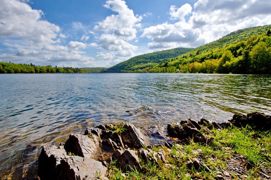
Due to the remote nature of Kellerwald-Edersee National Park, you should inform others of your itinerary before setting off on a hike. Bring along maps, hiking boots, and plenty of food and water.
You should also note any points of rescue along your proposed route. These points are clearly marked on the park's map. If you require assistance, call 112 to reach the park's rescue service and inform them of your nearest point of rescue.
Read on to learn about some of the best hikes in Kellerwald-Edersee National Park.
Traddelkopf (634 m/2,080 ft) is the highest mountain in Kellerwald-Edersee National Park. Traddelkopf is also the highest summit in the Ederhöhen, which is the northern half of the Kellerwald mountain range.
The park's Traddelkopf route will take you near the summits of Traddelkopf, Ahornkopf (626 m/2,054 ft), and Lingenkopf (521 m/1,709 ft). You can pick up this trail from the Heinrichshütte national park parking area near Gellershausen. This trail is approximately 9.9 km (6.1 mi) in length, and it’s marked by a spotted woodpecker symbol.
Along this route, you'll pass through some of the finest ancient beech forests in the park where some of the trees are over 200 years old. At the midway point in the walk, you'll find the Bathildishütte (493 m/1,617 ft), a former horse stable of the park's princely hunting lodge that now serves as a mountain hut for hikers.
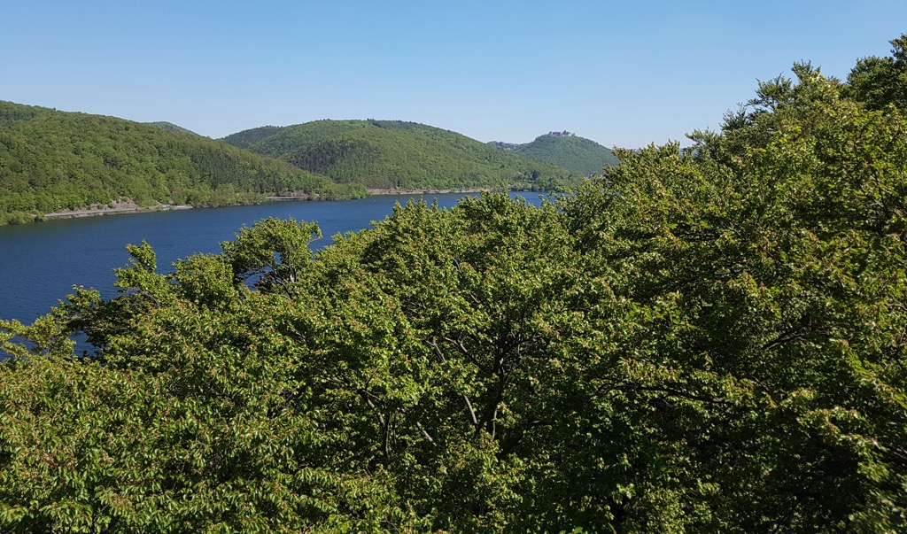
Dicker Kopf is the most prominent mountain in Kellerwald-Edersee National Park. Hikers can check out the Dicker Kopf route, which leads through the woodlands around Dicker Kopf and up some nearby minor summits.
You can pick up the Dicker Kopf route from the Trifthütte national park parking area near Kleinern. This trail is approximately 10.2 km (6.3 mi) in length, and it's marked by a beech leaf symbol.
Along this trail, you'll pass through the scenic Heimbach Valley (Heimbachtal) and along the shores of the high reservoir of Hochspeicherbecken, which lies on the slopes of Peterskopf (517 m/1,696 ft). One point of interest along this trail is the remnants of an old wooded pasture that was used in feudal hunting times and is known as a tannentriesch.
An alternative route up Peterskopf on the Heimbach route takes you to the Peterkopfbahn cable car station, where there's a snack bar and some excellent views of the high reservoir. This trail can also be picked up from the Trifthütte national park parking area. The route is 9.2 km (5.7 mi) and is marked with a fire salamander symbol.
Quernst (565 m/1,854 ft) is one of the most historic and popular hiking areas in Kellerwald-Edersee National Park. Visitors flock to the area to visit the picturesque Quernst Chapel (Quernst Kapelle), which sits at approximately 540 m (1,772 ft) in elevation and is surrounded by dense wilderness.
One of the best ways to visit the Quernst Chapel is on the Quernstweg historical footpath. This trail is steep and rocky, so hiking shoes are recommended. You can pick up this trail from the KellerwaldUhr national park parking area near Frankenau.
You'll find two possible routes to follow on the Quernstweg, the shortest of which is 3.4 km (2.1 mi) in length. The trail is marked with a Quernst Chapel symbol.
The Quernstweg starts by leading to the summit of Talgang (582 m/1,909 ft) before heading to the Quernst Chapel. Many people visit the chapel after dark to experience some of the clearest night skies in western Germany, though be sure to bring a flashlight or headlamp for a nighttime hike!
The summit of Hagenstein (376 m/1,234 ft) affords visitors one of the most spectacular views in Kellerwald-Edersee National Park.
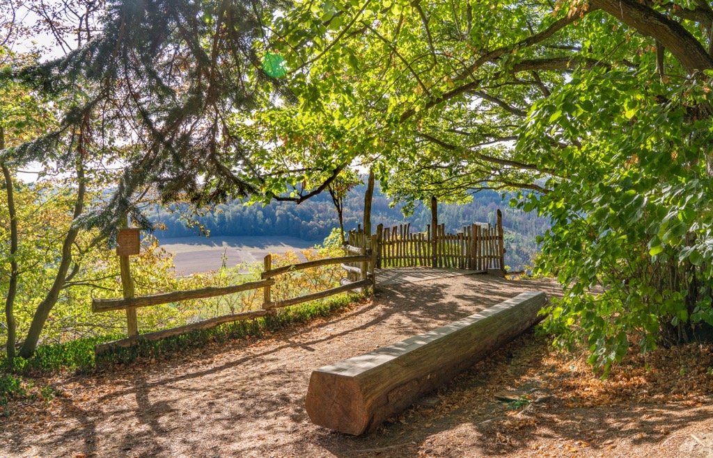
Atop Hagenstein is the Loreley of the Eder Valley (Loreley des Edertals), a viewpoint that provides sweeping views of the winding Eder River. After visiting the Loreley of the Eder valley, you'll pass over the scenic plateau of Himmelsbreite.
There are three parking areas along the Hagenstein route, meaning there are three possible itineraries for hikers to choose from. You can reach the summit of Hagenstein from the NationalparkZentrum, Kirchlotheim, and Himmelsbreite national park parking areas.
The longest route is the 5.6 km (3.5 mi) trek from the NationalparkZentrum parking area. The other two routes are both approximately 4.4 km (2.7 mi) in length. These trails are marked with a foxglove symbol.
The simple trek to the summit of Daudenberg (474 m/1,555 ft) is popular among families and offers two sweeping vantage points.
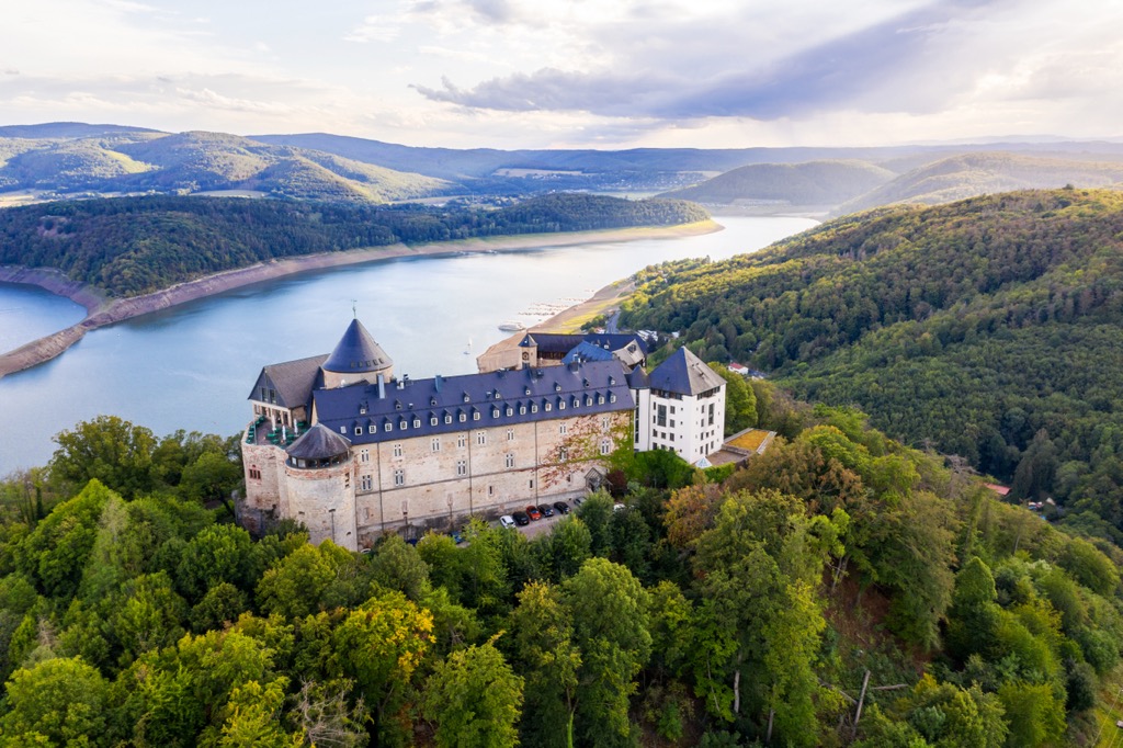
On this hike, you'll first find the Christianseck, a viewpoint that was once the site of a seventeenth-century hunting lodge. It now provides fine vistas of the Kellerwald's rolling forested mountains. Then you'll reach the Fünfseenblick (Five Lake View), which boasts impressive views of Waldeck Castle (Schloss Waldeck) and the nearby lakes.
You can pick up the Daundenberg route from the Kirchweg national park parking area near Bringhausen. The route is approximately 4.7 km (2.9 mi) in length and is marked with a beetle symbol.
It's not just the forests of the Kellerwald that are the stuff of fairytales as you'll find plenty of magical towns near Kellerwald-Edersee National Park, too. Read on to find out about the best towns and cities near Kellerwald-Edersee National Park.
Kassel is the nearest major city to Kellerwald-Edersee National Park. Located approximately 60 km (37 mi) northeast of the park, Kassel is a university city that’s known for its diverse culture.
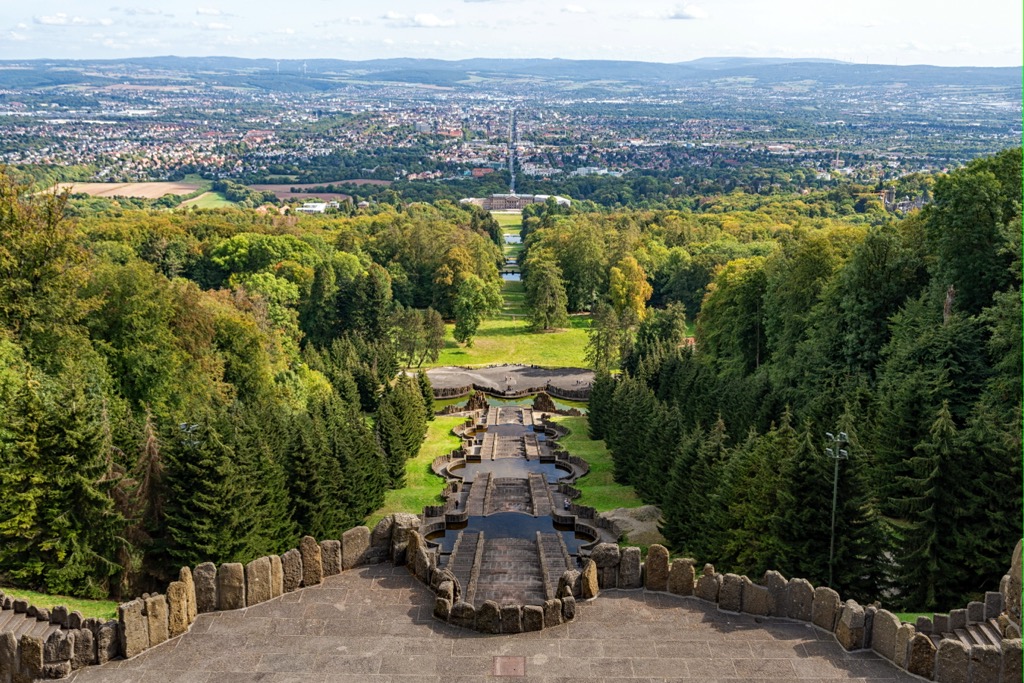
As is the case with many settlements around the Kellerwald, Kassel is a stop on the Fairy Tale Route (Deutsche Märchenstraße). The Brothers Grimm lived in Kassel for several years and wrote many of their most famous fairy tales in the city.
Kassel boasts several of the top attractions in the region, like the Bergpark Wilhelmshöhe, which is a UNESCO World Heritage Site and the largest hillside park in Europe. Fans of contemporary art should also visit the eighteenth-century Fridericianum, which is one of the oldest art museums in Europe.
Popular hotels in Kassel include H4 Hotel, Pentahotel, and Hotel Reiss.
Bad Wildungen is the largest town near Kellerwald-Edersee National Park, and it is also the park's headquarters. This state-run spa is a classic Hessian town that’s complete with timber-framed houses and cobbled streets. Bad Wildungen is home to some unique attractions, like Reinhardshausen, the largest spa garden in Europe.
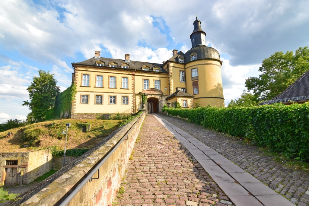
If you plan on visiting Bad Wildungen, ensure you take a tour of the baroque Friedrichstein Castle (Schloss Friedrichstein). In the sixteenth century, this castle was home to Margaretha von Waldeck, the daughter of Count Philip IV.
Records show Margaretha was renowned for her beauty but died young of suspected poisoning. Margaretha's brother Samuel also owned copper mines in the village Bergfreiheit. Her life inspired the famed Brothers Grimm's fairytale, Snow White and the Seven Dwarves. If you get a chance, it’s also nice to take a trip to nearby Bergfreiheit, the Snow White Village (Schneewittchendorf).
Popular hotels in Bad Wildungen include Maritim Hotel, Göbel's Hotel Quellenhof, and Hotel Sofia.
The historic town of Frankenberg an der Eder is located approximately 15 km (9.3 mi) to the southwest of Kellerwald-Edersee National Park. Frankenberg was built on a strategic ford in the Eder River by the Thuringians in the thirteenth century, and it played a key role in the Franks and Saxon Wars.
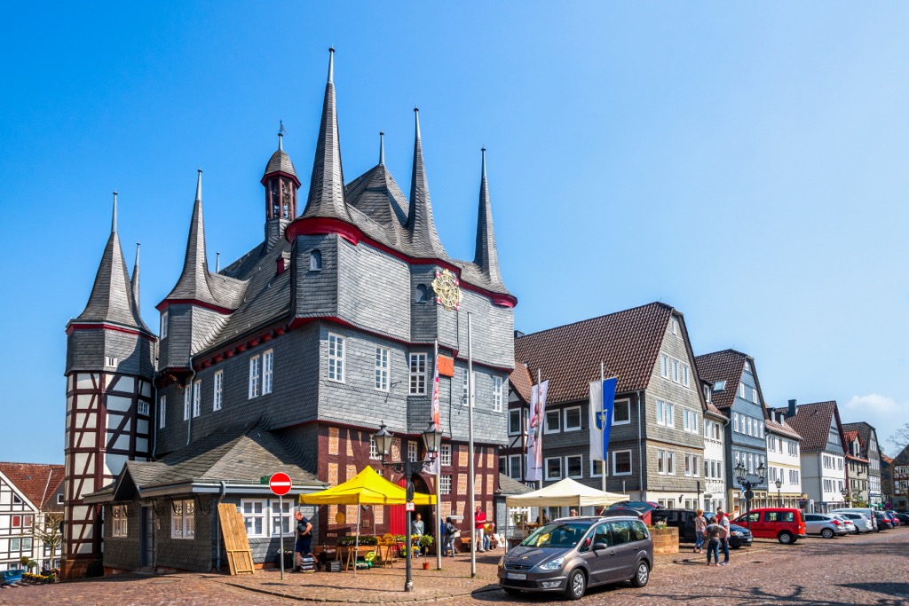
Today, Frankenberg is split into a new and old town, with many half-timbered buildings adding to its charm. Frankenberg is home to a variety of attractions, from the Wildpark Frankenberg to the thirteenth century Lichtenfels Castle (Burg Lichtenfels).
Popular hotels in Frankenberg include Hotel Die Sonne Frankenberg, Hotel Rats-Schänke, and AKZENT Hotel Frankenberg.
Korbach is the capital of the district of Waldeck-Frankenberg. The town has a well-preserved Hanseatic history, with its fifteenth-century defensive walls, gothic churches, and medieval storehouses. Like many other towns in the area, the streets are dotted with enchanting half-timbered houses.
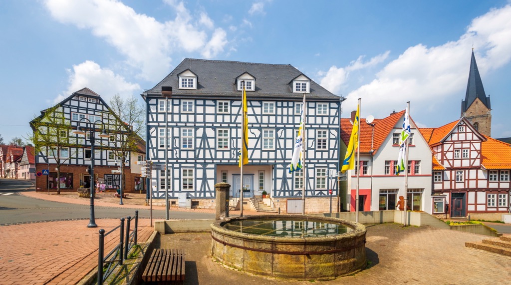
Fancy learning more about Korbach's history? Pay a visit to the ruins of the fourteenth-century Eisenberg Castle or tour the Museum Korbach (Musée de Korbach). Korbach is an ideal base from which to explore the Kellerwald and is situated just 15 km (9.3 mi) north of the national park.
Popular hotels in Korbach include Hotel Touric, Hotel Am Dalwigker Tor, and Hotel Goldflair am Rathaus.
Resting on the northern shores of the Edersee is the picturesque town of Waldeck. Despite its small size, Waldeck has a long history as it served as the residence of the Counts of Waldeck from the thirteenth century. In 1712, these counts became the Princes of Waldeck-Pyrmont.
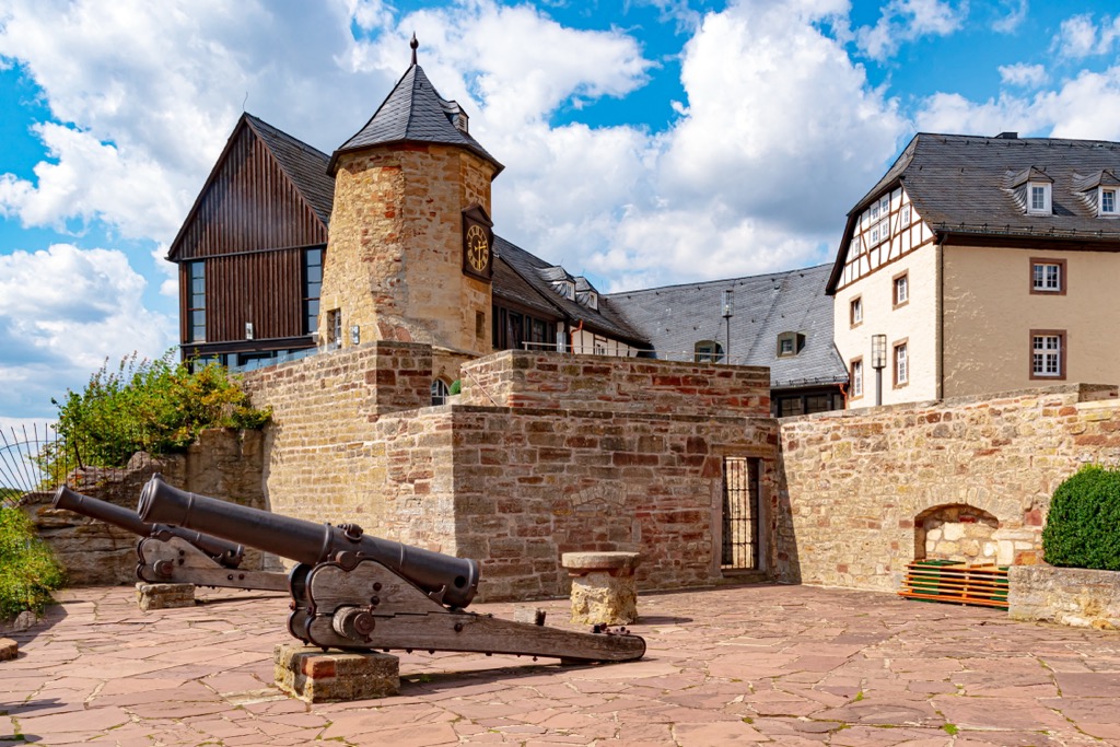
While the town has lost its importance over the centuries, it now serves as a popular tourist destination for lovers of the great outdoors. Book a room at the hilltop medieval Waldeck Castle (Schloss Waldeck) if you're searching for somewhere unique to stay during your visit to Kellerwald-Edersee National Park.
Explore Kellerwald-Edersee National Park with the PeakVisor 3D Map and identify its summits.


